Seeing Kelvin Helmholtz
24th January 2017
A milder day but with cooling winds, snow fields still available on North-East to East aspects.
We also had along with us today some of the mountain weather forecast team from Met Office Aberdeen. On a regular basis we get together and discuss weather effects on snowpack stability as well as continuing our collaboration and discussing ways to improve  information exchange and forecast provision to mountain and hill goers. It was good that they were along as we were able to identify a very rare Kelvin Helmholz cloud, an indicator of wind shear, with strong winds above the cloud plucking cloud strands from its upper surface into a unique and fleeting fishbone like shape. ( see description below)

Coire an Lochain
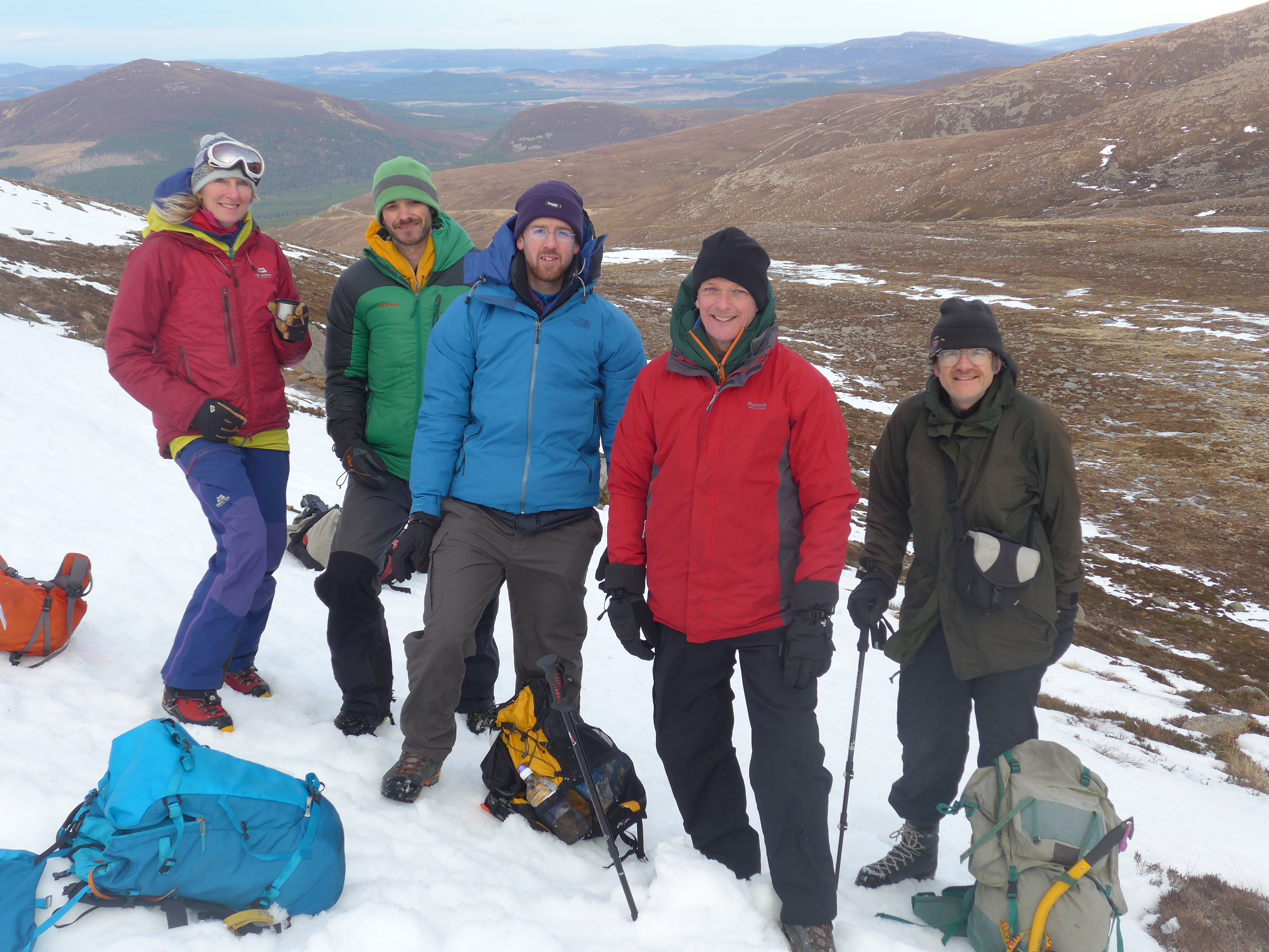
Kathy with the Met Office Mountain weather forecast team from Aberdeen. LtoR Mike Reading, John Mitchell, Gordon McKinstry and John Owen
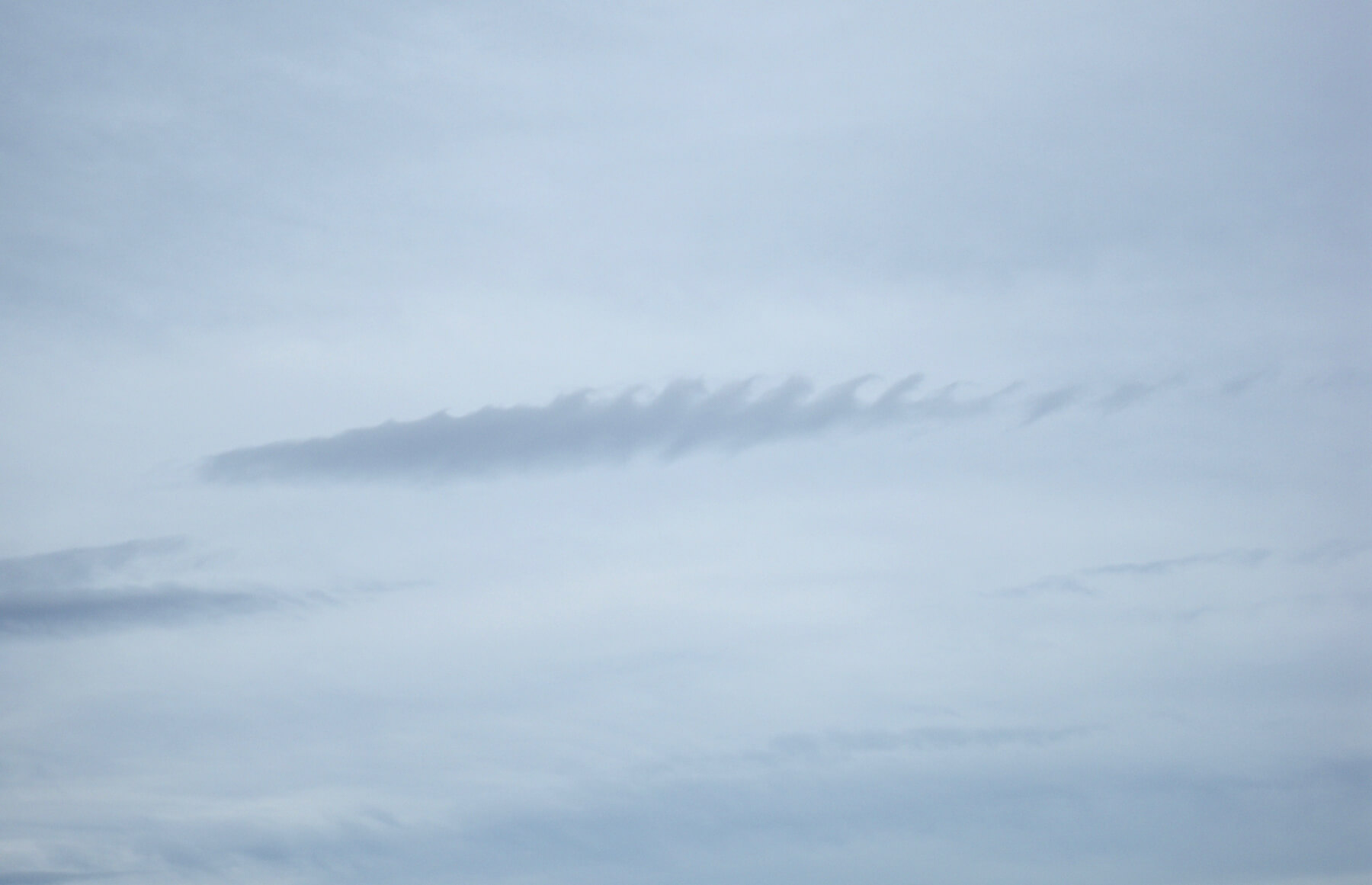
Kelvin-Helmholtz clouds Resembling evenly spaced rolling ocean waves, Kelvin-Helmholtz are one of the most striking and rare cloud types. Height of base: Above 16,500 ft. An extremely rare phenomenon where a cloud produces a billowing wave pattern. The distinctive Kelvin-Helmholtz cloud occurs when there is a strong vertical shear between two air streams causing winds to blow faster at the upper level than at the lower levels. They are named after Hermann von Helmholtz and William Thomson Kelvin who were meteorologists who studied turbulent air flow.
Comments on this post
Got something to say? Leave a comment


