Storm Force Winds
14th February 2021
Covid -19
The Scottish Avalanche Information Service issues information to support permitted activity under current Scottish Government guidance.
Please be aware of current mandatory travel restrictions in Local Authority areas within Scotland and respect local communities by referring to Scottish Government guidance and safe route choices for exercise. For further guidance please refer to the following information for hillwalkers and climbers and snowsports on ski and board.
This blog is intended to provide hazard and mountain condition information to help plan safer mountain trips.
Today was characterised by storm force winds again from the South-South-East. For anybody familiar with the Cairngorm plateau, southerly winds are revered for their innate and elemental ferocity, and today was no exception.
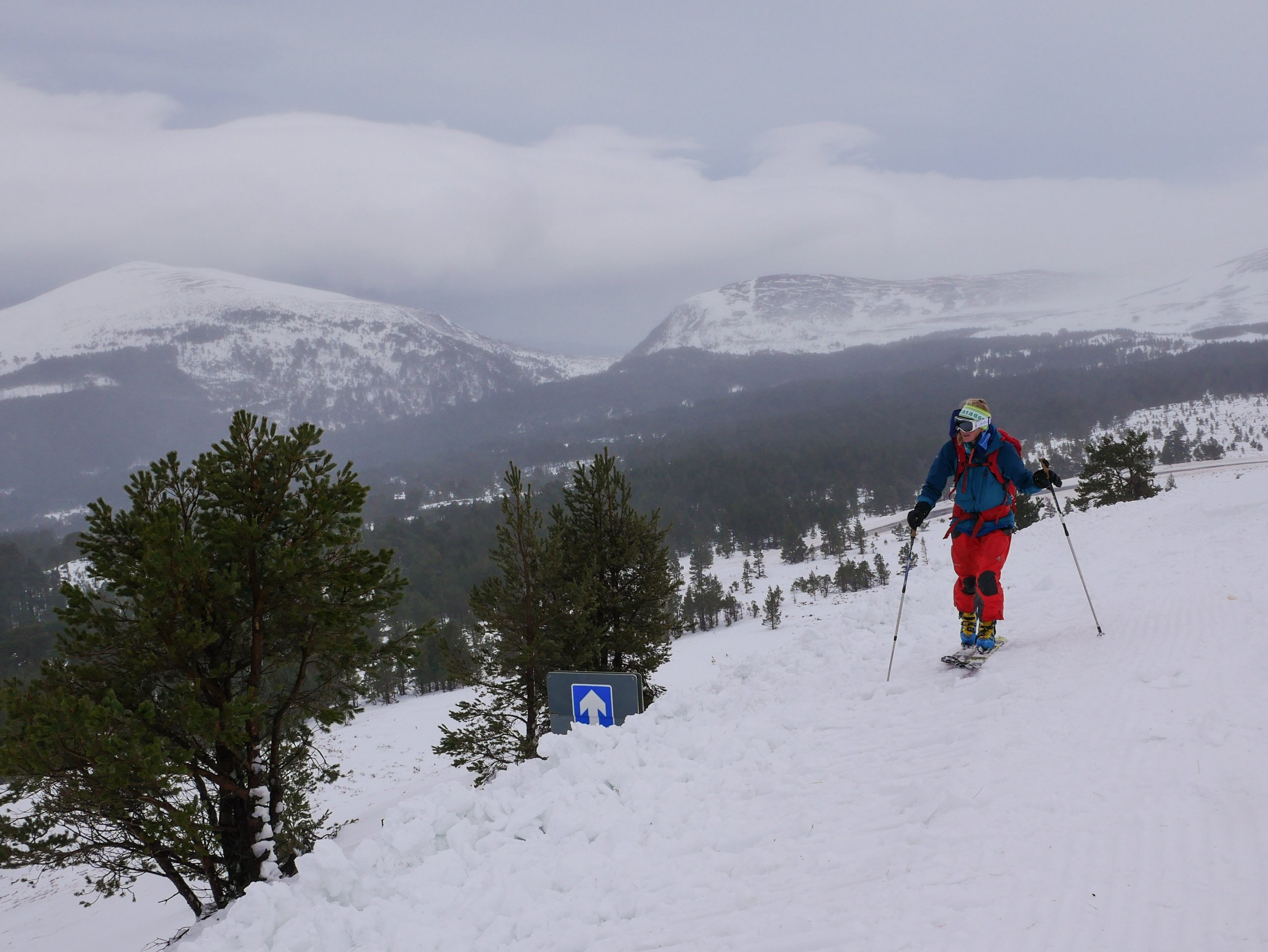
We were able to make some observations at lower elevations using the ski road, which is obscured in many places following the drifting in the last 48 hours. Here we conducted our formal snow profile at the site of a recent avalanche that had crossed the road. This was most likely to have run on surface hoar which was subsequently buried by windslab.
There have been a few of these avalanches logged recently including one on Carn an Fhreiceadain and another on Geal Charn Mor, both of which are likely to have run on the same layer. Deeper instabilities are also persisting given the cold snow temperatures. These are in many places bridged by new windslab and older hard windslab. However, skiers and climbers can trigger this layer where the windslab becomes thinner especially at the top of convexities.
You can find the latest avalanches recorded in the last 7 days under Recent Avalanche Activity in the Observed Avalanche Hazard section of todays report.

The access road to Cairngorm Mountain. Our formal snow profile site was just above the road here where an avalanche had released naturally in the last 48 hours (not pictured).
The road signs and marker poles were only just visible following the heavy drifting of the last 48 hours.

A screenshot of a remote snowpack monitoring site at higher elevations. This image shows the temperature within the snowpack. Notice the steep temperature gradient from the ground to 80cm. Under these conditions weak layers will persist for a while yet. [Snow data from Simba provided by Scottish Association of Marine Science (SAMS), Oban].
Comments on this post
Got something to say? Leave a comment


