Before the storm
9th March 2021
Covid -19
The Scottish Avalanche Information Service issues information to support permitted activity under current Scottish Government guidance.
Please be aware of current mandatory travel restrictions in Local Authority areas within Scotland and respect local communities by referring to Scottish Government guidance and safe route choices for exercise. For further guidance please refer to the following information for hillwalkers and climbers and snowsports on ski and board.
This blog is intended to provide hazard and mountain condition information to help plan safer mountain trips.
The afternoon turned brighter after a cloudy mizzly start in the morning. Â The snow is softer underfoot due to recent milder humid conditions. Â Cornices remain in place above Northerly aspects in the corries.
Overnight, we expect fresh windslab to develop on North-West through North to East aspects, above 950 metres. Throughout the period, windslab will continue to accumulate at these locations. Also, some poorly bonded windslab is likely to develop at lower elevations on these same aspects, in isolated steep sheltered locations. The avalanche hazard will be Considerable.
A stormy 48 hr period is forecast, with fluctuating freezing levels and a fair amount of snow and rain. This will certainly lead to some poor mountain conditions as well as some unstable snow conditions. More details can of course be found in the avalanche report for the various areas.
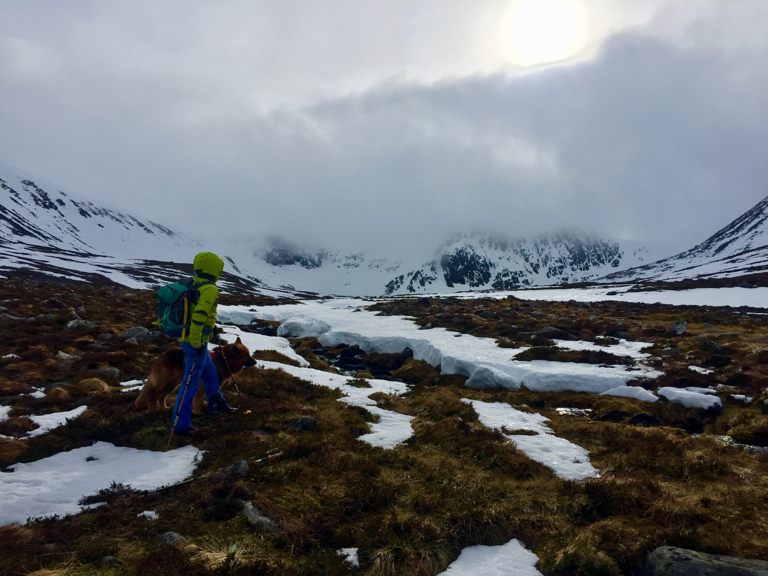
A brief glimpse of Corrie an t-Sneachda, though it was lost in the murk for most of today.
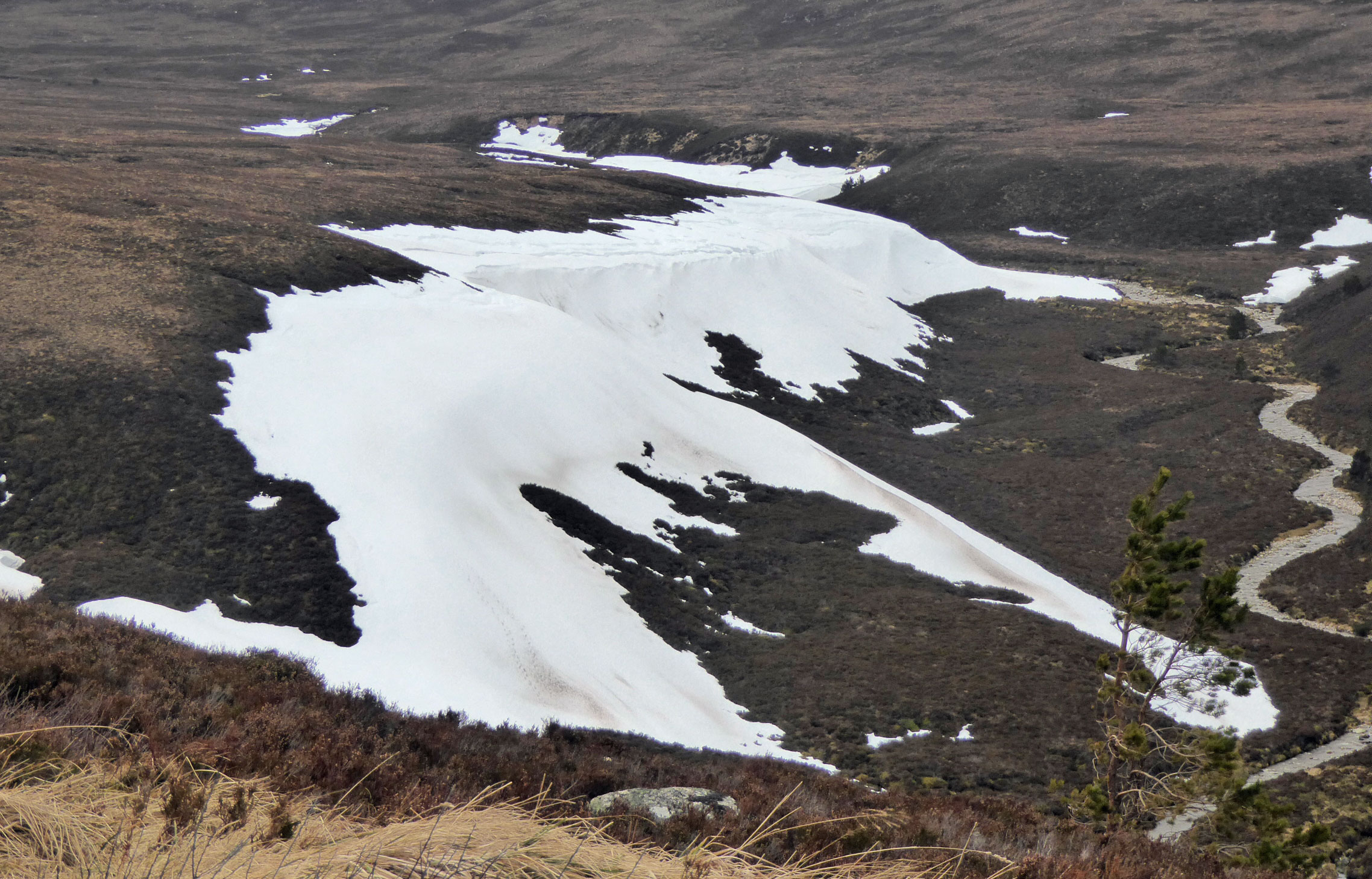
Impressive drifts remain at lower elevations on North aspects. A testament to the large amounts of snow that came in on Southerly winds earlier in the season.
Comments on this post
Got something to say? Leave a comment


