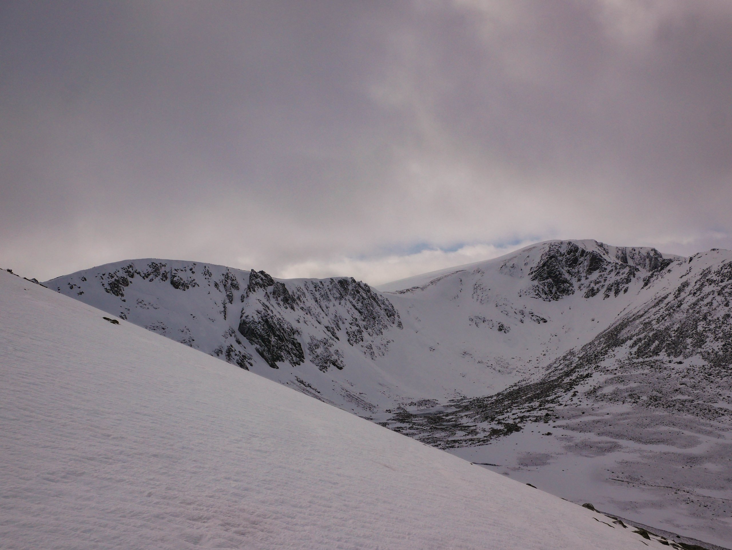
Frontal system on the way
27th March 2021
Covid -19
The Scottish Avalanche Information Service issues information to support permitted activity under current Scottish Government guidance.
Please be aware of current mandatory travel restrictions in Local Authority areas within Scotland and respect local communities by referring to Scottish Government guidance and safe route choices for exercise. For further guidance please refer to the following information for hillwalkers and climbers and snowsports on ski and board.
This blog is intended to provide hazard and mountain condition information to help plan safer mountain trips.
A frontal system will track eastwards this evening bringing snow, followed by a brief period of rain at the highest elevations overnight. A colder day is expected during daylight hours, before the freezing level rises well above the summits once again.
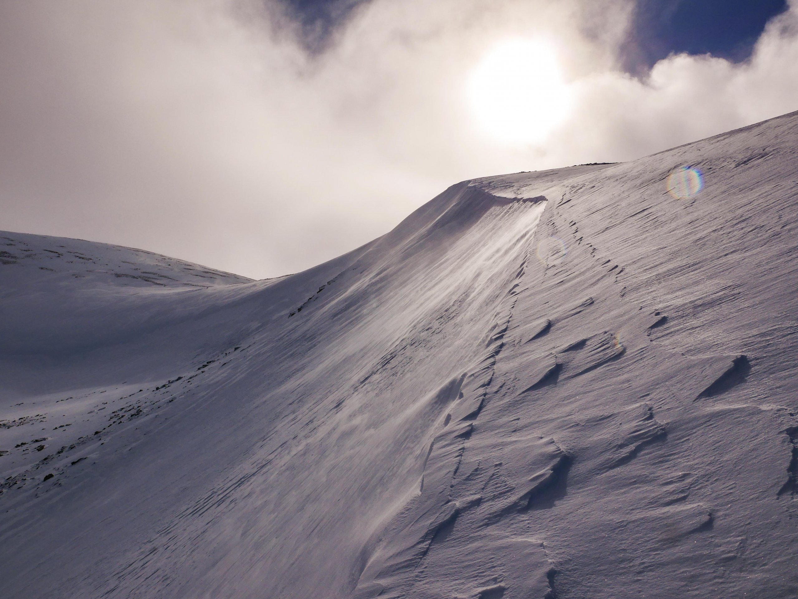
There is one constant in this variable picture,. The wind, which will be consistently gale force.
A period of instability is expected overnight, as rain turns to snow. This will most likely be short lived, with gradual consolidation of the snowpack as the freezing level drops afterwards. Moderately bonded windslab will continue to develop on North-West through North-East to East aspects above 900 metres. The full forecast for the Northern Cairngorms is permalinked here at: https://www.sais.gov.uk/northern-cairngorms/
Comments on this post
Got something to say? Leave a comment


