Inversion conditions continued
22nd December 2021
A bonus ‘inversion’ day before conditions change.
An inversion happens when the temperature increases with height. This often happens in areas of high pressure, where the air high up often sinks towards the ground, as it falls, it dries out and warms up. This warm layer of air can act as a lid and trap cooler air near the surface.
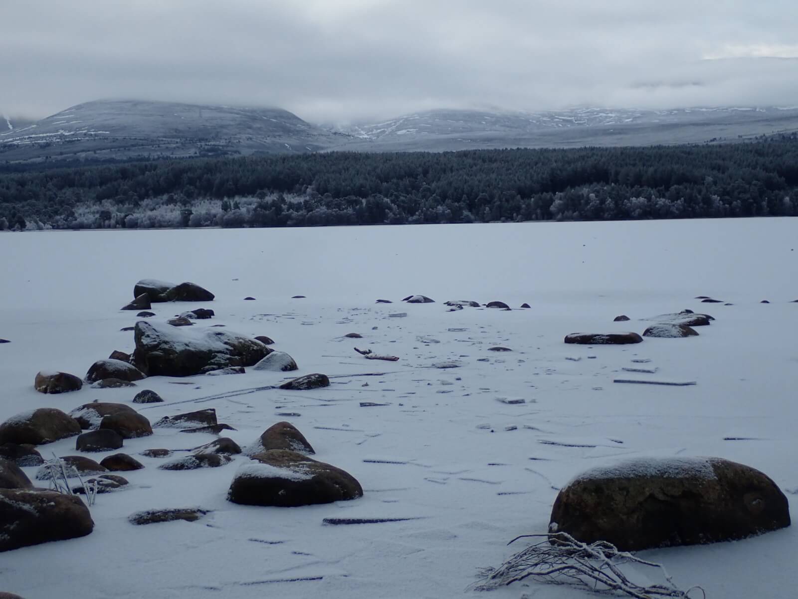
A frozen Loch Morlich with the Northern Corries of Cairngorm behind, showing the spartan snow cover and ‘frosting’ below the temperature inversion cloud.
Looking down Coire Cas from approx 850m altitude. Note the very defined line of the temperature change on the side of Windy Ridge, it was almost as though someone had drawn a line across the hillside! The temperature in the carpark was -2 degrees, at 1000m I measured +6 degrees! Underfoot high up, the ground is still frozen solid, but very dry. Below approx 700m today, significant hoar frost had developed and non snow covered ground was very slippy indeed.

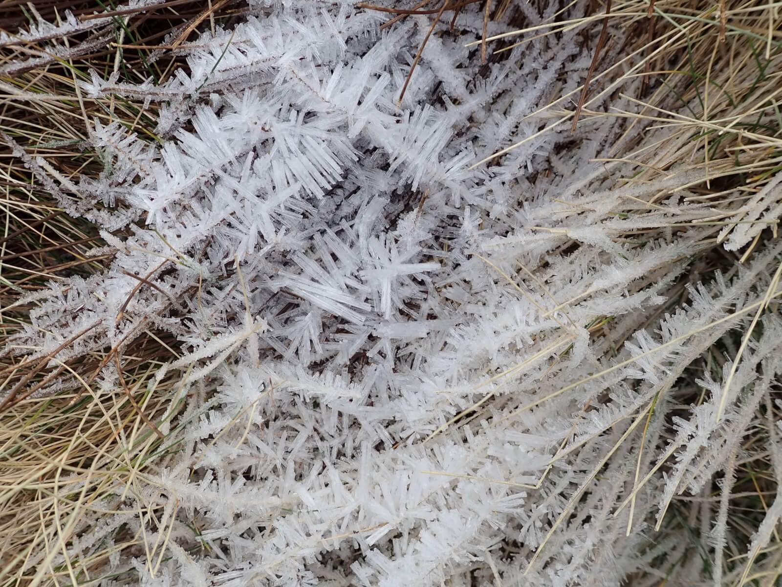
Some of the amazing hoar frost formations. Photo taken around 700m.
A view into Coire an’t Sneachda. Lean conditions with VERY SERIOUS RUNOUTS from the bullet hard snow patches.

Comments on this post
Got something to say? Leave a comment


