Patchy cover…
18th January 2022
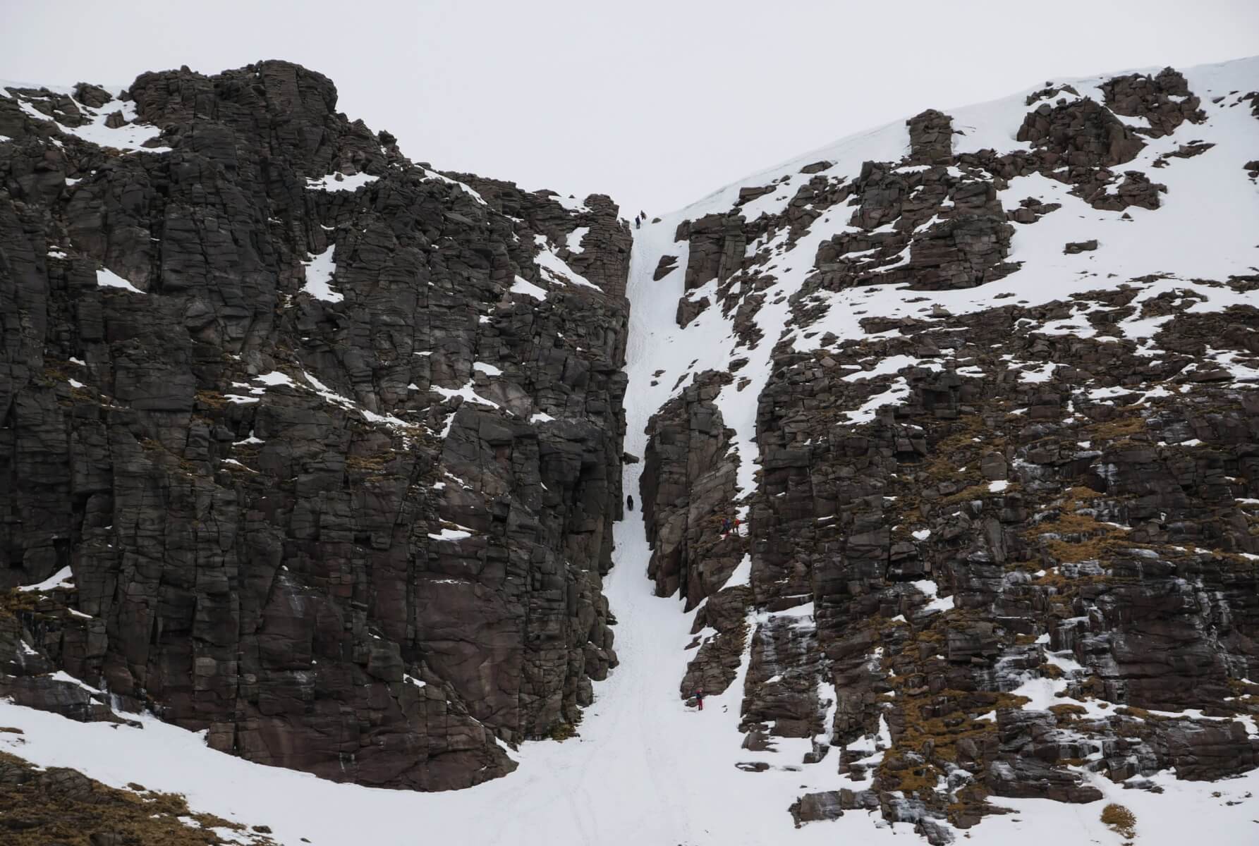
The slow thaw continued today with the snow pack continuing to gradually deplete in the north facing coires. Although the snow surface remains frozen above 950 metres the snow is continually sublimating directly into the atmosphere, albeit slowly. Compare the images here and in this blog from the 16th January.
Strong South-South-Westerly winds probably accelerated this today, evidenced by a few sorry looking old snow holes in the moraines of Coire an t-Sneachda.
Snow overnight and through tomorrow will result in a largely cosmetic covering and a return to winter, superficially at least. Although snow amounts are expected to be small, isolated and avoidable accumulations of windslab will develop. These will contain instabilities only where they achieve depth on North-East, East and South-East aspects.

Jacob’s Ladder in Coire an t-Sneachda. Compare with the image from the 16th January to see the slow depletion of the snowpack in steep locations.

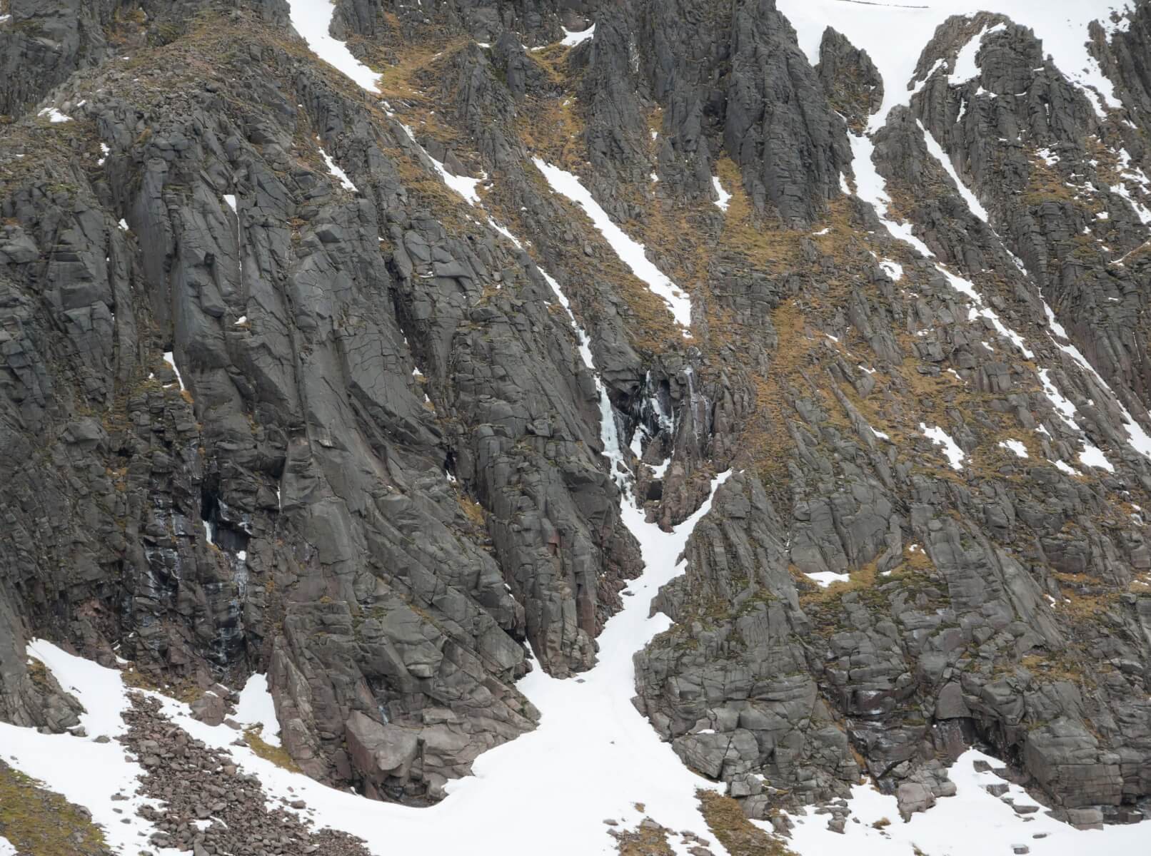
Some ice hanging on in there on Alladdin’s Buttress, Coire an t-Sneachda. Most likely, hollow and detached (note the old horizontal cracks).

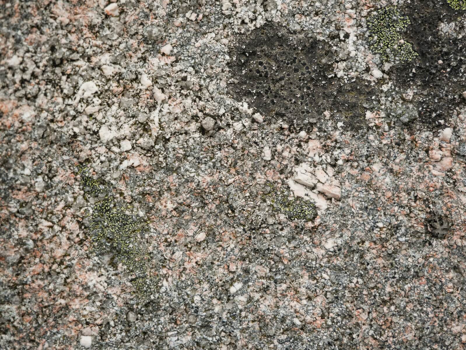
Some Cairngorm granite, displaying porphyritic texture. Hopefully to be obscured with a dusting of snow tomorrow.
Comments on this post
Got something to say? Leave a comment


