Weather Bomb
1st January 2022
Happy New Year from the Northern Cairngorms SAIS team. With a deep low pressure system just to the North West of Scotland it looks like we are in for an unsettled start to the New Year. That didn’t seem to put off some brave souls going for a swim in Loch Morlich this morning at dawn!
However, it does look like there may be some colder weather in prospect for the coming days, before a return to more seasonally average temperatures for January. Until then the gale to storm force winds will continue over the Northern Cairngorms.
The maximum gust in the period 1300 31st December 2021 to 1200 1st January 2022 was recorded as 94 mph on Cairngorm.
Incidentally, Cairn Gorm in particular holds the records for some of the strongest winds recorded on land in the UK. Two notable figures are those of the strongest ever gust of 173 mph (150.3 knots) on the 20 March 1986. And the hourly mean wind speed of 115 mph (100 knots) on the 8th December 2011.
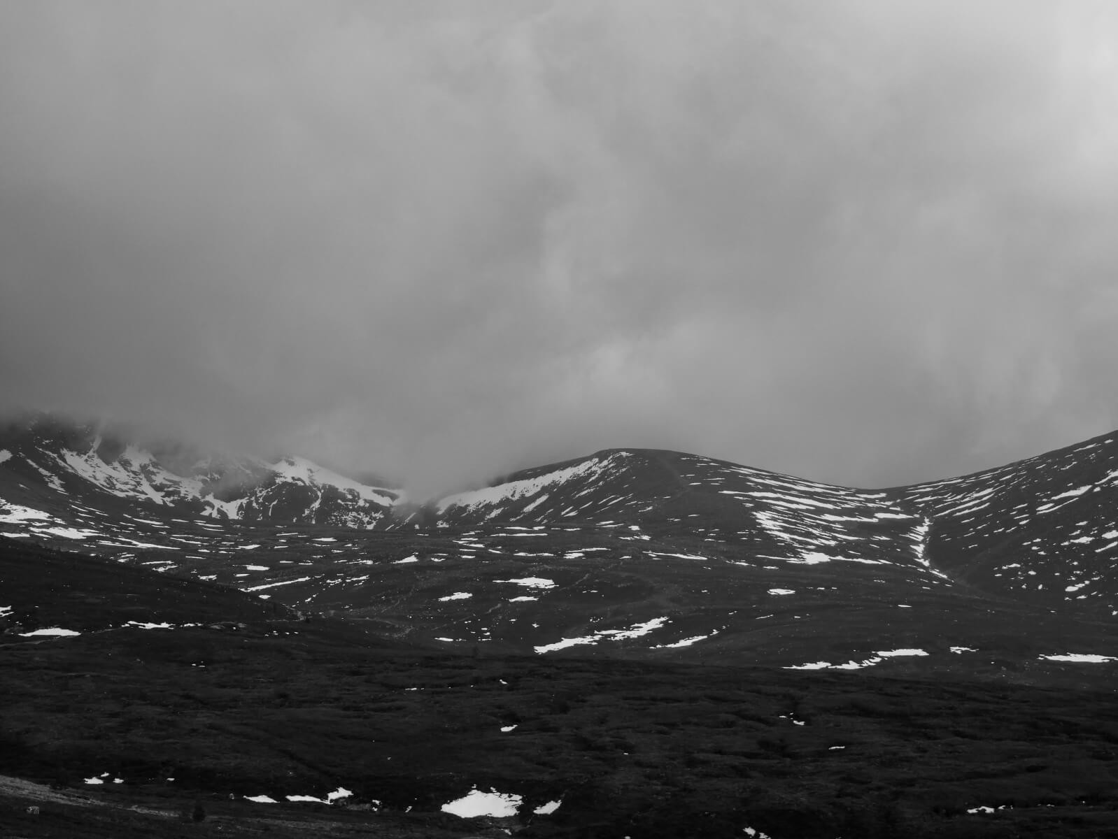
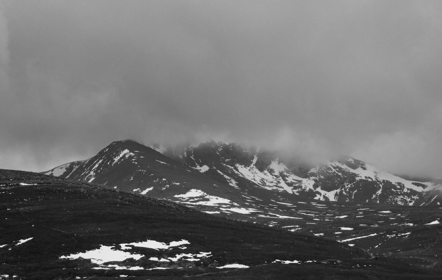
Little change is expected with a slow and gentle thaw at lower elevations, below about 1000 metres. There is no defined snow line at the moment, with patches above about 600 metres. These patches are often in sheltered locations along linear features such as burn lines, shallow gullies and snow fences.
Higher in the mountains the greatest snow cover is in north facing coires, particularly coire rims and scarp slopes of a North-West to North-East aspect. Above 1000 metres the snow pack is likely to firm up tomorrow as the freezing level fluctuates around 1200 metres, with some light snow showers on the highest summits.
This might have implications for travel on foot with firm snow in steeper locations. #ThinkWinter and do think about your equipment. Crampons and an axe will be essential kit for the New Year.

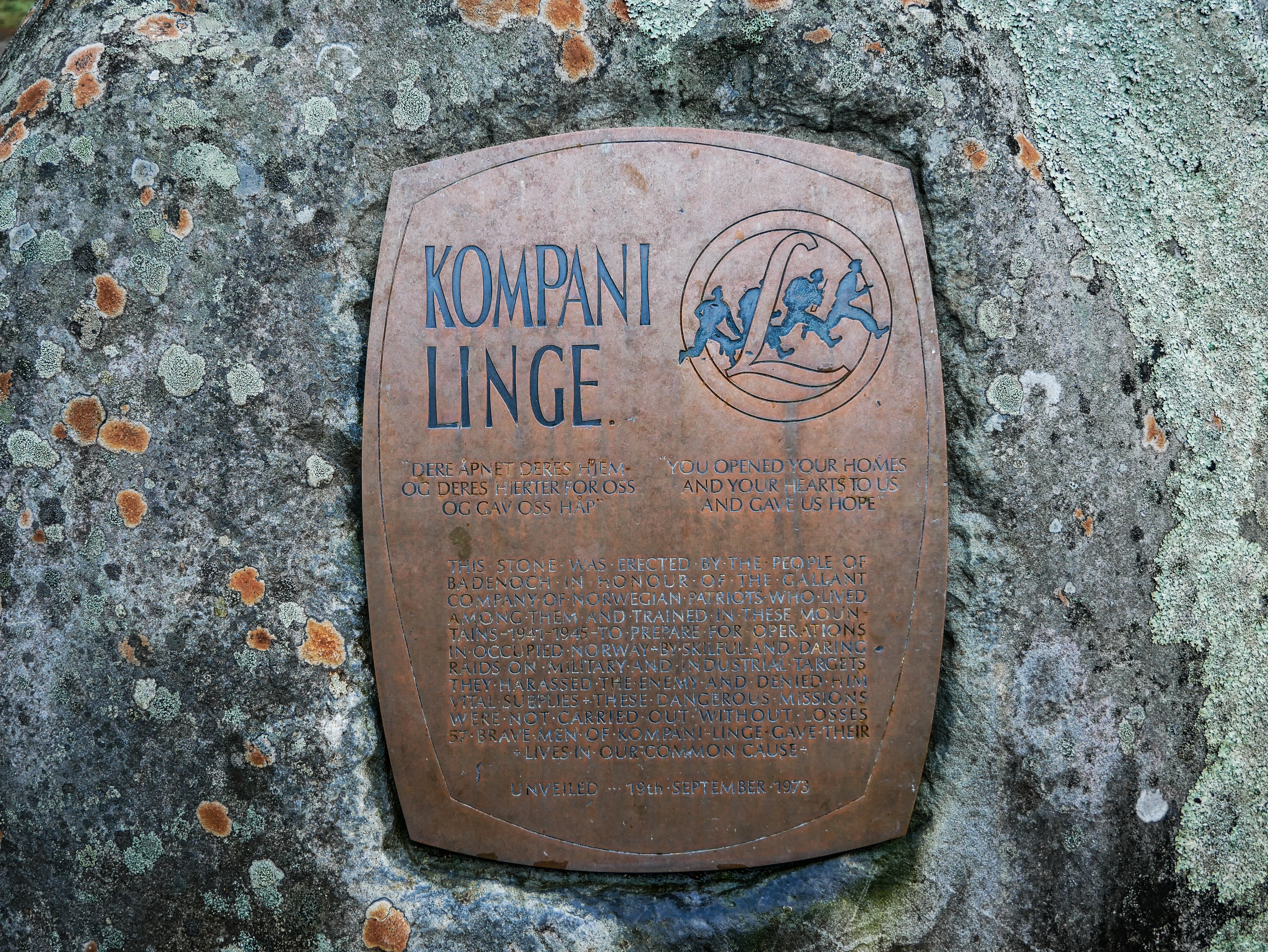
Arguably a day to be at glen level. So thought I would share an image of the Kompani Linge Memorial in Glenmore. The Lingekompaniet was originally formed after the death of Martin Linge during Operation Archery in the Lofoten Islands, and continued to train in the Cairngorms. The SOE unit was tasked with performing commando raids during the occupation of Norway including Operations Claymore, Grouse, Gunnerside not to mention Operation Martin…
Comments on this post
Got something to say? Leave a comment


