Stormy Day
27th December 2022
When driving through Glenmore this morning Loch Morlich was very still producing a nice reflection of the hills visible behind. However, the watery sky suggested this was not going to last long. Through the morning the visibility dropped as the wind got up and intermittent snow started to fall. By midday it was feeling quite wild at higher levels. Large quantities of snow were being transported at ground level. It was hard to tell how much of this was fresh snow, and how much was the re-distribution of yesterday’s snow. This snow was being deposited in sheltered northerly aspects as unstable windslab. By afternoon it had started to clear up again. Looking a bit milder tomorrow.
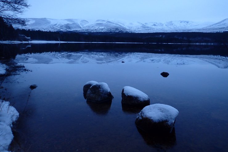
The calm before the storm. Loch Morlich was looking very tranquil this morning.
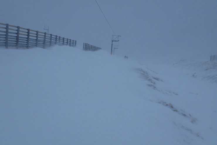
By mid morning the wind had risen and intermittent snow had started to fall.
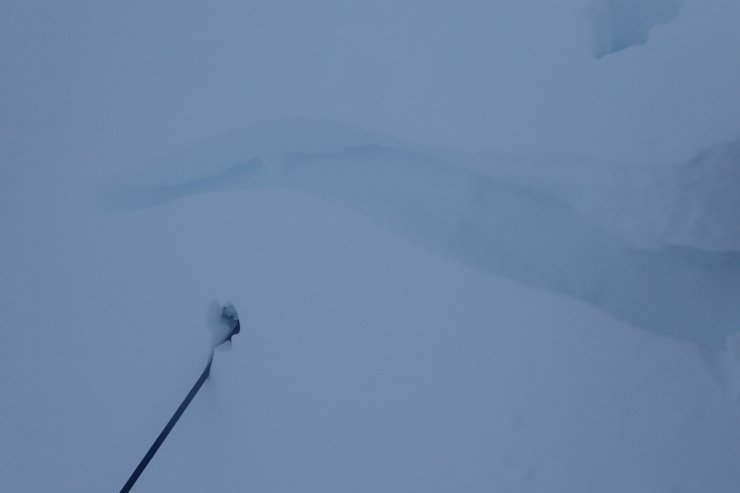
Fresh windslab was not very stable. A significant crack shot out from my foot in a drift. Ski pole (in the process of being blown over) for scale.
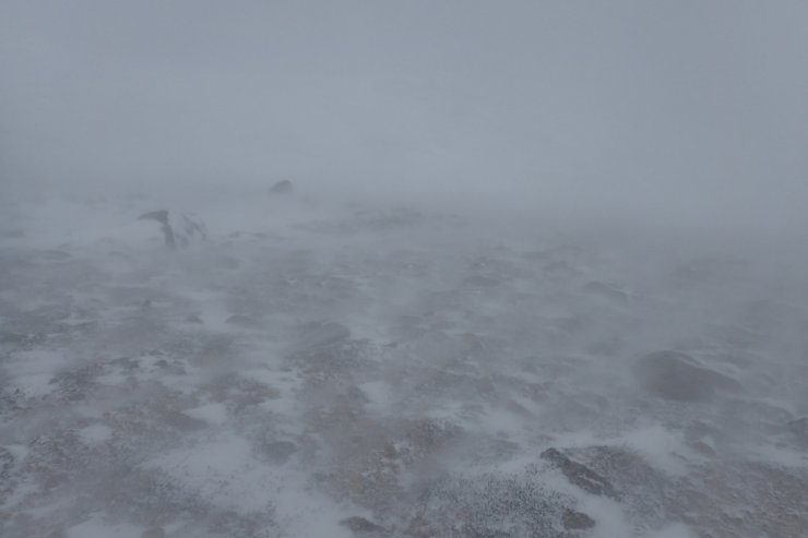
Lots of snow being blown along the ground at midday. It was hard to tell how much it was actually snowing at this point.
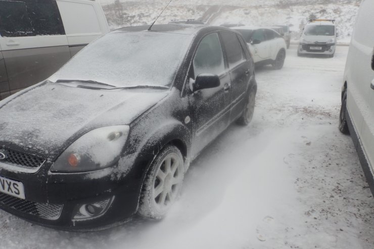
Back down at the ski area carpark was easier to judge the amount of fresh snow. Despite many of the cars having a festive frosting the amount of fresh snow was relatively limited.
Comments on this post
Got something to say? Leave a comment


