Drifting Snow
2nd January 2023
A dry and cold day on the hill today, with a penetrating moderate to fresh wind from the West-South-West. The visibility was excellent for the most part, with just some banks of cloud on windward up slopes.
The blanket of soft snow remains in sheltered locations such as on the coire floors, making for pleasant progress on ski and hard graft on foot. During the day some of this soft snow was redistributed creating windslab deposits in steep wind sheltered locations. Avalanche debris was observed from size one avalanches in Coire an Lochain, originating from either fragile cornices or additional loading close to the coire rim.
It is all change for tomorrow with increasing southerly winds expected to redistribute much of the soft snow and deposit new windslab on steep wind sheltered northerly aspects. Given the strength of the winds overnight and in the morning, soft snow is likely to drift as low as 600 metres and localised unstable windslab will be present on some steep banks and convexities.
Due to the passage of a front, the temperature will rise resulting in a slow thaw, and an associated period of instability when avalanches will be likely on North-West to North-East aspects above 900 metres.
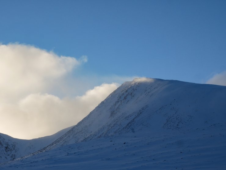
Drifting snow from the Fiacaill Ridge of Coire an t-Sneachda.
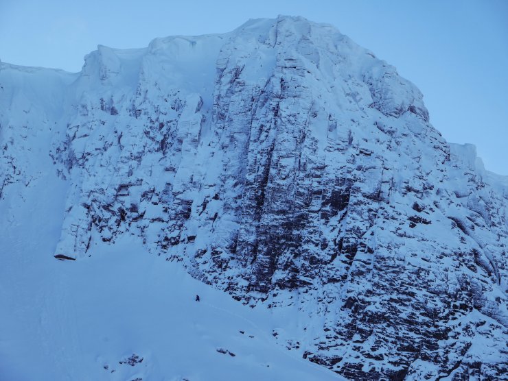
The crags of Coire an Lochain look suitable white, with just one soloist checking them out today. The three obvious lines in the centre of the image are (from left to right) – Savage Slit, V,6, Fall Out Corner VI,7 and Procrastination VI,6. The latter is one of the Forecasters’ nemesis, having resulted in a 60 foot fall to the snow below. It can’t be recommended.
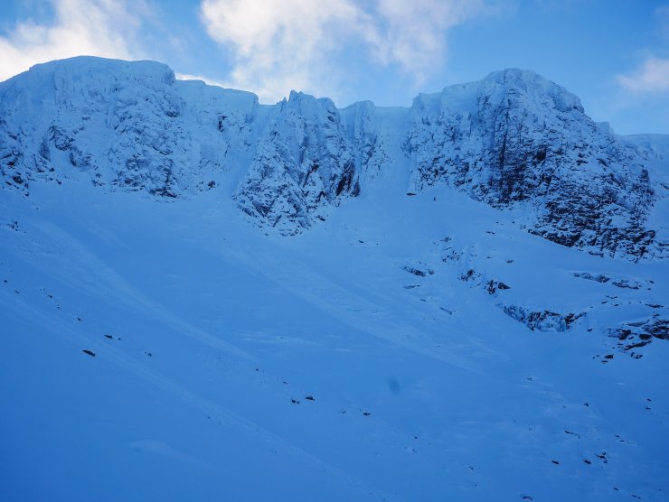
Coire an Lochain with numerous small surface avalanches which most likely took place overnight or this morning. There was also evidence of previous avalanches potentially running from ‘The Couloir’ and ‘Y Gully’ with old crown walls visible on open slopes on the crag apron.
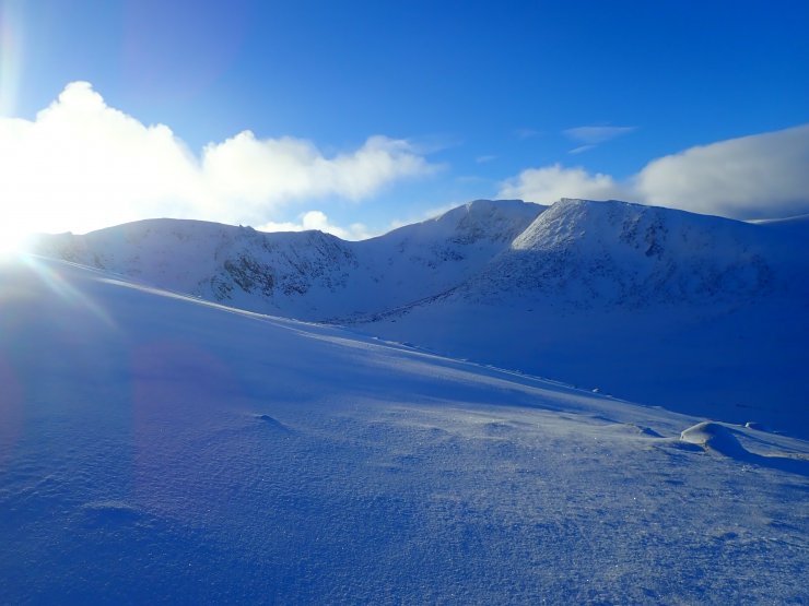
Looking into Coire an t-Sneachda. The soft covering of fresh snow can be seen in the foreground, along with wind blown snow catching the sun around the coire rim. This is a tell tale sign of windslab development in steep wind sheltered locations.
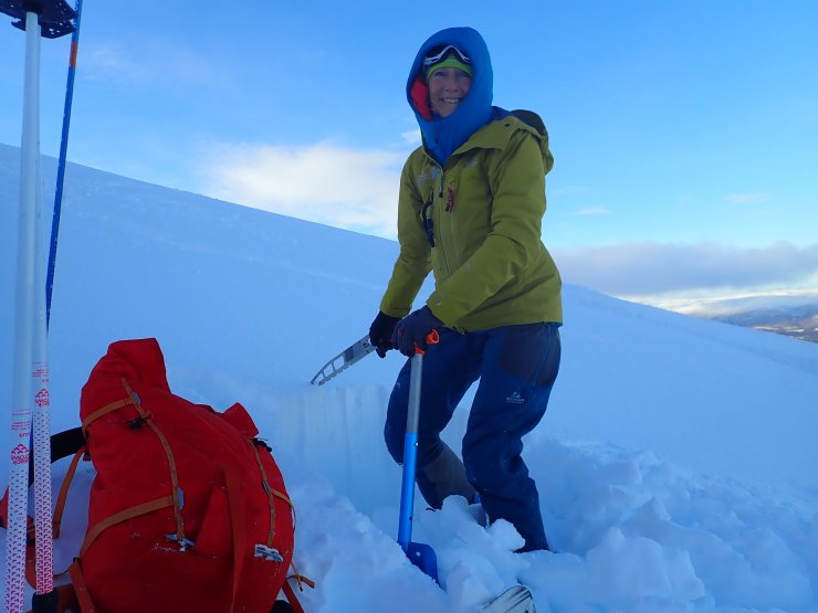
A happy Senior Forecaster at work!
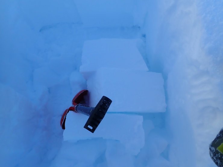
The windslab in our snow profile location was fairly cohesive, but interestingly you only needed to drop a block to see these clean shears.
Comments on this post
Got something to say? Leave a comment


