A slowly consolidating trend…
16th March 2023
Rain at all levels today is slowly stabilising the snowpack in many areas, and there has been steady snow loss below 900 metres. Despite this weaknesses still exist in moist windslab, particularly on North-West through North to East aspects above 900 metres.
These weaknesses are likely to slowly diminish over time, but the snowpack will not consolidate properly until the return of colder temperatures. As such, steep and convex terrain on the above aspects will still harbour near surface instabilities.
Avalanche debris was noted today on a North aspect at around 1200 metres as visibility improved in the afternoon.
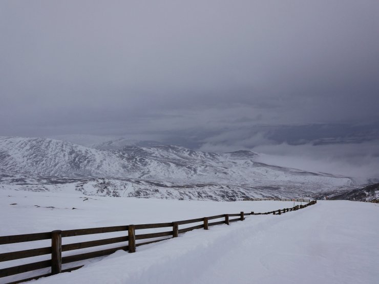
Extensive snow loss below 900 metres. Remaining good up high, particularly on the pistes seen here near the Ptarmigan.
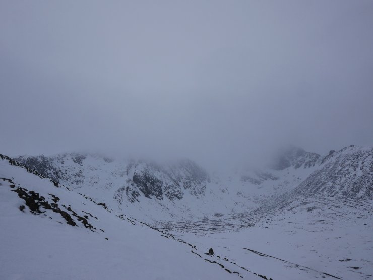
A fleeting view into Coire an t-Sneachda. Visibility was poor today but some surface activity was noticed from a distance, potentially cornice debris or large roller balls indicating a wet snow surface.
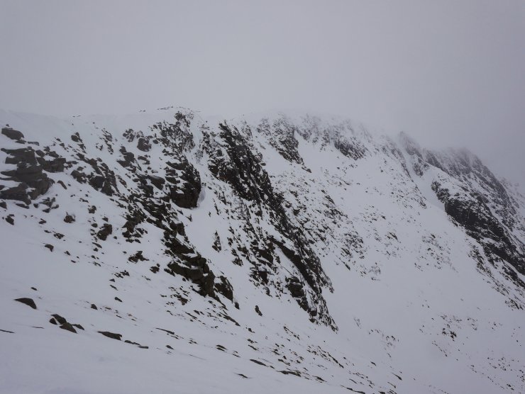
Spot the climbers, in this case WMCI Trainees, accessing some mixed climbs by abseil, hence avoiding the crag aprons below.
Comments on this post
Got something to say? Leave a comment


