Whiteout again
14th March 2023
The first half of the day was characterised by whiteout conditions again above 600 metres. Given the fresh snow cover, exposed boulders are few and far between giving little definition. The snow fences were a welcome sight giving some perspective as well as a proxy for the wind direction overnight.
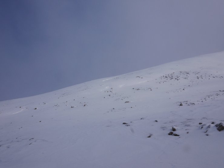
Wind speeds were relatively light during the day, but there was plenty of evidence of snow transport in the wind, as seen in some of the images below. Given the variable winds snow has been slowly redistributed, and this will continue tomorrow. Local wind effects mean that there are some windslab accumulations on all aspects above 800 metres, with the bulk on East through South-East to South-West today.
The situation will gradually change over the next 24 hour forecast period with the greatest accumulations on North-East to South-East aspects above 800 metres. By the end of the day windslab accumulations will become more widespread and include North and North-West aspects as the wind changes.
The windslab varies between harder denser slab which is slightly stubborn in demonstrating weaknesses, while soft windslab is more obviously weak above 800 metres. Weaknesses are more evident where the slab is thinner or shallower, particularly in steep wind sheltered locations and convexities.
Good route choice will be important again tomorrow in poor visibility, especially as the hazard will change as the day progresses.
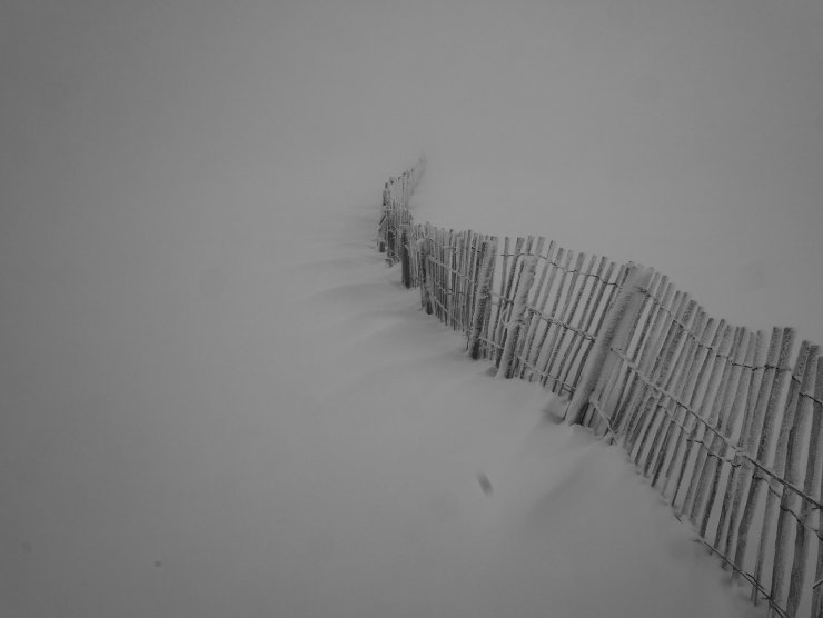
The visibility was poor again, until late in the day. But small features are still useful to indicate the wind direction. Here this wisps of fresh snow deposited in the lee of the snow fence are orientated indicating a North-North-Westerly wind.

Windslab deposits from the last 24 hours or so exhibited instability in many locations today. Notably, these are greater above 800 metres, and in areas where the windslab is thinner, or in steep terrain (seen here easily cracking between the skis).

The wind has been of variable direction in the last 24 hours. Again indicated here by erosion of the snow in the direction of my skis (i.e. wind from the North in this case). You might also be able to see a little bit or rime on the leading edge.
The west side of the Fiacaill a’Choire Chais with some small depositional features indicative of cross loading.

Alladdin’s Buttress Coire an t-Sneachda photographed during a transient break in the cloud.
Comments on this post
Got something to say? Leave a comment


