Avalanche day
20th January 2024
A few snow flurries which fell as light drizzle below 900 metres. The freezing level rose to around 1000 metres by midday. Although recent windslab accumulations feel quite dense, snowpack weaknesses remain at depth. The avalanche in the photo’s below was triggered by 3 people crossing a NE aspect at 1100 metres this morning. They were carried down the slope and fortunately managed to avoid being buried or injured from the boulder field beneath.
Although the temperatures are fluctuating over the next 24 hours with further snowfall during the night, snowpack weaknesses will persist at depth on several aspects. Check the most recent avalanche forecast for more details.
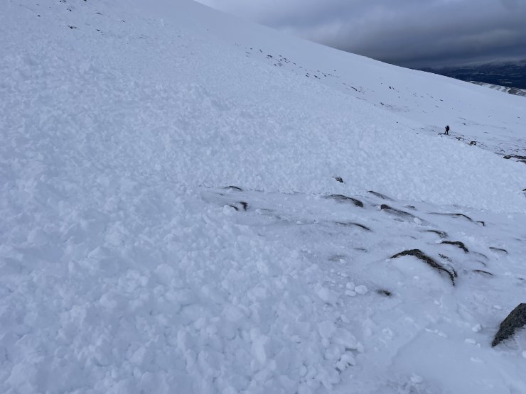
The avalanche debris on the East side of the Fiacaill Cas ridge. See person in the distance for scale.
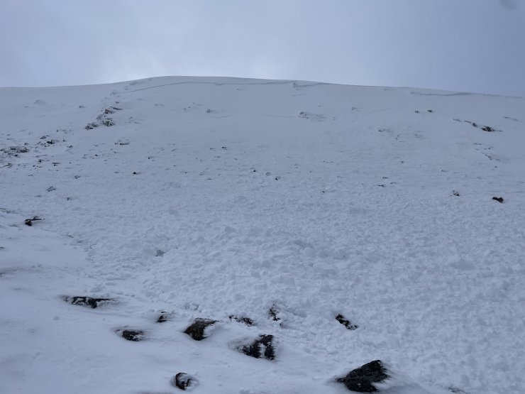
Looking up towards the crown wall which ran just below the cas ridge. The avalanche was triggered as they crossed the middle of the slope.
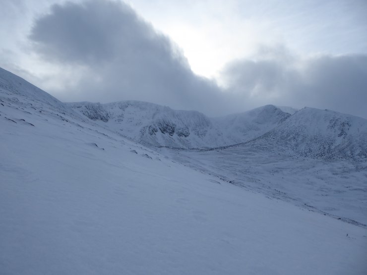
Views into Coire an t-Sneachda. Due to very gusty winds sitting down to take the photo was a safer option as one could easily be blown over during the stronger gusts.
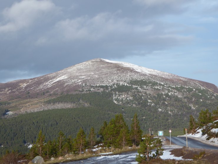
A mellower scene looking towards Meall a Bhuachaille.
Comments on this post
Got something to say? Leave a comment


