Breakable crust
4th January 2024
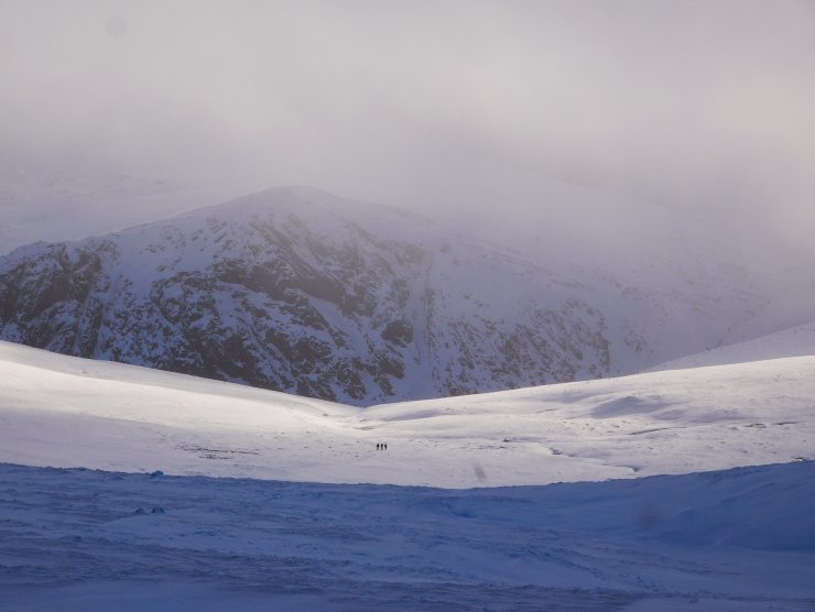
There was a windy start to the day with variable visibility. Good bright spells on the northern slopes but with extensive cloud capping the plateau, a common situation in southerly winds.
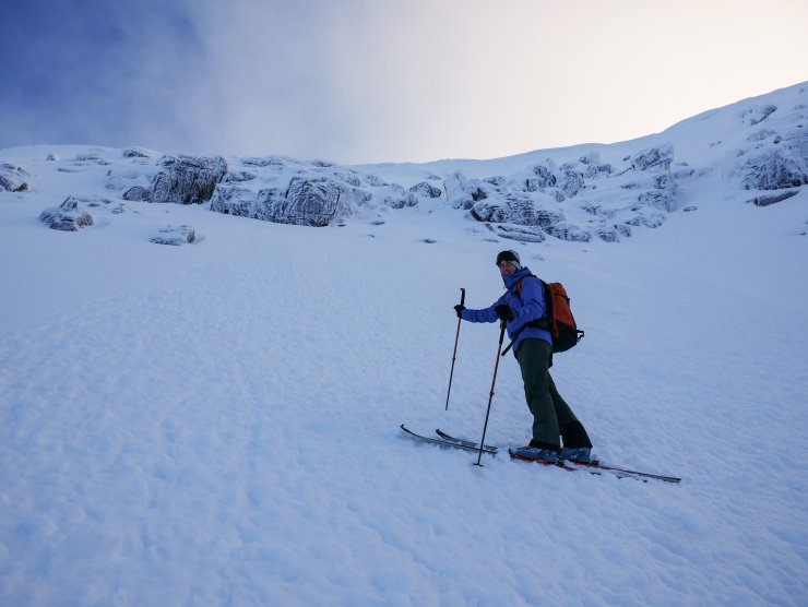
The freezing level was around 1000 metres, but there was evidence of roller balls and surface instabilities that occurred in warmer conditions late yesterday. The snow surface is again characterised by a widespread friable crust, which is more easily skied than first impressions might suggest.
Despite this transient warming the snowpack is only consolidating slowly, and remains cold at depth. Colder temperatures are likely to preserve any weaknesses in the older windslab deposits. These are present in steep coire rims of a generally northerly aspect. Snow showers tomorrow will most likely create some small and shallow windslab accumulations that are not expected to be significant. The avalanche hazard will be Moderate.
At lower elevations the surface of the snow is hard, and paths are icy, making for consequential travel.

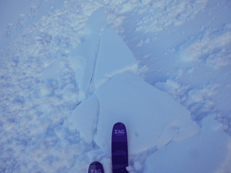
An isolated and small windslab avalanche on a North-West aspect at around 1100 metres. Just a couple of ski lengths and running out for around 15 to 20 metres. Most likely from the last 24 hours or so.

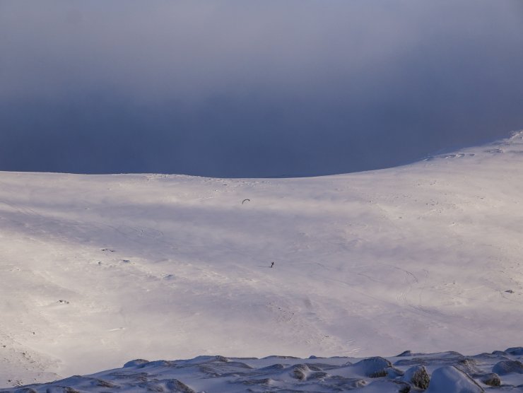
A lone skier making rapid progress by kite. The plateau provides good cover at the moment, so arguably an ideal method of travel!
Wind – Part II. Following the blog on the 30th December, I thought it might be worth continuing the musings on the wind as promised.
Progress up hill was quite difficult this morning due to the southerly winds accelerating down slope from the Cairngorm plateau. A local phenomenon that regular visits to the blog will be all too familiar with. The obvious question is how windy does it have to be before I am blown over…?
An interesting reference is this US Army document on Rotorwash Operational Footprint Modelling. The military have deep pockets for this sort of research and this provides a number of references (civilian and military) with regard to the effect of windspeed on people.
“Reviews of pedestrian wind acceptability criteria from 1975 through to the late 1980’s. Isymumov and Davenport (1975) indicate a mean wind speed of >34 mph is “dangerous”. Lawson and Penwardem (1975) state a mean wind speed above 13.85 m/s (31 mph) or a peak > 23.7 m/s (53 mph) is “unacceptable”. Melbourne (1978) states a peak > 23.0 m/s (51.4 mph) is “unacceptable”.”
They may well have been describing an average day on the Cairngorm plateau! The US helicopter study above describes a caution zone of 33.6-44.7 mph and a hazard zone of >44.7 mph.
Interestingly glass damage was also cited as potentially occurring at 17 mph. This figure might seem quite alarming, and may yet be confirmed by one of the SAIS Forecasters who returned to their car many years ago only to find the windows blown out and it filled with snow…
Comments on this post
Got something to say? Leave a comment


Hugh Spencer
4th January 2024 5:12 pm
Thanks for this on the wind. As a yardstick I would seldom go high on a hill in the winter if the mean windspeed is forecast to be more than 25mph or maybe 30. Much less of course if new powdery snow on the ground.
Wind blown gravel picked up by a gust in the Glenshee car park once shattered my windscreen.
ncairngormsadmin
4th January 2024 8:20 pm
Thanks Hugh, I am sure that many of us overestimate the windspeed that we can cope with. The wind blown gravel situation has already meant that I have put my goggles closer to the top of my rucksack for the coming days!
Mike Wood
4th January 2024 7:43 pm
Ditto re windscreen damage at Coire Cas car park! A mini tornado?
Andrew Paul
4th January 2024 8:15 pm
Thanks for the work in general & the blogs but also the little extra on wind made for an interesting read.