Blizzard Conditions
9th February 2024
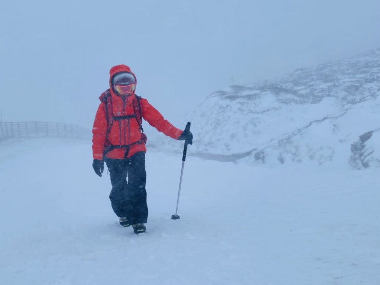
Blizzard conditions and powerful gusts kept observations to lower elevations today, but this gave plenty of evidence of fresh drifting snow and the instabilities where this overlies the old firm snow.
Much of the area was being scoured by the winds, with the new snow accumulating in wind sheltered locations. Often with South-Easterly winds, more snow can be deposited at mid elevations than higher up the mountain.
These fresh accumulations of windslab are lying on top of a layer of softer snow, creating significant weaknesses.
The images below were taken during the morning and the snowfall continued throughout the day so the accumulations will continue to gain depth. The blizzard conditions will persist for the moment with continuous snowfall expected overnight and into tomorrow.
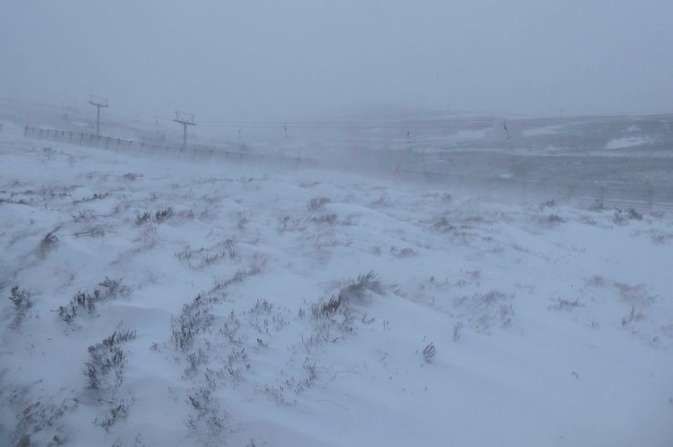
Isolated accumulations were being deposited in wind sheltered locations, seen here on a small scale at lower elevations behind the tufts of heather, with the wind blowing from left to right.
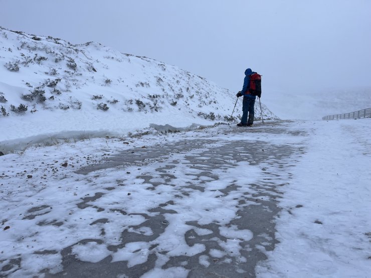
Places that are wind scoured remain firm, including many of the paths which have patches of ice, most are avoidable – as long as you can see them.
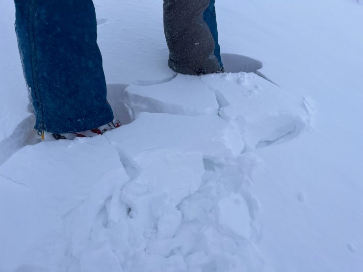
Instabilities are present both below and within the fresh windslab, highlighted here by the cracking around the feet.
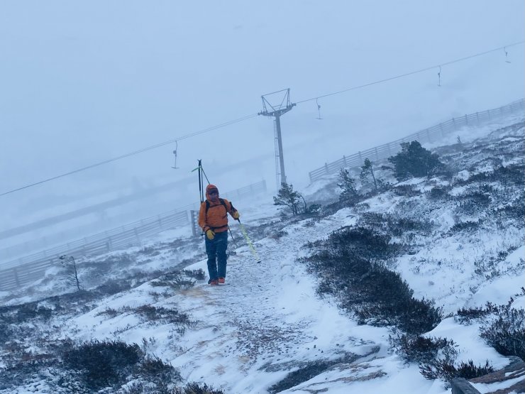
A lone skier making a quick exit from the gale force winds. There were more people in the cafe than on the hill today, which seemed like a good place to retreat to.
Comments on this post
Got something to say? Leave a comment


Guy Bromby
9th February 2024 8:21 pm
Wind/ snow picked up evening 8th seen East of Glen Feshie. Abandoned night at 1000m. Interesting comments made by forecaster. Appreciated