Slow snow liquefaction continues…
17th February 2024
The slow liquefaction of the snowpack continues in the Northern Cairngorms. The snow cover is becoming increasingly depleted in many locations with light rain and positive temperatures at all elevations.
The greatest cover is confined to the north facing high coires, and even then generally only in gully lines and the highest crag aprons. The freezing level did fluctuate around the summits overnight and early in the morning, resulting in a firm snow surface, although this quickly softened.
There remains the possibility of colder conditions in the days to come, and it is worth forwarding to the end of the Met Office Deep Dive forecast which is included at the end.
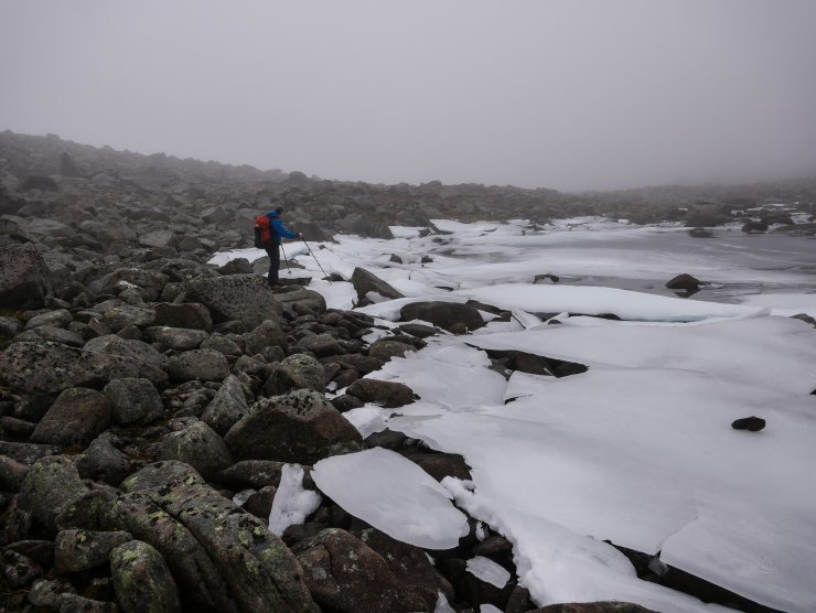
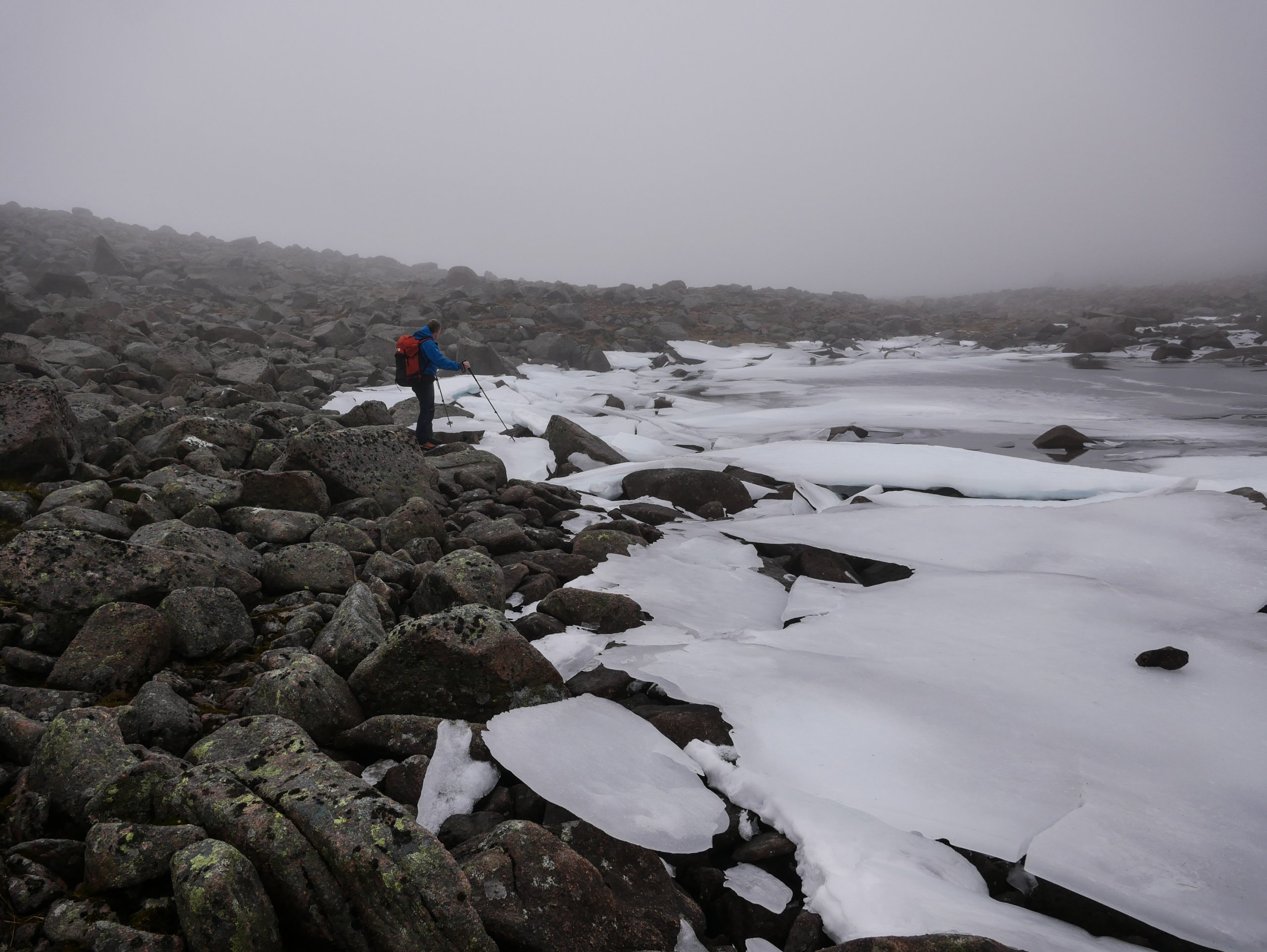
Broken sheets of ice from the lochans in Coire an t-Sneacha. These have been left in an elevated position perched on the boulders. Sadly, they are not immune from the slow thaw and are creating puddles in the boulders below.
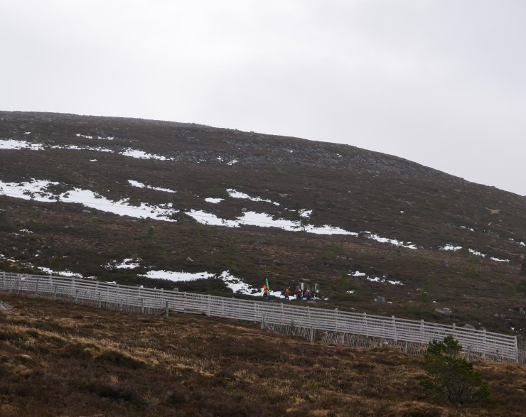
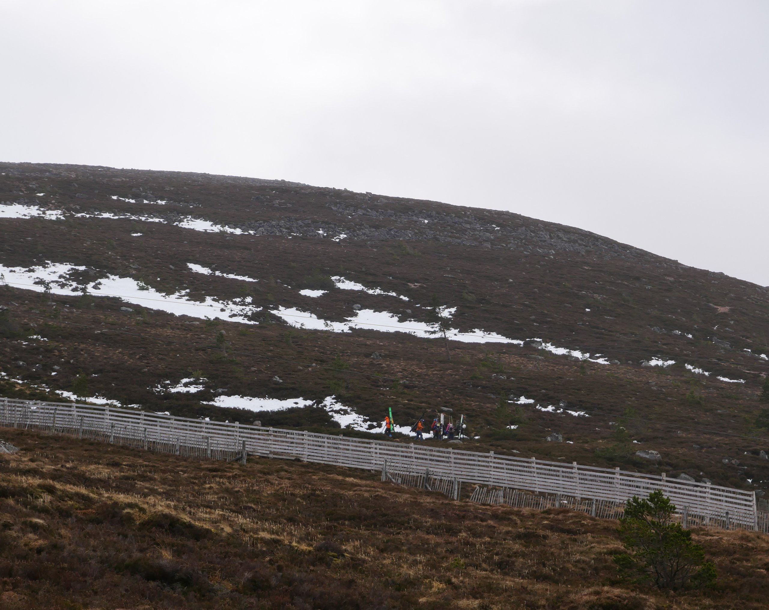
Skiers carrying skis up the line of the Day Lodge Poma. There appears to be snow from around 750 metres alongside the snow fences here, allowing access to higher elevations.
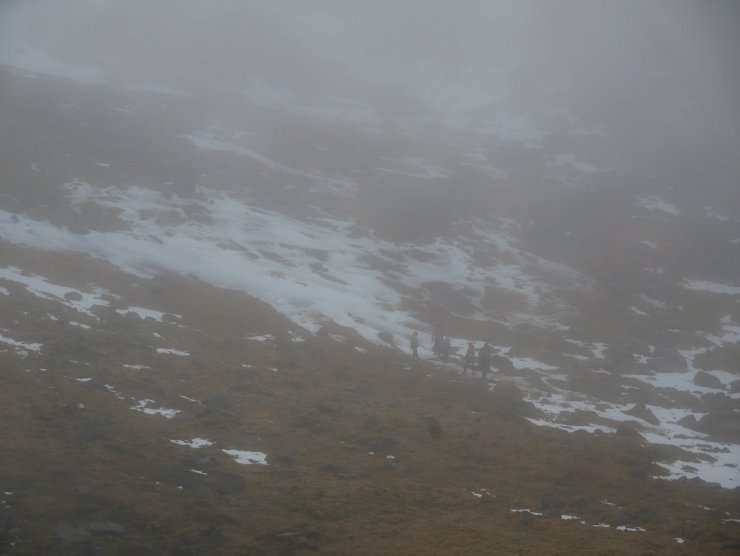
A winter skills party practicing the use of crampons on what is locally referred to as ‘The Flat Ice’. I have never really understood this, as it is anything but flat and guaranteed to demonstrate the flaws in anything other than perfect crampon technique.
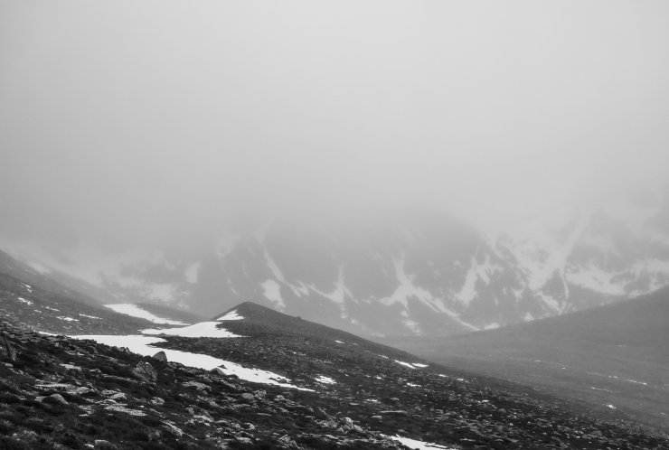
A black and white image following yesterdays request. Looking along the moraines into the base of Coire an t-Sneachda. Although snow cover is poor most of the gully lines appear complete. This did bring the additional problems today of lots of climbers being concentrated into the same areas, with rock and ice fall remaining a distinct possibility.
Comments on this post
Got something to say? Leave a comment




Jonathan Preston
17th February 2024 8:02 pm
Moraines or Pro Talus Ramparts ?
ncairngormsadmin
17th February 2024 9:17 pm
Appreciate this is a perennial argument Jonathan, but I am definitely in the moraine camp. Protalus Ramparts just don’t sit comfortably with me… Take it you have seen the University of Sheffield Britice Map? Interestingly has many features mapped including melt water channels, eskers and periglacial trim lines etc. https://shefuni.maps.arcgis.com/apps/webappviewer/index.html?id=fd78b03a74bb477c906c5d4e0ba9abaf
Just above these features (Moraines or Protalus Ramparts) there appears to have been some quartz digging? A local mountain guide and my forecasting colleagues remain unconvinced. Any thoughts?
Matt Dalby
17th February 2024 9:55 pm
What’s the difference between talus and moraines?
I thought talus was just the American name for a boulder field.
ncairngormsadmin
18th February 2024 10:42 am
Matt, A Protalus Rampart is formed when rockfall slides down a steep slope and stops on a perennial snow slope. It eventually forms a small rock ridge. Moraines would be associated with glacial retreat. From memory the work suggesting that glaciers were present in the Northern Cairngorms was done by Sugden in the 1970’s and was partially to do with measuring lichen growth. This was questioned later and with the suggestion that there was perennial snow instead. Perhaps a good subject for the blog on an otherwise snow free day…
Many of the papers still require academic access but there are a few articles in the Scottish Mountaineering Club (SMC) Journals which have been digitised. e.g. RAPSON S. C., 1990. The age of the Cairngorm corrie moraines. Scottish Mountaineering Club Journal 34 (no. 181). Pages 457-463. https://simrich.ams3.digitaloceanspaces.com/SMCJ/Number%20181%20-%20Vol%2034%20-%201990%20Reduced.pdf
David Myatt
18th February 2024 2:22 pm
Thanks for linking to the Met Office deep dive. I’ve not seen that before and it’s really interesting.
I’m not sure, but I think talus and moraine are different. I understood talus is the American term for what we think of a scree, whereas moraines are glaciation debris. I guess they may not be mutually exclusive though?