Snow Transport…
27th February 2024
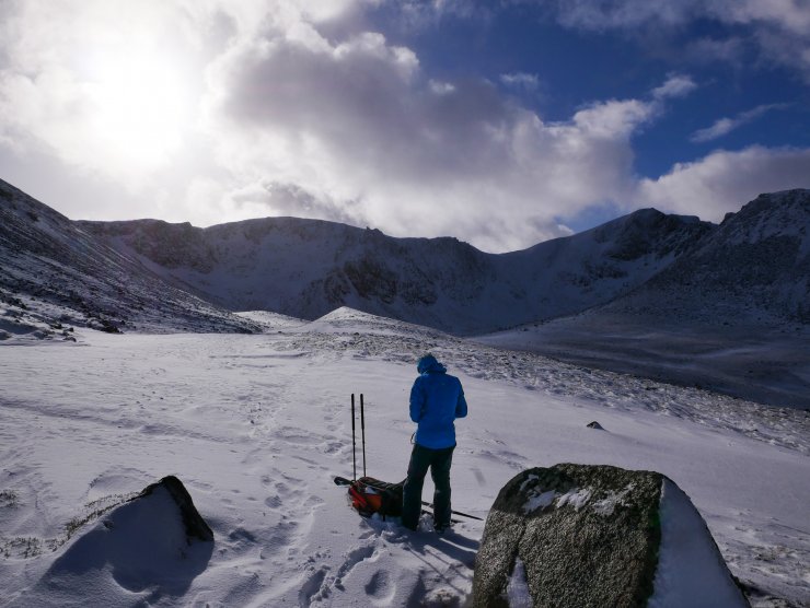
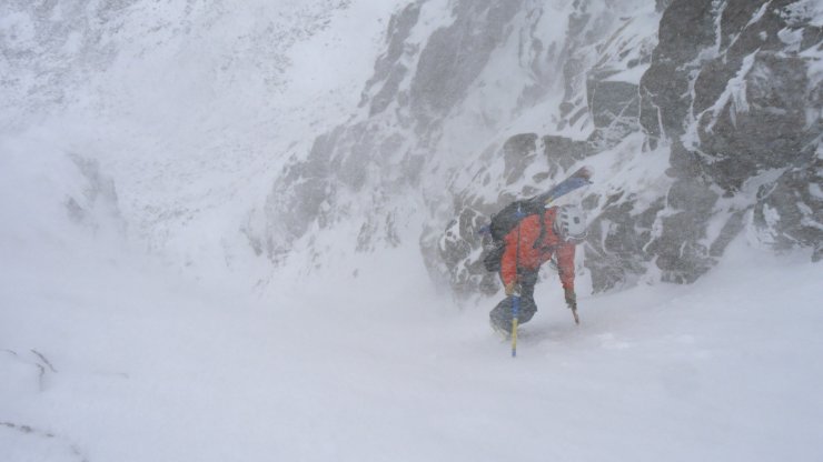
An interesting day in the Northern Cairngorms with very strong winds for the duration of the day. This resulted in a lot of snow transport above 1000 metres as the cold snow from plateau areas was redistributed. Some of this ended up on northerly aspects after which the winds became more south to south-westerly depositing new windslab on East facing slopes.
A transient warming in the later part of the night resulted in a thin crust below 1000 metres. Above this height this crust is very fragile, which does little to strengthen the snowpack. A low density layer below windslab consists of surface hoar which has been broken up in the high winds and deposited in wind sheltered areas.
This situation presents a weak layer that is likely to remain in the snowpack in the short term. This will require additional loading to trigger. As such, observations of natural avalanches will mostly absent, unless there are further accumulations of windslab, cornice collapse, or the presence of people.
There was one report of a human triggered avalanche on an East facing aspect at 1100 metres. The location of which in Ciste Mhearad can be viewed on the Avalanche Map https://www.sais.gov.uk/avalanche_map/
The avalanche hazard is Moderate for tomorrow.
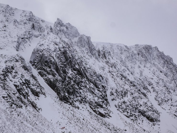
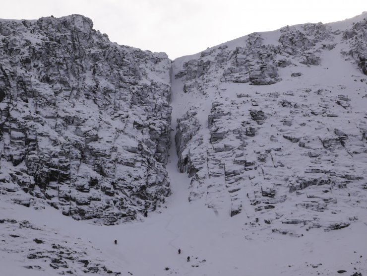
Alladdin’s Buttress, Coire an t-Sneachda. This was pretty much snow free a few days ago, and now has a superficially white appearance. The mixed routes on this buttress will be substantive at the grade!
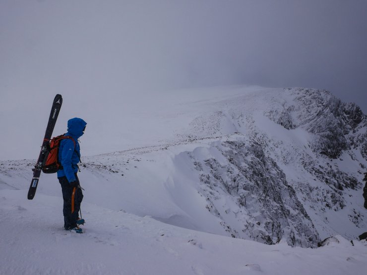
Looking around the coire rim towards the Fiacaill Buttress. Note the small cornice development, due to lateral south-westerly winds. As the winds change to Southerly tomorrow we can expect these cornices to build giving a more conventional look.
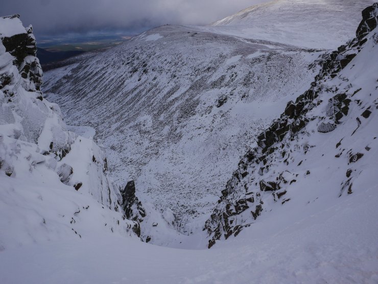
Looking down Alladdin’s couloir. The Northerly aspects in the foreground showed evidence of windslab accumulation while the Westerly aspects of Coire an t-Sneachda and Pt 1141 have been extensively scoured.
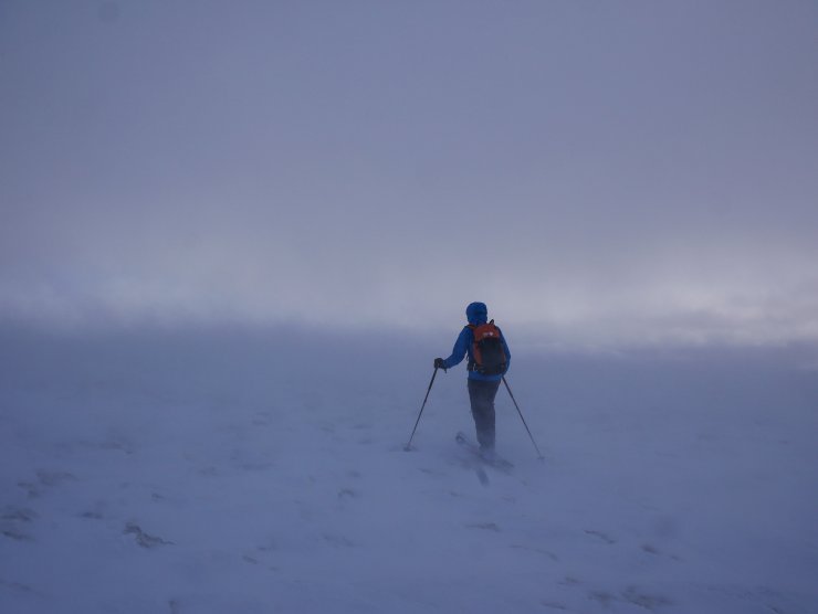
Lots of snow transport was evident today on the plateau. Note the bare ground in the foreground while snow can be seen blowing across the surface. This will be accumulating in steep wind sheltered locations.
Comments on this post
Got something to say? Leave a comment


Oliver Craig
28th February 2024 10:11 am
The Cairngorms being classed as sub- arctic are a wonderful place for walking. They remind me of areas I walked when in Norway.
ncairngormsadmin
28th February 2024 1:45 pm
Thanks Oliver, Definitely felt like sub-arctic tundra yesterday!