Interesting Freezing Levels…
6th March 2024
A day of poor visibility hampered observations unfortunately. Despite this, the windslab deposits of recent days are slowly consolidating and stability was observed to be favourable at most elevations.
You may have noticed the presence of the ‘Persistent Weak Layer’ icon used to flag up this avalanche problem. Although this weak layer was still evident deeper in the snowpack, it has slowly stabilised. Although you can find it in the interests of avalanche education, it is dormant and hopefully soon to dissipate as the temperatures drop in the coming days.
Although there is a trend of slow consolidation, lingering instability will exist in deeper windslab deposits in steep wind sheltered locations e.g. around the coire rims, gully tops and high crag aprons. Here the surface layers of the snow will have remained cold (or at least cold enough) to preserve any weaknesses.
Which brings me to the freezing levels for tomorrow… The forecast freezing level from our models tomorrow suggests a height of around 1245 metres, corresponding with the height of Cairn Gorm. This contradicts slightly with the air temperature figures which suggests the summit will stay below freezing for the duration of the period. Possibly due to cold air shrouding the cairngorms, with a warmer air mass overriding it?
The snow surface is expected to remain cold above 800 metres, i.e. sub zero degrees celsius. Extrapolating all this means that visibly at least, we can consider the freezing level to be around 1000 metres. [Caveats apply – this approximation is very much an applied avalanche forecaster figure are may not be supported by Meteorologists].

Remaining windslab from recent days, pictured here at just under 1000 metres in Coire Cas. Compare this image with others from the previous days in the blog.

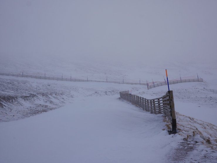
Cairngorm Mountain have benefitted from the southerly winds of late packing in some fresh snow to lower elevations in the ski area.

A view upslope today towards the traverse between Coire Cas and the Ptarmigan. Above in the Coronation Wall, the west facing slopes of Cairn Gorm.
Comments on this post
Got something to say? Leave a comment


