Another Misty and Murky Day
2nd April 2024
An Easterly or North-Easterly wind often causes thick cloud and poor visibility in the Northern Cairngorms. Today was no exception to this. At higher levels (above about 900 metres) there had been a fair amount of fresh snow. This was quite sticky and was consolidating quicky. However the quantity of snow was enough to push the hazard up into moderate. Fresh cornices were weak, some fresh cornice debris was noted. Looking like more of the same for tomorrow with Easterly winds, fresh snow and slightly colder temperatures than today.
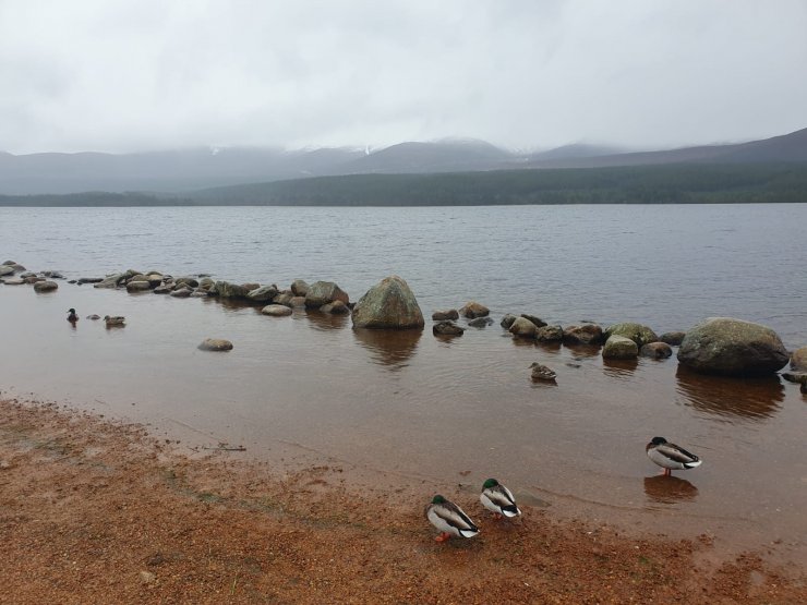
Loch Morlich this morning. Even the ducks looked unimpressed with the weather.
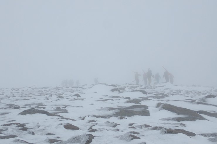
Despite the conditions there were a few teams spotted wandering about in the cloud.
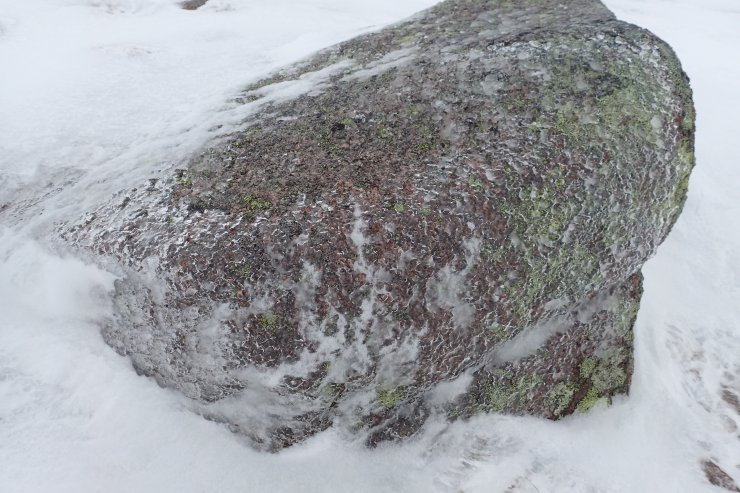
Icy rime on a rock which then melted away from the surface of the rock.
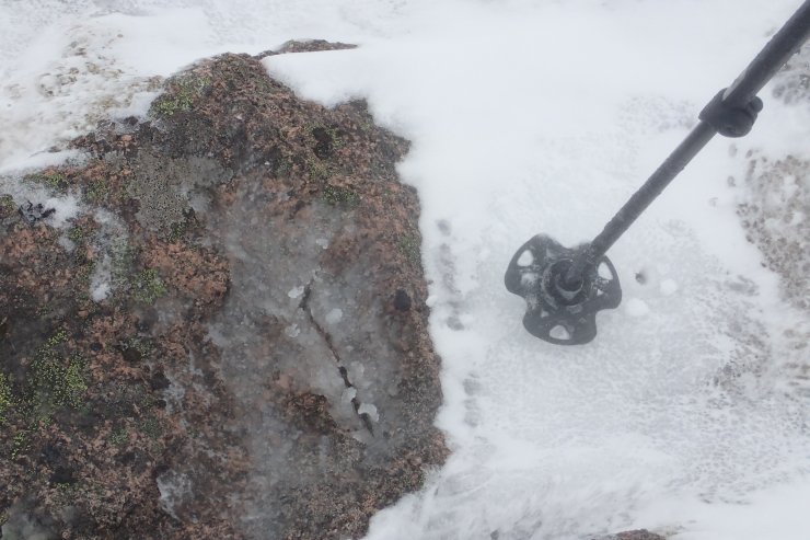
There was an interesting juxtaposition of the frozen and the not so frozen at 1100 metres. On the rock the there was some wet slush, and yet just beside it the snowpack remained hard and frozen. Despite the cloud it was very bright. My feeling is that with the air temperature very close to freezing, the dark rock (low albedo) had warmed up enough to melt the snow, while the whiter snow (higher albedo) was remaining cold.
Comments on this post
Got something to say? Leave a comment


Roger Taylor
4th April 2024 11:52 am
What is the meteorological reason for the thick cloud being created in E and NE winds – I would have thought winds from this direction would be fairly low in humidity
ncairngormsadmin
4th April 2024 5:14 pm
As cold polar air moves southwards over the warmer sea, the heating of the air by the sea causes clouds to form. These clouds may grow sufficiently for showers to develop and, so consequently, these winds from the north or north-east usually bring cold, showery weather.