Cryosphere making a come back?
19th December 2024
A cold day in the Northern Cairngorms with a bitter North-Westerly wind. Snow showers overnight resulted in a cosmetic dusting from the glens upwards. A welcome wintry feel.
Looking at the northern slopes the landscape looks devoid of snow, while the reciprocal view shows some isolated deposits of fresh snow on south facing slopes. New windslab will accumulate overnight on North-East to South-East aspects, where it is expected to be sensitive in the cold temperatures.
These instabilities should soon diminish as the temperature rises tomorrow, with just the highest summits (above 1200m) escaping the positive temperatures. Colder temperatures will resume in the afternoon resulting in a stabilising trend. The avalanche hazard will be Moderate initially, dropping to Low by the end of the day.
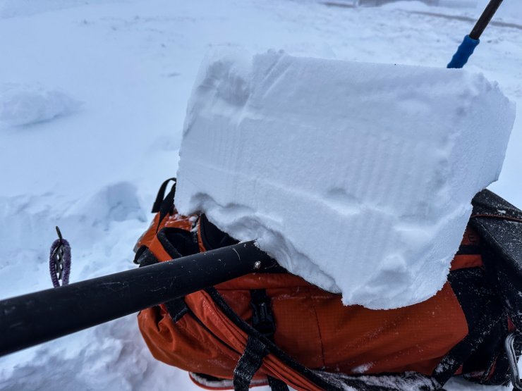
New soft windslab. This is approximately 30cm in depth and resting on a shovel. Striking the shovel from below sometimes yields multiple weaknesses (with one obvious failure seen here).
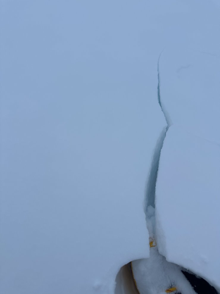
A crack in windslab at 1000m – an obvious indicator of instability. In this case a lower density weak layer below soft (but cohesive) windslab.
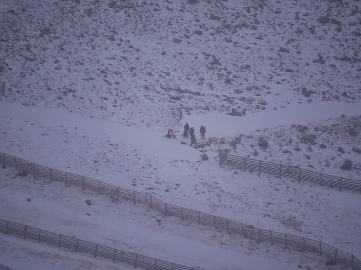
A winter skills party in Coire Cas.
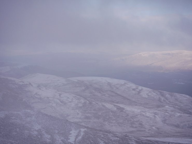
Looking north from the slopes of Cairngorm. Note the isolated snow accumulations on southerly aspects.
Comments on this post
Got something to say? Leave a comment