Significant thaw conditions
15th December 2024
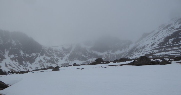
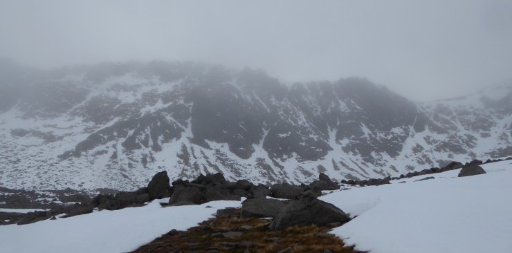
It was an incredibly mild and wild day on the hill with a midday temperature reading on CairnGorm summit of 3.6°C and a max wind gust of 109 mph. This has diminished the snowpack considerably with a loss of most shallow accumulations, especially at lower elevations. Deeper accumulations remain in sheltered locations mainly above 600 metres.
The following 24 hour forecast will continue as mild, wet and stormy. However, nowhere near as mild, wet and stormy as our colleagues further North and West.
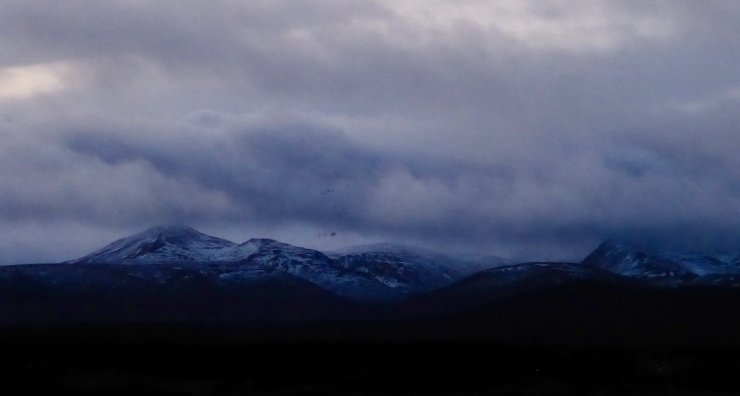
Above: Morning views of Bynack More & Bynack Beg on the left. Strath Nethy on the right.
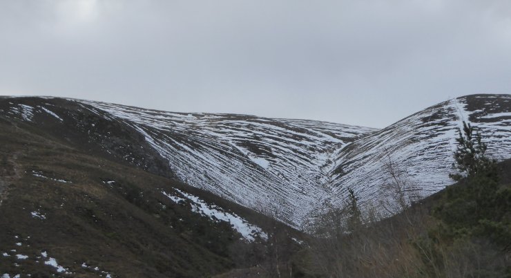
Above: Coire na Ciste.
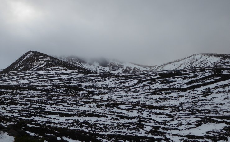
Above: Looking across towards Coire an Lochain.
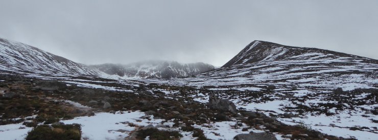
Above: Fiacaill Coire an t-Sneachda on the right with it’s namesake centre.
Above: murky views towards Fiacaill Buttress and the Goat Track.
Above: Aladdins Buttress.
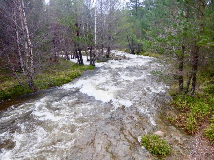
Above: Allt Mor. For those with interest: the Chais, Sneachda and Leith-choin (which includes the outflow from Lochain) are the significant components that make up the Allt Mor, which flows into Loch Morlich. Expect it to be even more impressive after tomorrow.
Comments on this post
Got something to say? Leave a comment
