The relative calm before the storm
22nd January 2025
Another beautiful day in the Northern Cairngorms if you were fortunate enough to be above the clouds.
It’s all change from tomorrow afternoon. After a calm and dry evening, the winds start to ramp up to reach gale force by midday. This coincides with the arrival of fresh snow, small amounts at first but increasing towards the latter part of the forecast period. Fresh windslab will start to develop on North-West to North-East aspects above 900 metres with fragile cornices also building.
The Avalanche Reports for all 6 areas have been reactivated.
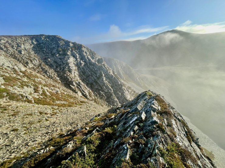
Above: Looking South towards Cnap Coire na Spreidhe.
Above: Looking South-West towards Bynack Beg.
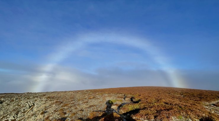
Above: A fog bow. According to the Met Office, “these are similar in some respects to a traditional rainbow forming from sunlight interacting with water droplets contained in fog, mist or cloud rather than interacting with raindrops as it does in a classical rainbow”.
Comments on this post
Got something to say? Leave a comment


