Am Monadh Ruadh
18th March 2025
Another fine day in the Cairngorms. The name Cairngorms is of course a bit of a misnomer, being derived from the summit Cairn Gorm. The correct name is Am Monday Ruadh – the red hills describing the pink granite for which the massif is famous.
Today the mountains were of course white, given the consistent snow cover which was notably absent just a week ago. A warmer southerly flow is on the horizon, which may well result in a more extensive “red” look to the highest and most extensive upland plateau in the UK…
Of particular note today is the snow surface, particularly for skiers. The snow remained firm and icy in most areas, and only softened on the steepest of slopes where it was subject to the suns rays reaching the surface in a perpendicular format. Given the almost parabolic shape to many summits, the result is frequently that of the suns rays reaching the surface obliquely, and correspondingly failing to soften the surface.
The same can be said of tomorrow and it is worth taking a cautious approach to all slopes, but particularly the steeps where it would be easy to be surprised by very firm snow. Runouts, will as ever, be potentially consequential.
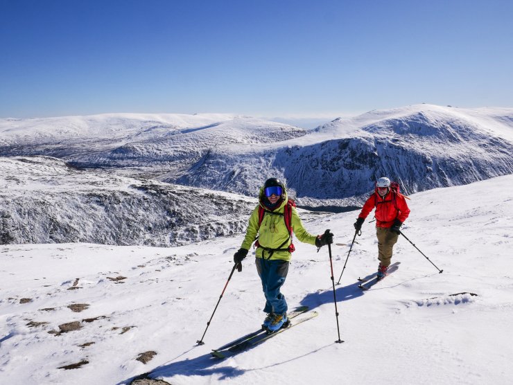
Skinning back up to the ski area from the East side of Cairn Gorm. Conditions were cold today, and it was no hardship making uphill progress wearing helmets and goggles! The snow surface remained firm in most locations due to the settled high pressure conditions.

On sunny aspects the snowpack is transforming readily to become a spring snowpack. However, the cold settled conditions mean that in deeper drifts the snow is insulated from the sun at depth. Today in an isolated deeper drift this graupel was found at nearly 1m down, providing a stubborn shear in tests. The global picture is one of a stable snowpack, but this just demonstrates that weaknesses are slow to dissipate in cold conditions.
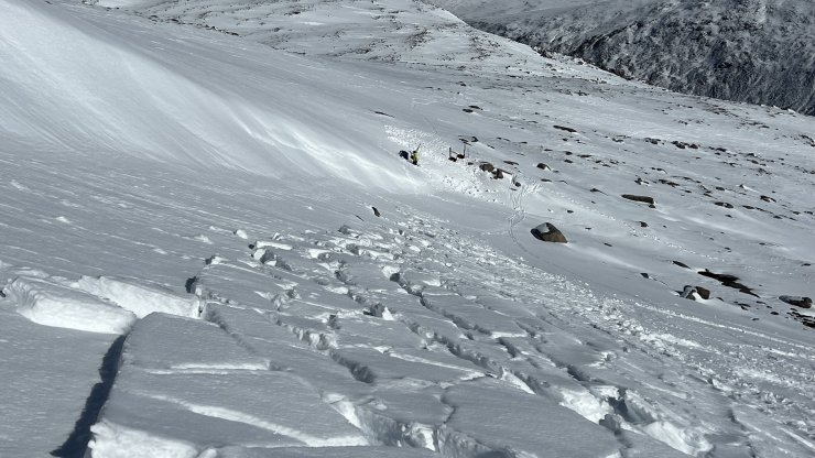
The Avalanche Report mentions isolated wind drifted accumulations in the observed section. An example can be seen here in the top left of the image, where snow accumulation has previously occurred on a convex terrain feature. This was the source of a size <1 avalanche recorded on the 15th March. In the centre of the image forecasters are visible at today’s snow profile site. It is in locations like this that weaknesses remain at depth, although the are expected to slowly dissipate in the fullness of time.
Comments on this post
Got something to say? Leave a comment


