New snow
18th December 2025
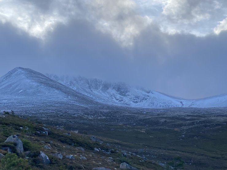
A thin cover of new snow lies above 800 metres. At lower levels there was heavy rain which turned to ice on some surfaces. Isolated accumulations of windslab are beginning to develop in wind sheltered locations. These are expected to become deeper and more widespread over the next 24 hours due to the onset of snow showers. The limited old snowpack is firm and icy with serious run out potential on steeper terrain.
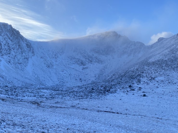
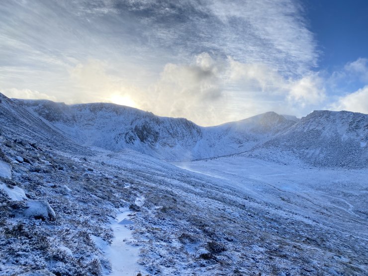
Coire an Lochain looking more wintry than of late.
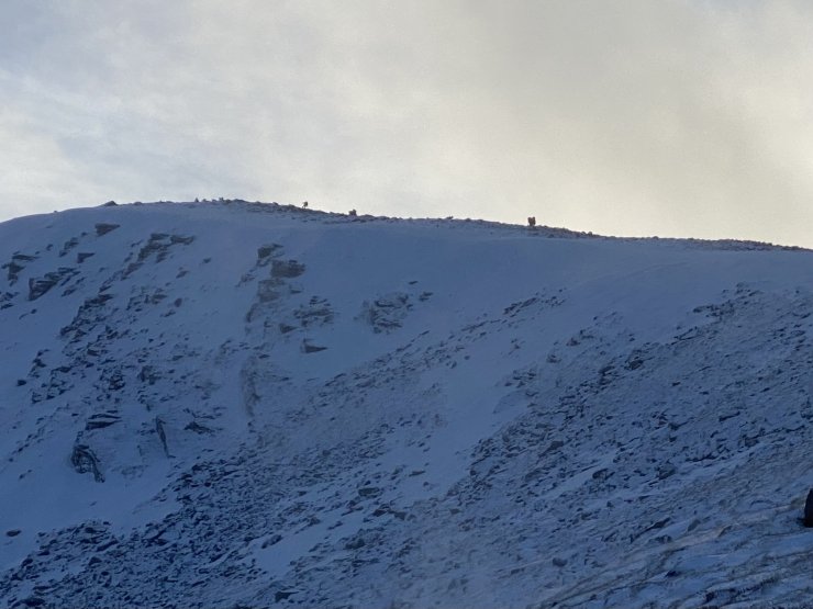
Drifting snow at the top of the Goat track and Fiacaill Buttress.
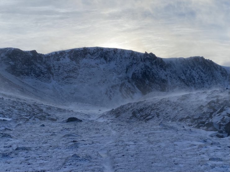
Drifting snow at 950 metres, Coire an t-Sneachda.
Looking towards the top of Choire Chais ridge.
Coire an t-Sneachda.
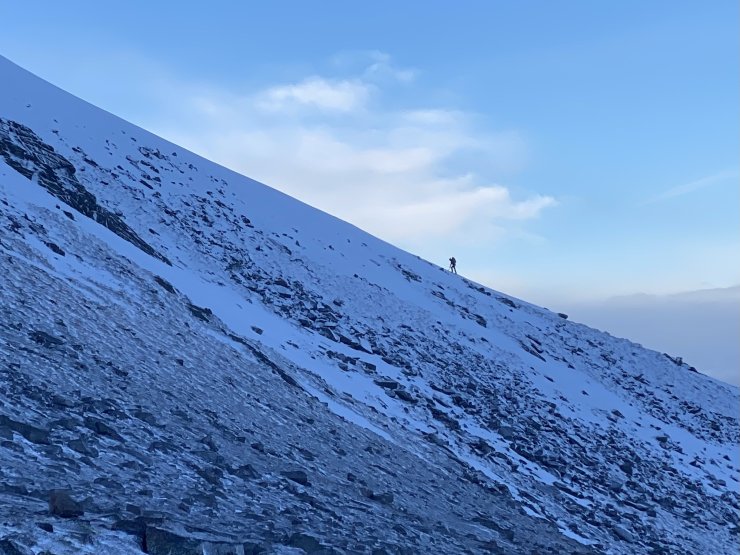
The Eastern flank of Choire Chais ridge.
Comments on this post
Got something to say? Leave a comment


