Potential for snow…
16th December 2025
Cold conditions are expected to prevail with some snow showers overnight followed by a more persistent period of snow in the morning tomorrow. This snow will be accompanied by storm force winds from the south, which may result in some windslab development around the coire rims on North-West to North-East aspects above 1000 metres. In these locations any fresh windslab will be poorly bonded to the underlying old snow.
This may give some transient instability in windslab during the snowfall. But any snow showers are expected to dissipate, or perhaps turn to rain as the freezing level rises above the summits by the afternoon. This change doesn’t meet the bar for anything other than a Low Hazard Level, but note the presence of Windslab as an avalanche problem for tomorrow.
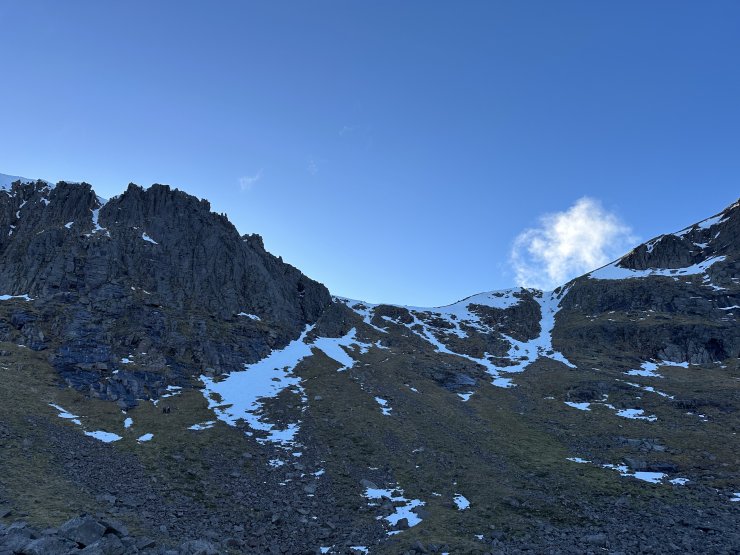
This foreshortened image is of ‘The Goat Track’ in Coire an t-Sneachda. It isn’t really a true reflection of the remaining snow, and it’s worth comparing this image with those distant shots below. Despite this image there were quite a few climbers about, including at least one soloist enjoying the very firm snow ice aka “neve”.
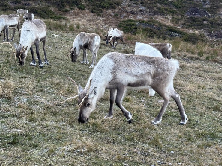
Reindeer in the ski area at Cairngorm Mountain. If you visited the blog on previous days you will have seen my favourite reindeer fact – that they are the only animal that can see UV light with their naked eye. Apparently snow reflects up to 90% of UV but reindeer moss (a favourite food) appears black and therefore is conspicuous.
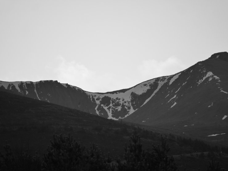
Coire an Lochain
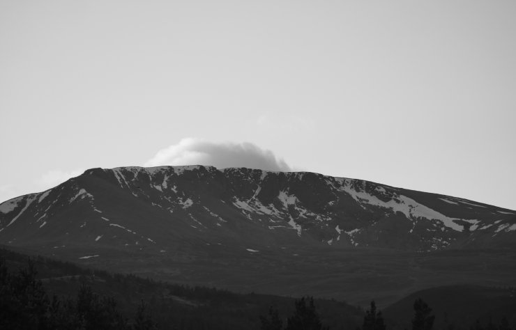
An image of Coire an t-Sneachda from Glenmore Lodge.
Comments on this post
Got something to say? Leave a comment