A thin crust
5th January 2026
The Northern Cairngorms is blanketed in a deep covering of snow from glen level upwards. Visibility improved as the day went on, but the high tops struggled to clear. The wind was relatively light from a North Westerly direction and temperatures were sub zero at all levels. The mid-day temperature on Cairngorm Summit was reading a chilly -8.1 degrees. Suprisingly a thin crust formed on the surface of the snow pack at 560m in the Ciste Gully area, then again (albeit a slightly thicker crust) higher up at 1100m. Indeed this crust can be found on all aspects and elevations. Clearly this has not been formed by the usual ‘melt-freeze’ cycle which would normally expect a crust to be formed by. The assumption is that this has been formed by ‘freezing rain’, with precipitation falling through a warmer layer in the atmosphere prior to being super cooled at ground level.
From an avalanche perspective, this layer is very significant. Firstly, it has ‘sealed’ in all the existing snow which therefore cannot be wind transported unless the winds are very strong. And secondly, when buried beneath the forecast new snow will form an icy ‘vapour barrier’ adding to the already ideal conditions for further development of facets. Facets already exist within the snowpack; the above findings will further add to the instabilities. Human triggered avalanches are a real possibility at this time.
The photos below will give readers a reasonable picture of snow cover in the Northern Cairngorms.
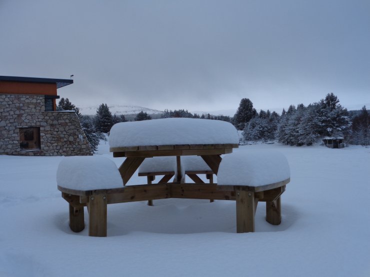
A good 8″ of snow outside the SAIS office at Glenmore this morning (altitude around 300m).
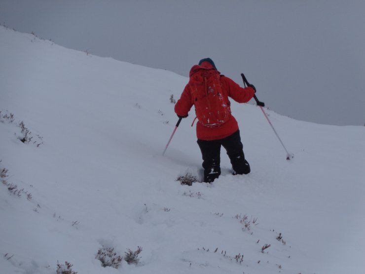
Hard going on foot at all levels. Here in the Ciste Gully around 550m Soft deep snow overlays frozen ground. Drifts of snow in wind-sheltered locations were thigh deep. The snow profile here indicated multiple weak layers.
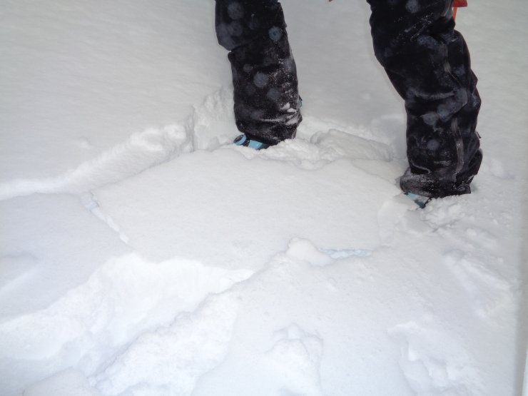
Propagation (cracking) within the thin crust. As explained above, this thin crust will create further instabilities within an already unstable snow pack.
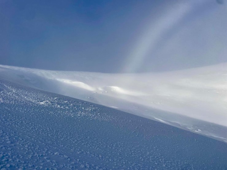
Looking across to the SE aspect of Ciste Mhearad. A lot of new snow in here on the leeward side of the last few days prevailing wind. Also a surprise fog bow. The 2nd fog bow day of the season! See blog dated 29th Dec for more fog bow info.
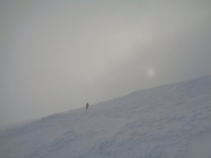
A typical view of snow cover and visibility on the Cairngorm Plateau today. Travel on foot would be challenging. Heavy riming and a breakable crust did not lend itself to great ski conditions either.
Comments on this post
Got something to say? Leave a comment