Blizzard Conditions
6th January 2026
Today started bright and clear with reasonable visibility to summit level. By late morning snow showers arrived and continued with increasing intensity throughout the afternoon. As the frontal system passed through, the wind was from the South-West. With this slightly milder wind direction, there was a wee ‘blip’ in the cold temperatures with the freezing rising briefly to around 700m during the afternoon. The wind is forecast to return to the North-Westerly quadrant and the freezing level will drop to around 400m overnight and into tomorrow. Further snow showers are expected throughout Wednesday.
The snowpack is fragile. Multiple cold weather crystal weaknesses were identified within the existing snowpack and todays fresh, wind blown snow will further add to what is developing into a very volatile snowpack. The avalanche hazard is Considerable, natural avalanches are likely. Please check out the avalanche forecast for further detail.
Below are some photos which will give the reader a good flavour of conditions today in the Northern Cairngorms.
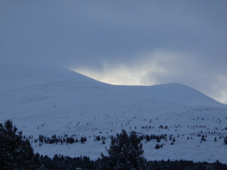
An early morning photo looking up into Coire Cas before the snow arrived. The top of Fiachaill a Choire Cas visible on the right and Cairngorm summit on the left obscured by cloud.
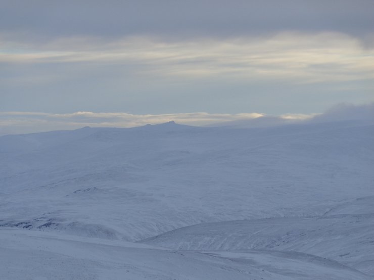
Looking across from the East side of Cairngorm towards remote Beinn Avon and Beinn a Bhuird.
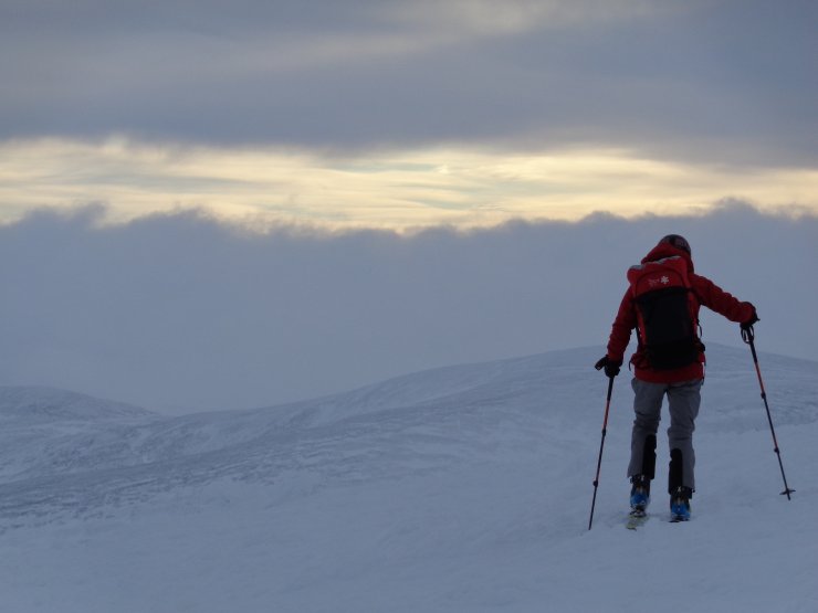
Heavy snow heading our way. The W/NW flank of Beinn a Chaorainn (1082m) visible in the background. The only wind scoured terrain that was noted today.
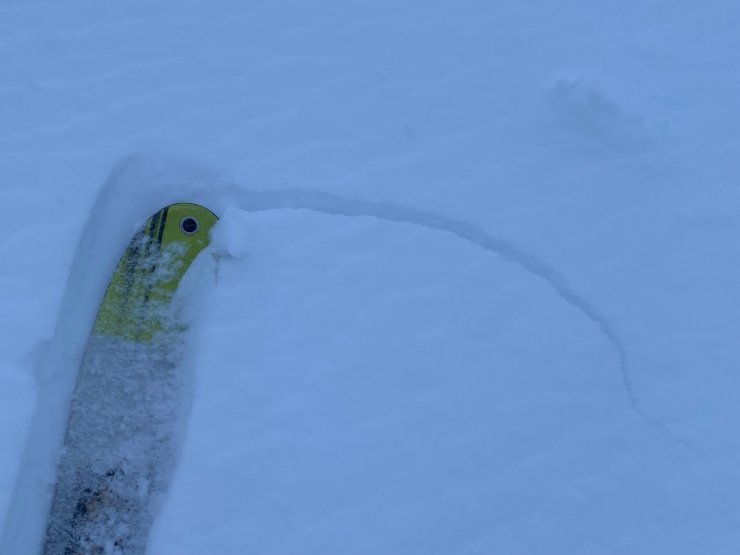
Propagation (cracking) in the fresh windslab around 900m on a North aspect in Coire Cas. This is a sign of an unstable snowpack.
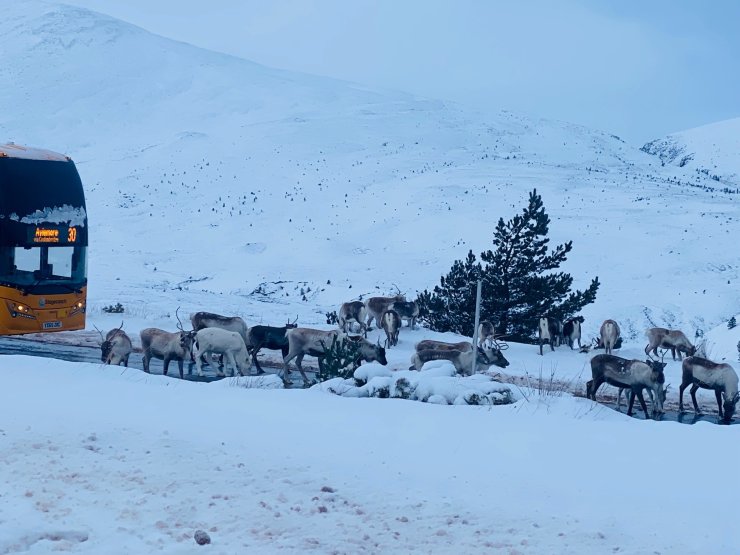
Only at Cairngorm would you find the bus delayed by a ‘Reindeer Jam’!
Comments on this post
Got something to say? Leave a comment


Stan Intihar
6th January 2026 4:55 pm
Thanks for your work and Up the Reindeer!!
ncairngormsadmin
7th January 2026 3:18 pm
Hi Stan
thanks for your comment,
the Reindeer could have been after the salt on the road, best wishes from the North Cairngorm team.