Improved visibility below 800m
4th January 2026
The cloud base rose to around 800 metres by the afternoon, poor visibility above. Very cold temperatures, with lows of minus 10 Celsius on the summit of Cairngorm, feeling bitterly cold in the fresh North-Westerly winds. Snow cover is deep enough now to move comfortably around on ski tour ski’s but still tricky enough as there is no definition of the terrain ahead and careful navigation is needed off the beaten track. The bitterly cold conditions are set to continue with more snowfall forecast over the next 24 hours.
What lies beneath? Below is a picture of loose angular snow grains called facets, these are lying beneath the new snow at higher levels. They form weak bonds with surrounding snowpack layers and are a type of persistent weak layer. They develop when there is a strong temperature gradient in the snowpack. The other crystals in the photo are surface hoar which is now buried. These feather like crystals developed during the settled weather before New Year. Like facets, they also form snowpack weaknesses. Both of these crystals don’t bond or knit together due to their angular structure.
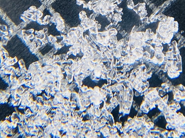
Facets and buried surface hoar.
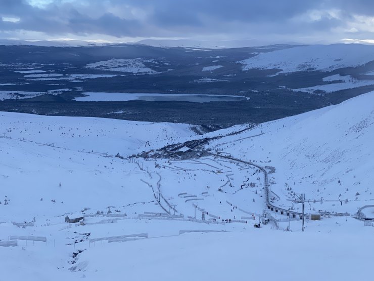
Finally a view! This is looking North from 800 metres.
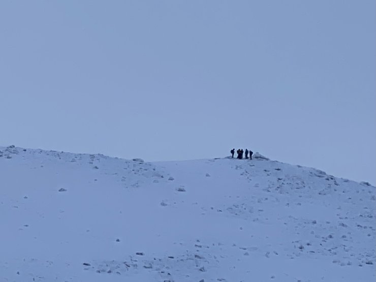
A group on the Fiacaill a Choire Chais ridge.
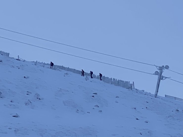
Lower down on the Choire Chais ridge.
Comments on this post
Got something to say? Leave a comment


