Gale force winds
22nd February 2026
Gale force West-South-Westerly winds with some particularly powerful gusts made progress up high challenging. There were some brighter spells in between the showers, which were generally falling as snow above 950 – 1000 metres.
The snow surface was distinctly variable. Above 1000 metres there were places where the overnight rain and then a drop in temperature had made the snow surface very firm and icy, particularly if exposed to the wind. At mid elevations there were areas of crust, strong enough not to be noticed by those travelling on skis, but certainly making it challenging for those on foot. In other areas the snow surface was moist and soft, but was compact underneath, and made travel particularly favourable and fast, whether on skis or foot.
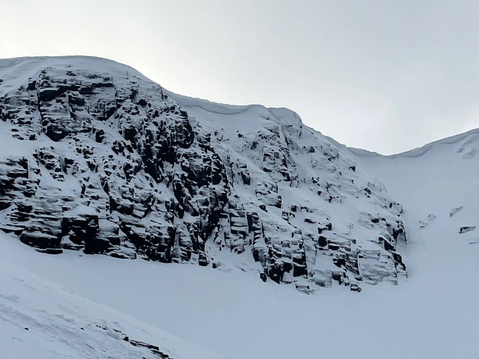
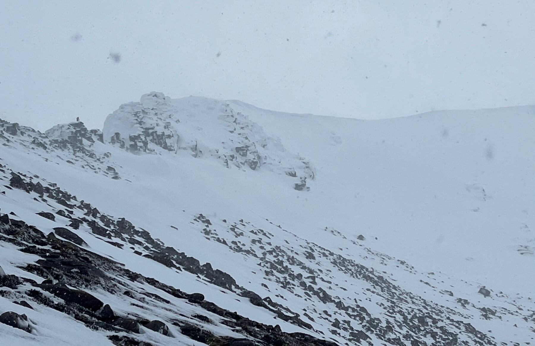
Mess of Pottage with sizeable cornices above.
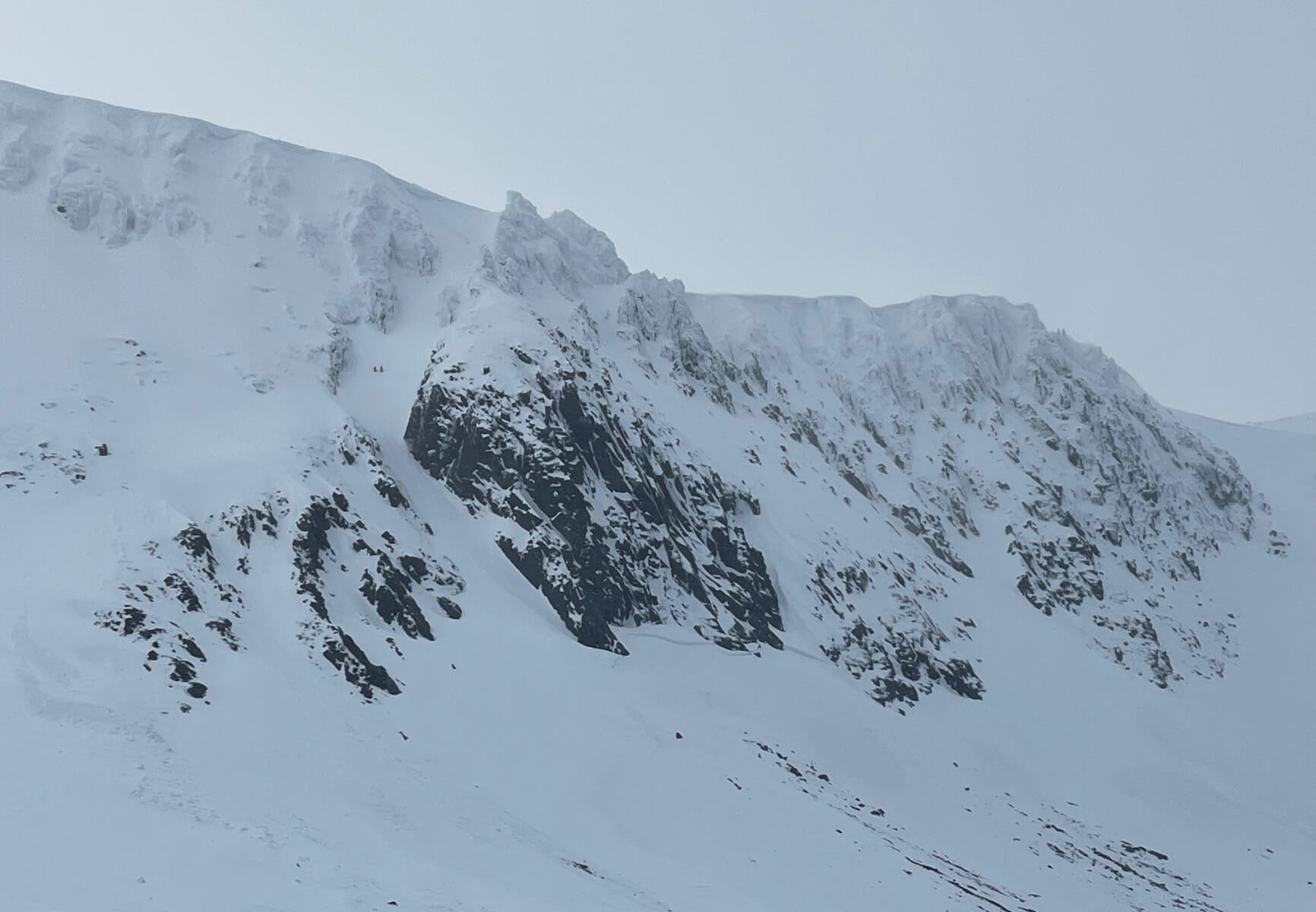
Aladdin’s and Fluted Buttresses.
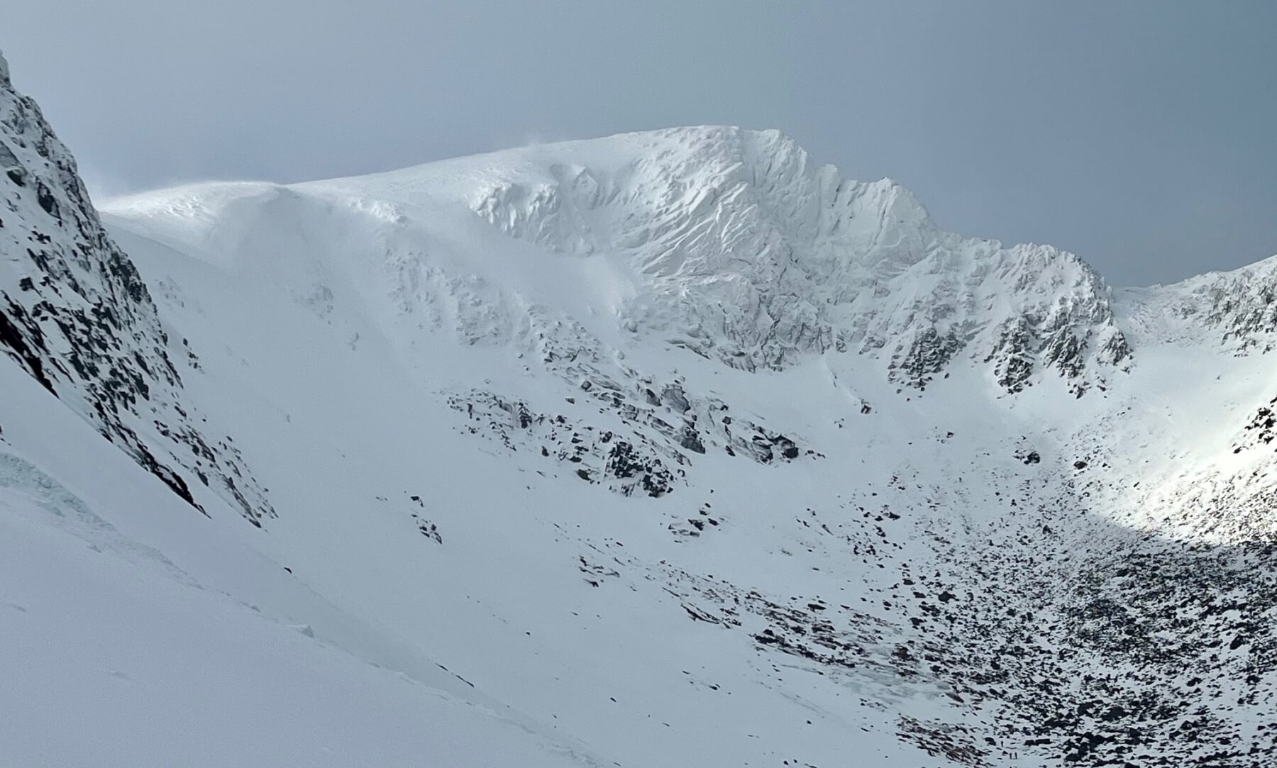
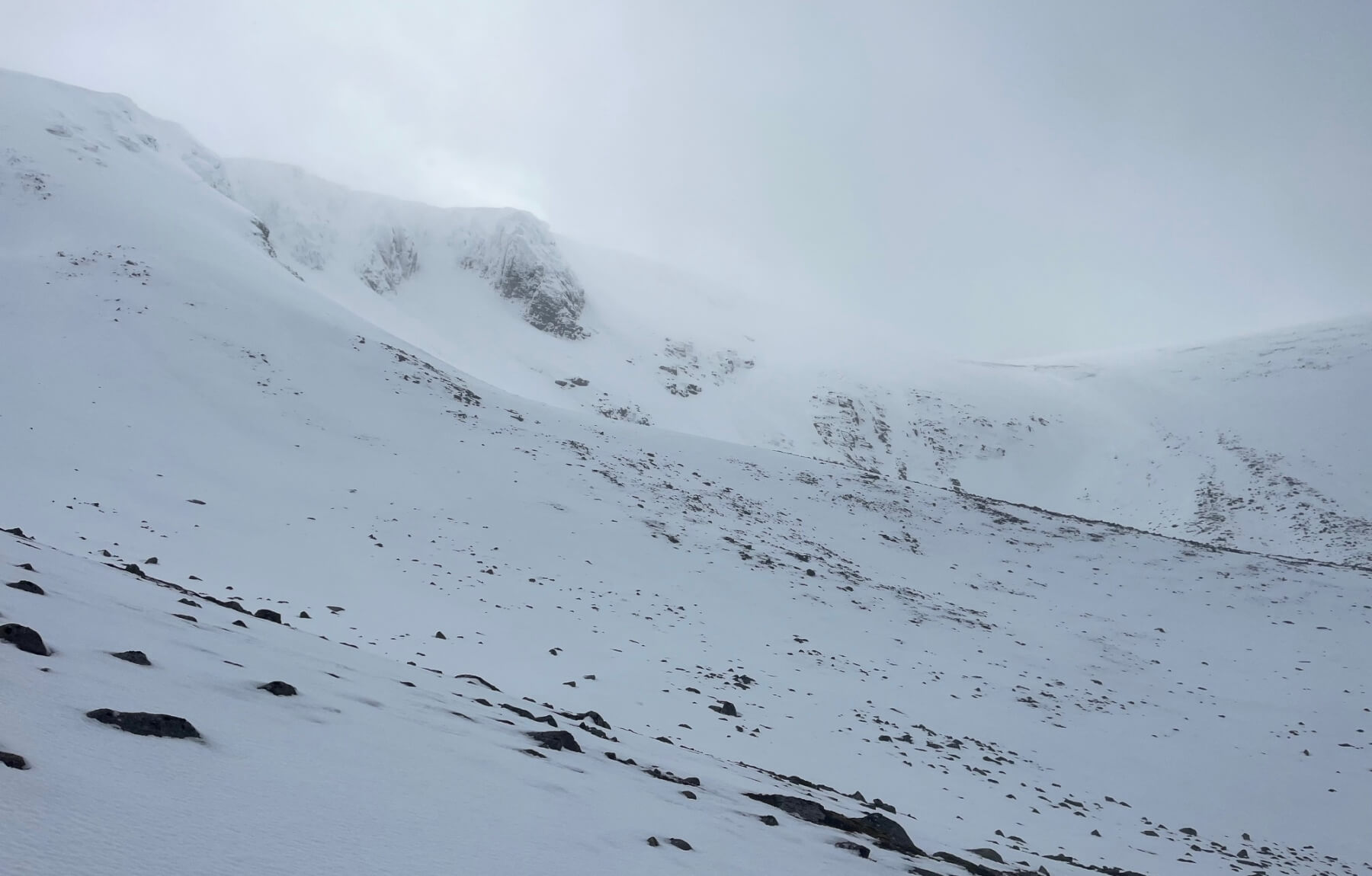
Fiaciall Ridge. The fresh snow can be seen drifting at the top of the Goat Track, just catching the sun in the left of the image. This is at 1100m.
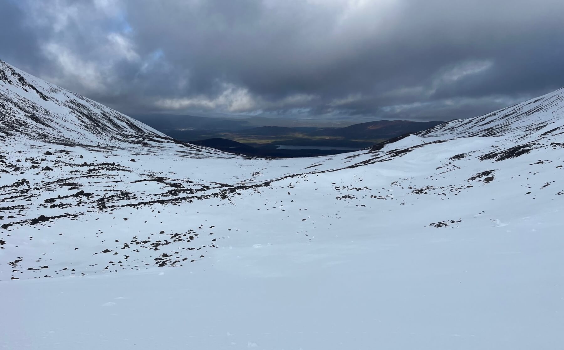
Looking out towards Loch Morlich from Coire an t-Sneachda. Despite the thaw at lower elevations, overall coverage here is still good.
Fiaciall Ridge from the other side. Evidence of fresh snow drifting over the ridge, and in front of the camera lens!
The North-West facing slopes of Coire an Lochain and the twin burns area.
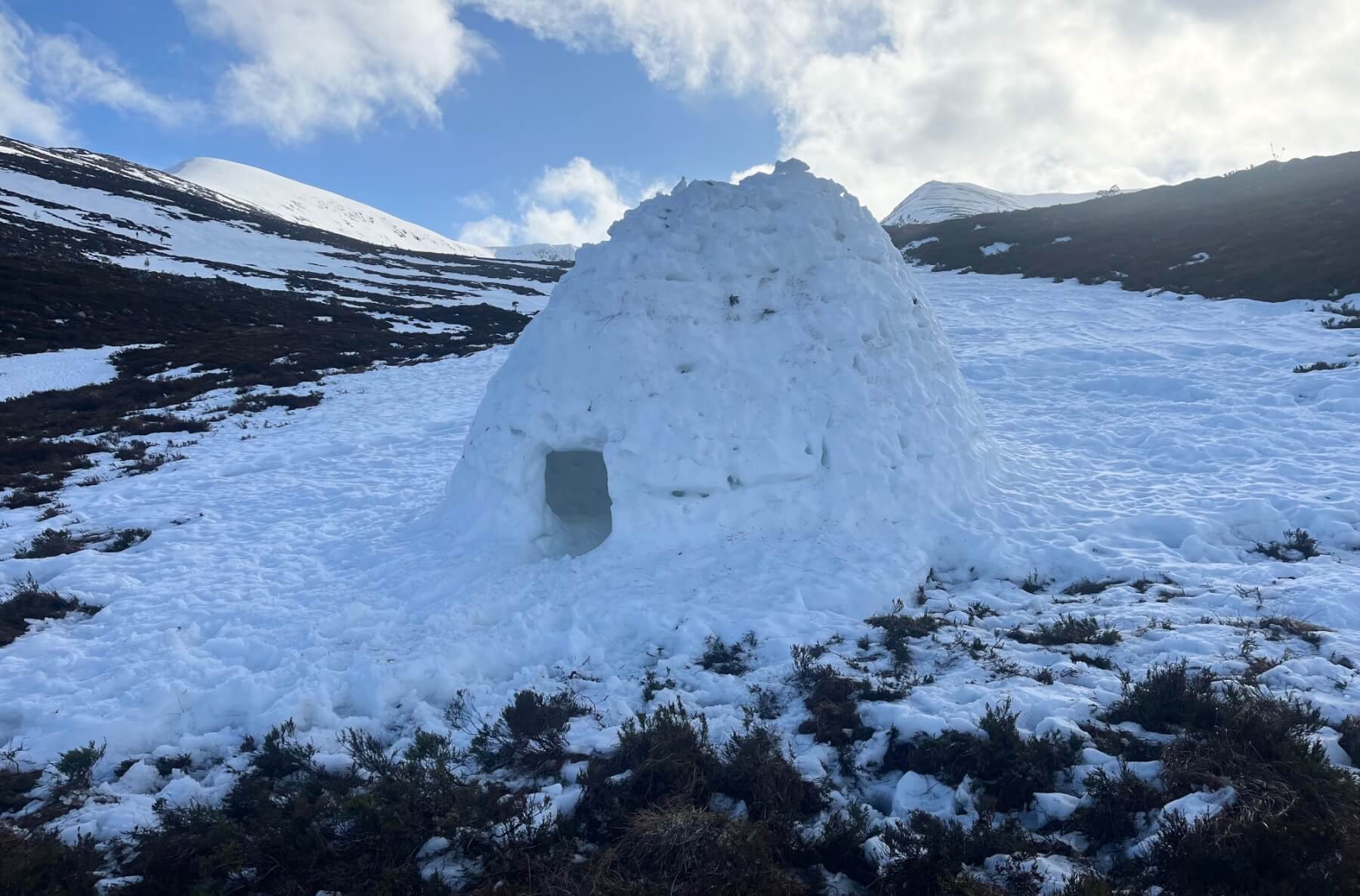
Although there has been snow loss at lower elevations, and there will be more throughout this week, this igloo was holding up well, albeit with a small hole in the roof. Quite a comfortable shelter from the wind with room for plenty. A lot of work has clearly gone into this.
Comments on this post
Got something to say? Leave a comment


