Coire an t-Sneachda
10th March 2026
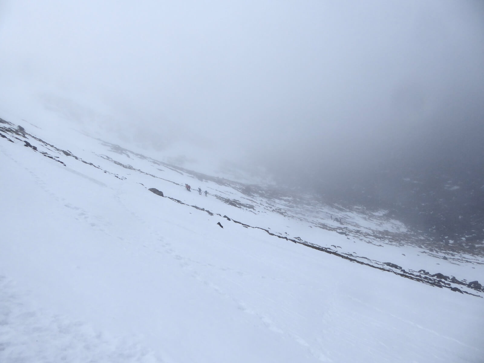
Another mild day in the Northern Cairngorms area. Not a great day for photos as the cloud lingered around the 800 metre contour for most of the day. Although a mainly dry forecast, this thick band of cloud didn’t make it feel particularly dry and this continues to affect the snow pack. A big change in the forecast over the next 24 hours. We are forecasted to get a significant amount of rain to all levels in the evening (standard amounts by our West Coast friends) which will produce a wet snow problem and any lingering unstable cornices will be prone to collapse. Readers should also be aware of the large glide crack in Coire an Lochain which is impossible to put a date on potential release. Once everything is saturated, the freezing level is going to follow a downward trajectory settling around the 800 metre contour bringing with it fresh windslab and fragile cornices – more problems. It’s also going to be windy – storm force – which will also create its own problems.
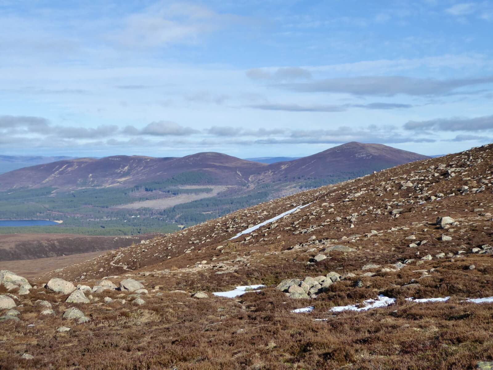
Meall a’Bhuachaille (810m) devoid of any snow.
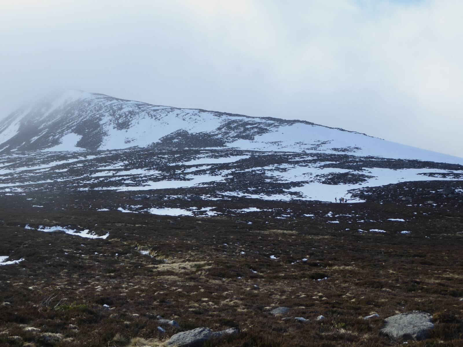
North-East flank of the Fiacaill Ridge.
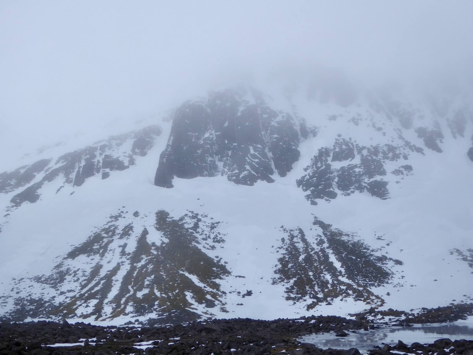
Looking up to Aladdins Buttress.
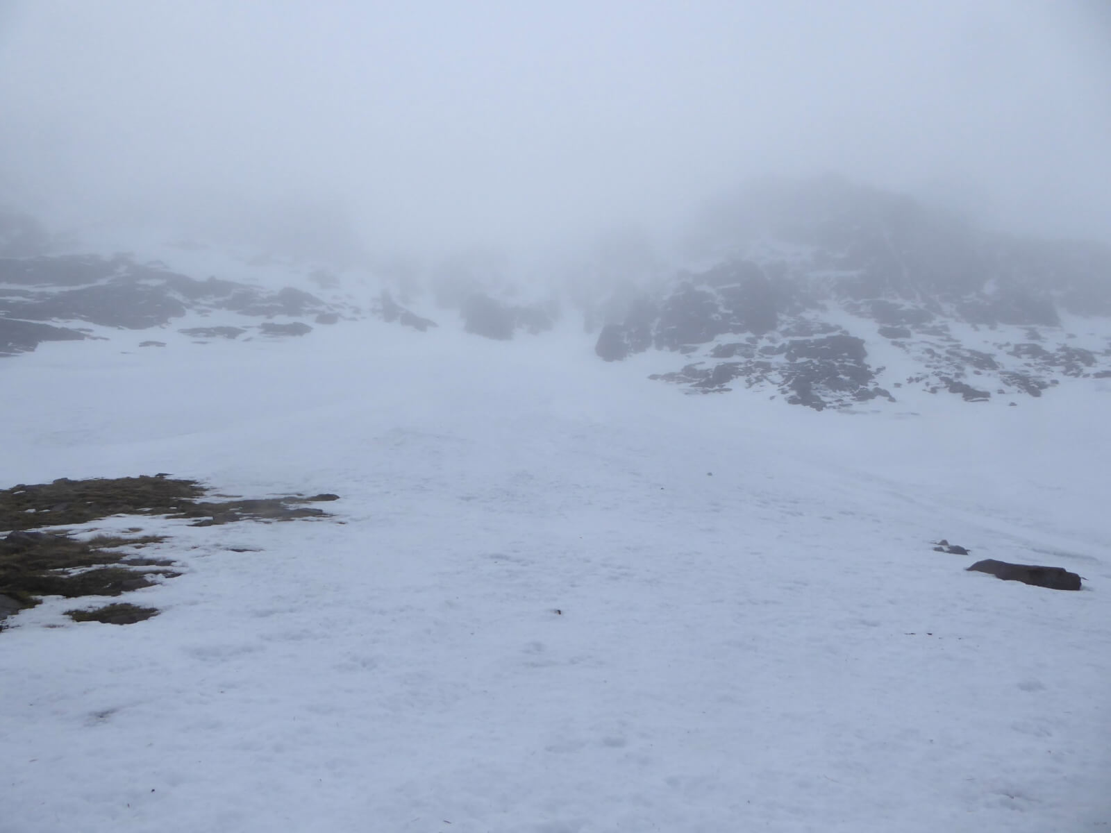
Looking up the Trident Gullies.
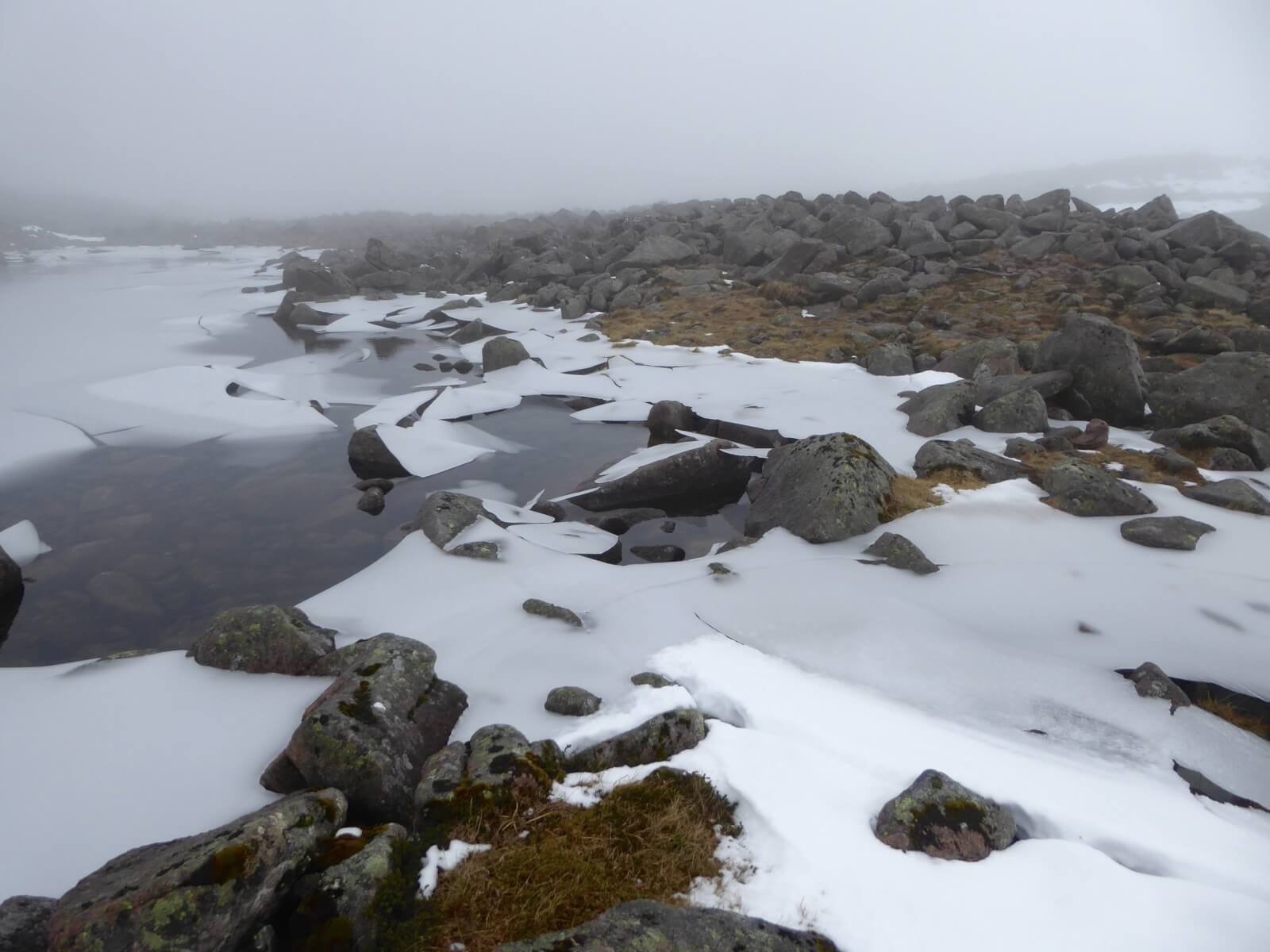
The Sneachda lochan.
Good snow cover remains below the Goat track.
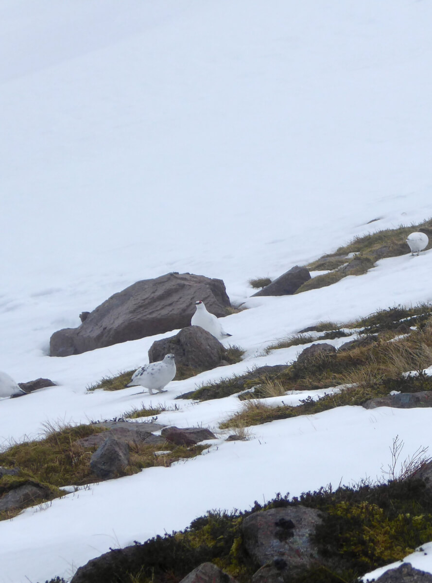
Ptarmigans – becoming more rare to see as the years go by sadly.
Comments on this post
Got something to say? Leave a comment


