Persistent drizzle in the morning
9th March 2026
A big difference in the snowpack compared to yesterday. We had persistent drizzle for the first part of the day which has greatly improved snowpack stability in all locations. The gradual thaw has softened the most recent snow deposits and the surface of the historic icy snowpack. Thick icy patches are still present across the mountain range. At higher elevations the snowpack will refreeze overnight as the freezing level lowers before softening up once again during the day.
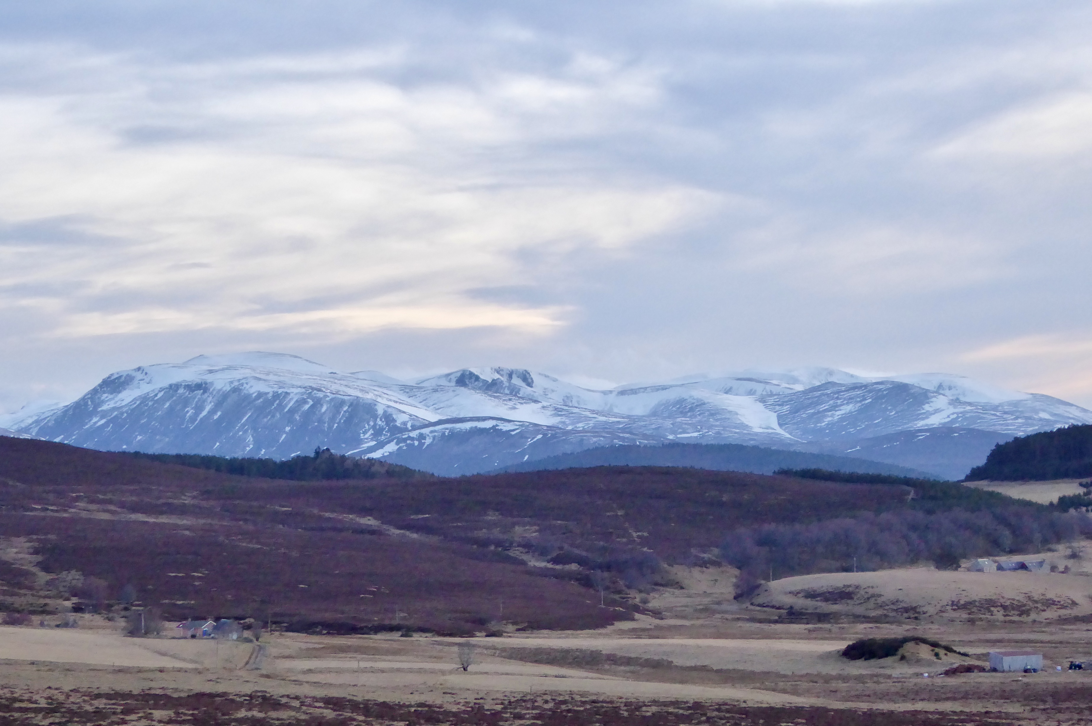
Our forecast timeframe is 1800 – 1800 so a dusk photo last night of the Cairngorms is acceptable. Strath Nethy the obvious valley on the left with the Northern Coires centre and Lurcher’s Gully on the right.
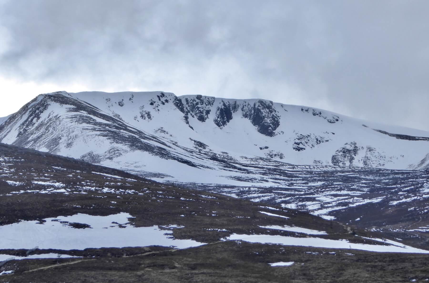
Substantial snow build up in Ciste Mhearad.
A lone skier heading down for Cairn Gorm summit in search of the elusive snow ribbon. Note: skis in hand.
South-West aspect of Cairn Gorm devoid of any meaningful snow. Coire Cas still holding good accumulations.
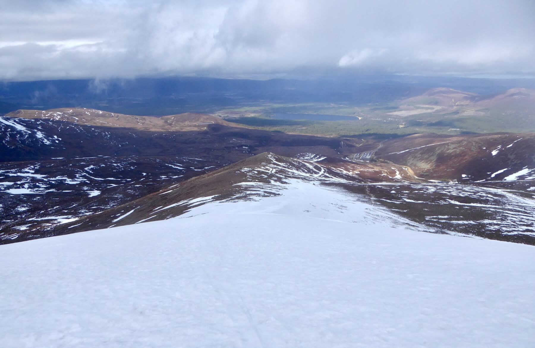
Looking down Fiacaill a’choice Chais.
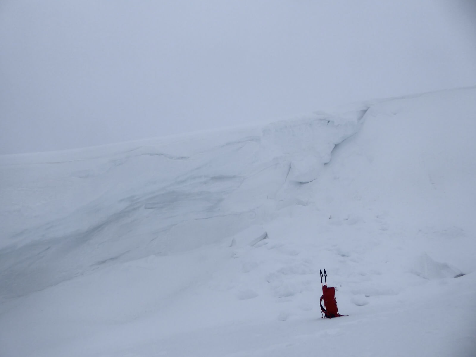
The Coire an Lochain glide crack. It cleared as I was heading off the hill but this grabbed my attention. Referring back to the blog post on the 5th March – it does appear that the glide crack has extended further around the coire now.
Comments on this post
Got something to say? Leave a comment


