Cool and breezy
10th April 2026
Cold temperatures with a dusting of new snow above 1000 metres. The snowpack is most widespread above 1000 metres around coire back walls and the plateau. Sun exposed slopes were notably softer than North facing slopes which were very firm with serious run out potential. Snowfall on gale to storm force winds expected over the next 24 hours. This will be heaviest during the night, winds are expected to ease on Saturday.
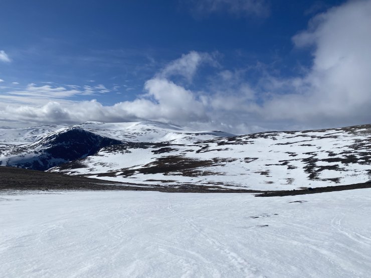
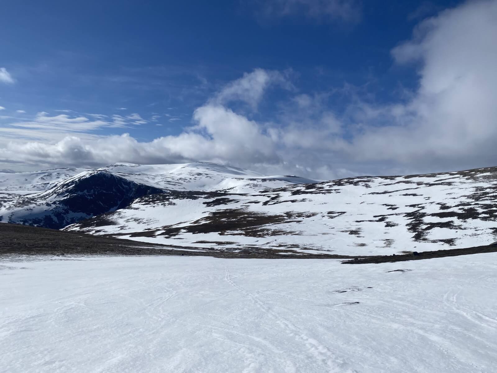
From the South side of Cairngorm, views across the plateau with Ben Macdui in the distance.
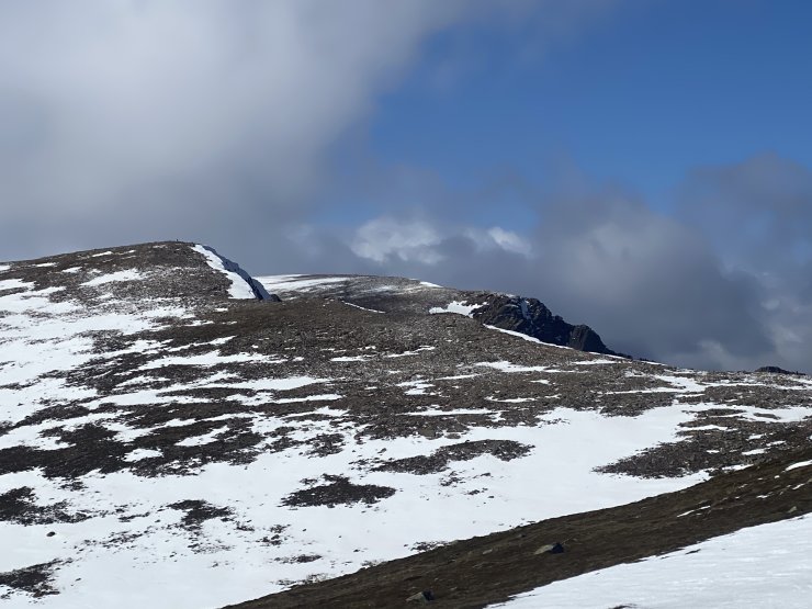
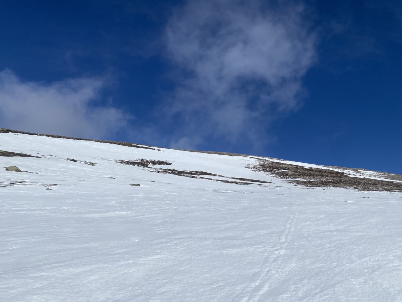
The Southern slopes of Sneachda.
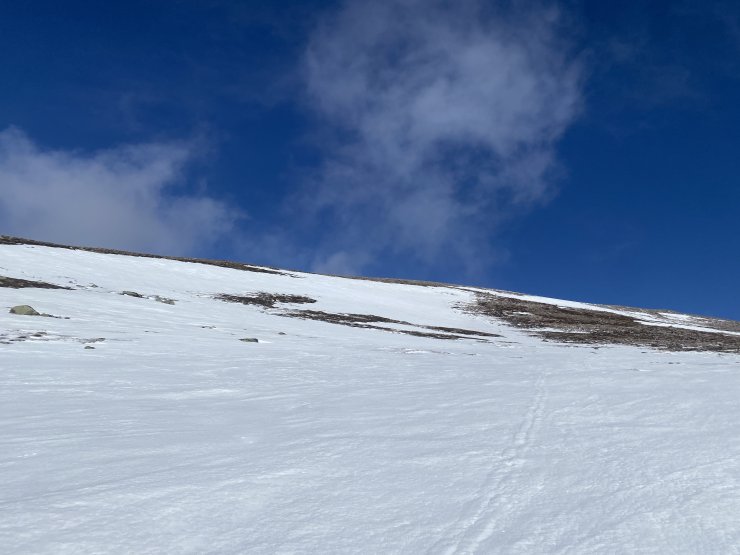
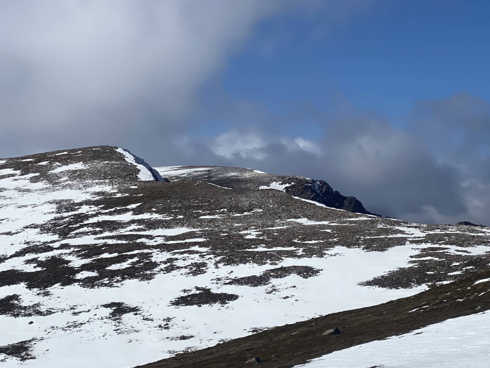
Looking up the South side of Cairngorm.
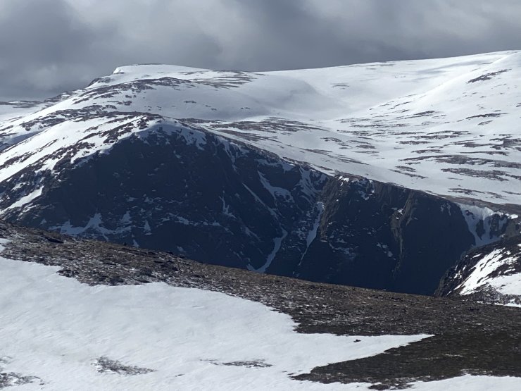
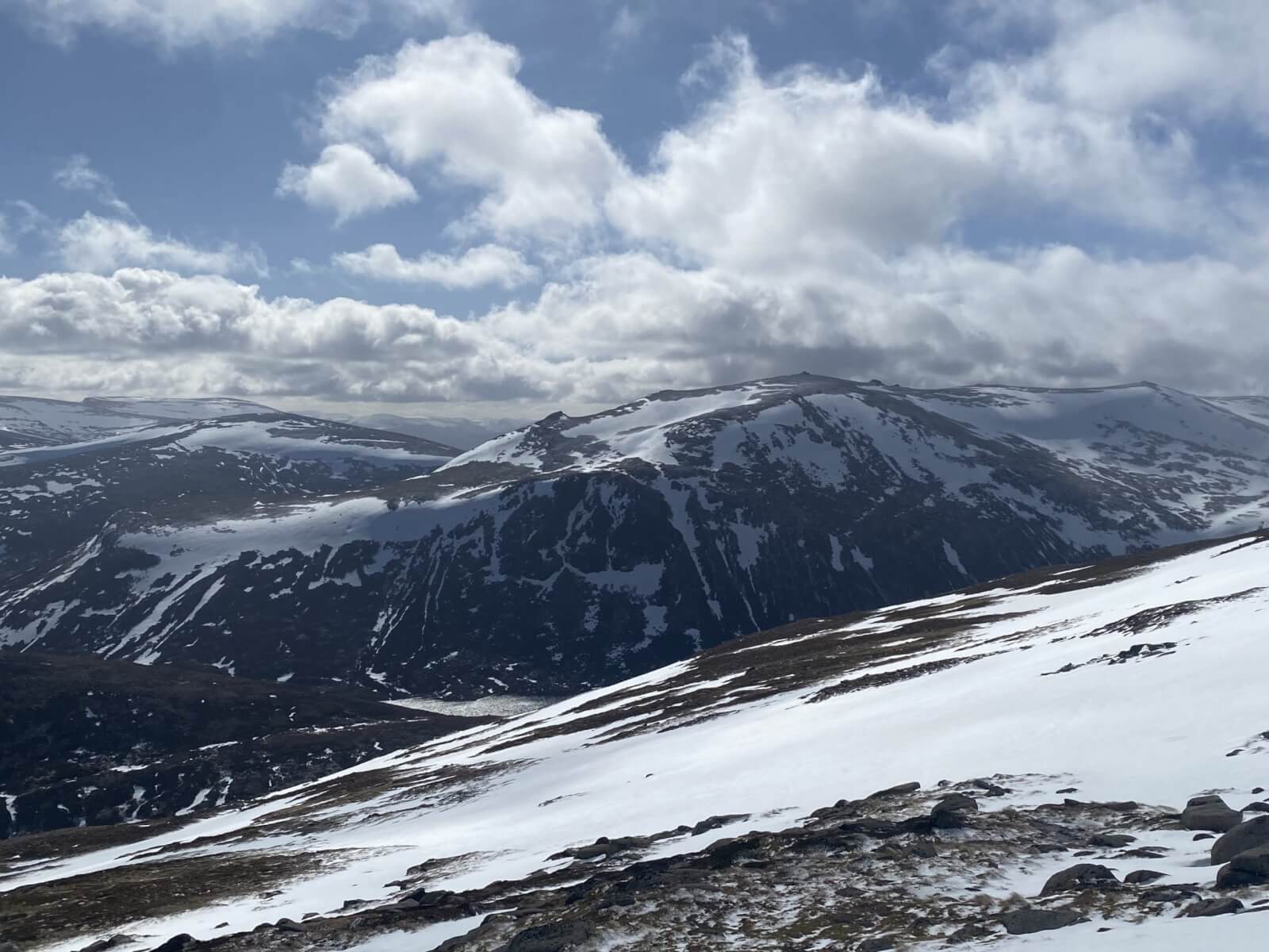
Carn Etchachan and The Shelter Stone Crag.
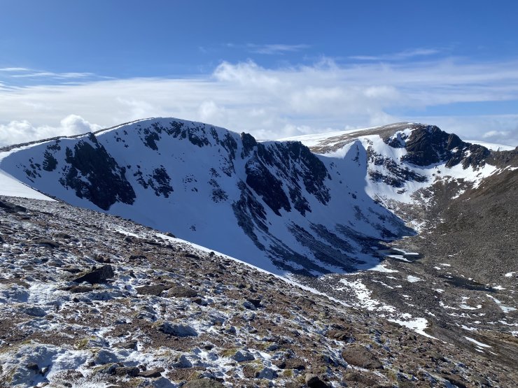
Coire an t-Sneachda.

Beinn Mheadhoin with the Eastern slopes of Cairngorm in the foreground.


Comments on this post
Got something to say? Leave a comment


