Rain then snow
1st April 2026
Very mild during the morning with showers of rain at all levels, this turned to snowfall down to glen levels by mid afternoon as the freezing level plummeted to 900 metres. The remaining snowpack felt spring like, with greatest extent above 900 metres, on coire back walls, ridge flanks and the main plateau. This is expected to gradually become firm with serious run out potential on steep slopes.
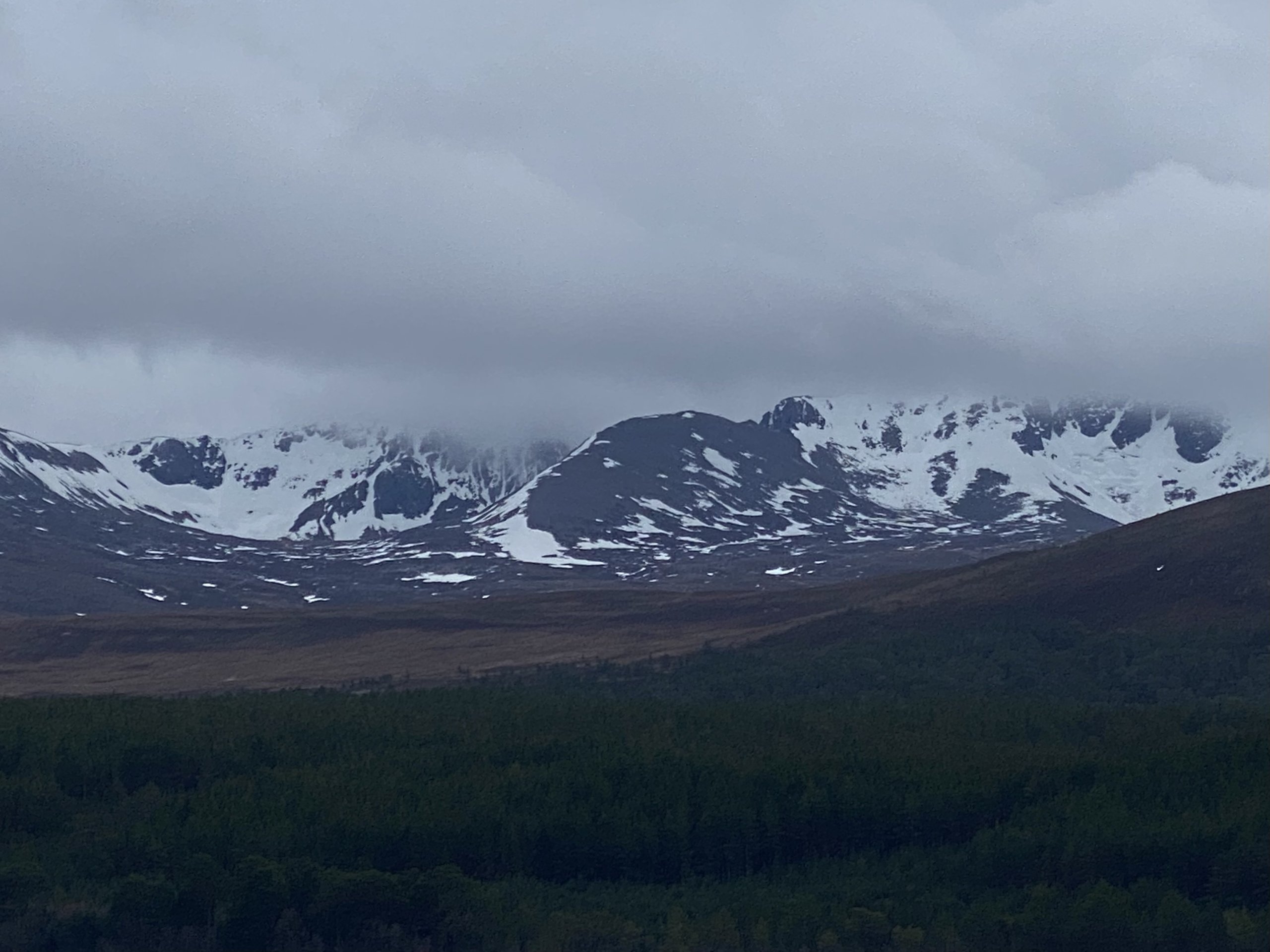
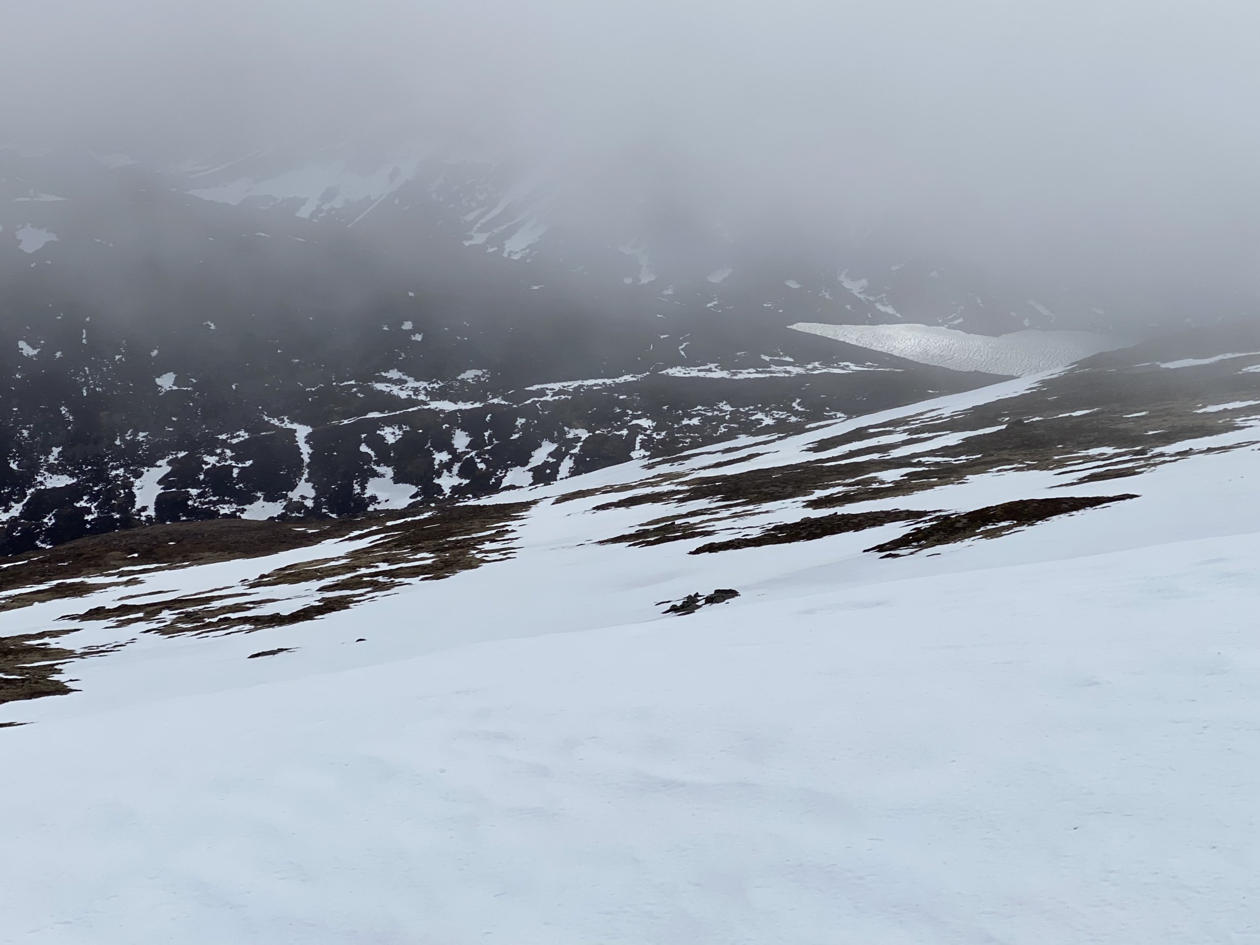
This morning, views of Coire an t-Sneachda, Fiachaill Coire an t-Sneachda, Lochain to the right.
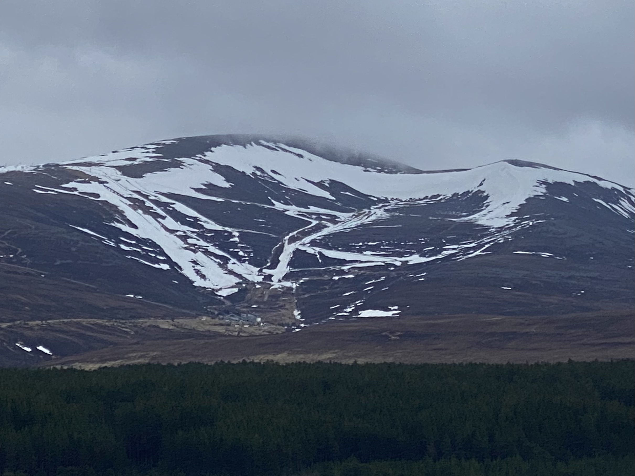
Cairngorm ski area, White Lady on the left, Cas in the middle.
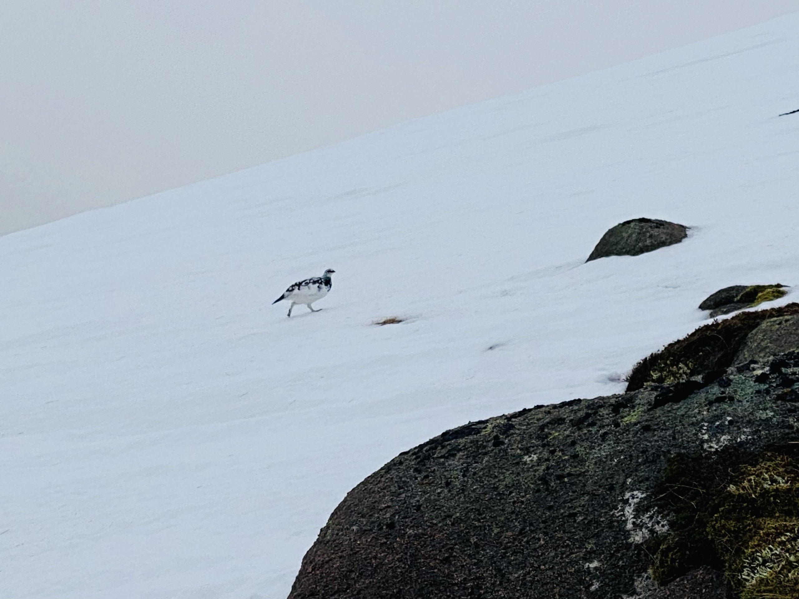
A ptarmigan on the E side of Cairngorm.
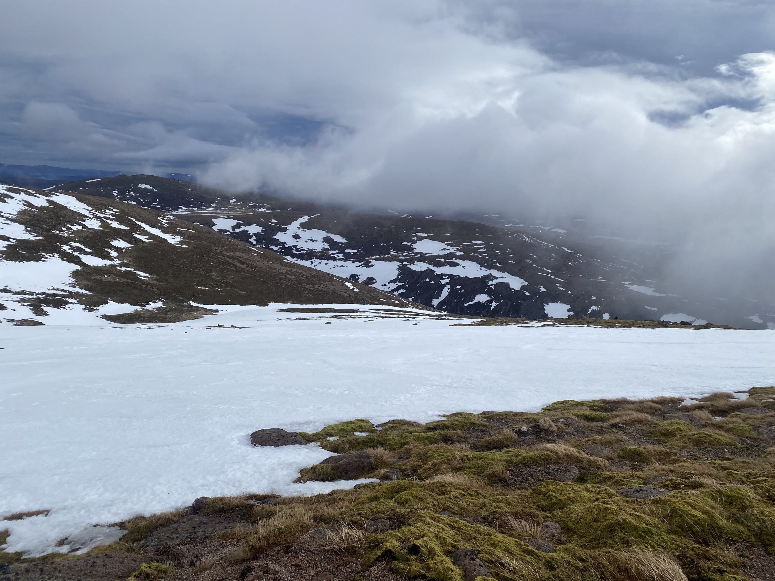
Looking down Ciste Mhearad drainage.
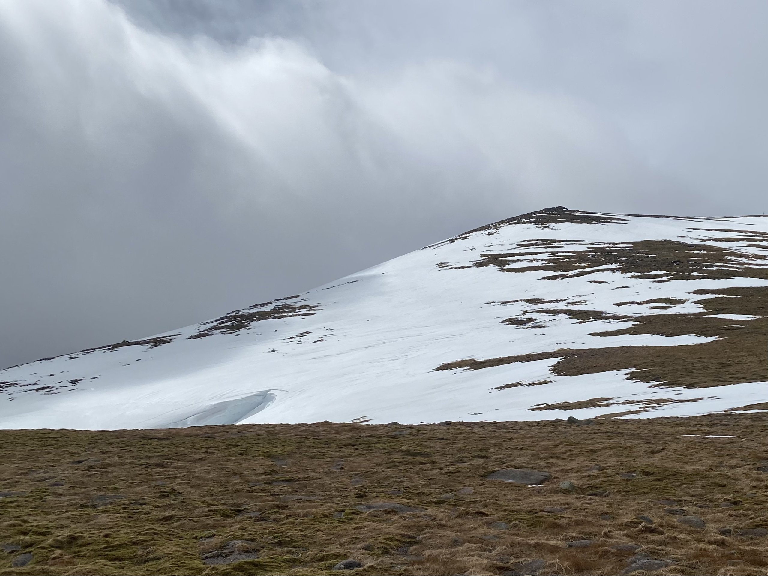
The East side of Cairngorm, Loch Avon beyond.
The top of Ciste Mhearad, E side of Cairngorm and summit tor.
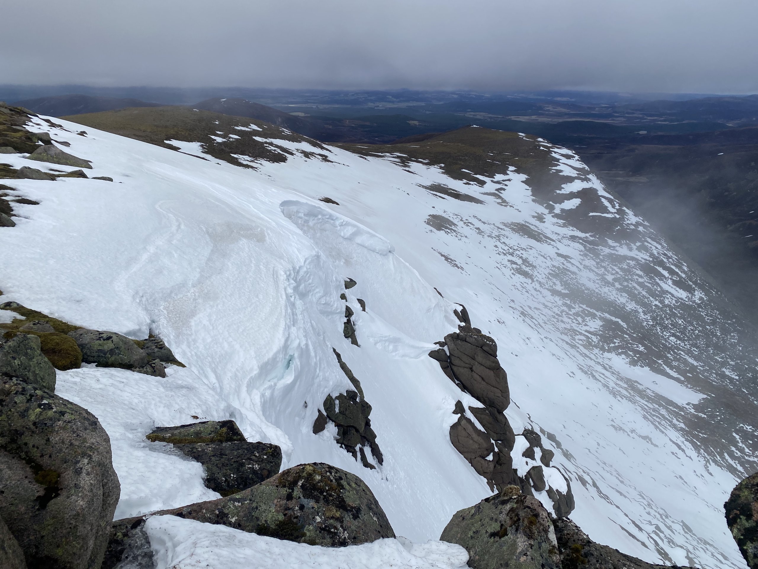
The Eastern coire rim of Cnap coire na Spreidhe.

Rain turned to snowfall at all levels by mid afternoon.
Comments on this post
Got something to say? Leave a comment


