Sunny spells
13th April 2026
After the stormy weekend it was good to get up high and have a look around. There are some large snow drifts and deep accumulations of windslab in specific places, primarily steep North-West to North-East aspects above 950 metres. (see report for more detail.) Also, below 950 metres, there is a widespread icy crust in many locations. All change tomorrow as the freezing level is due to rise sharply in the afternoon, this will bring a period of heightened instability, particularly overhanging cornices which can collapse and trigger slopes below.
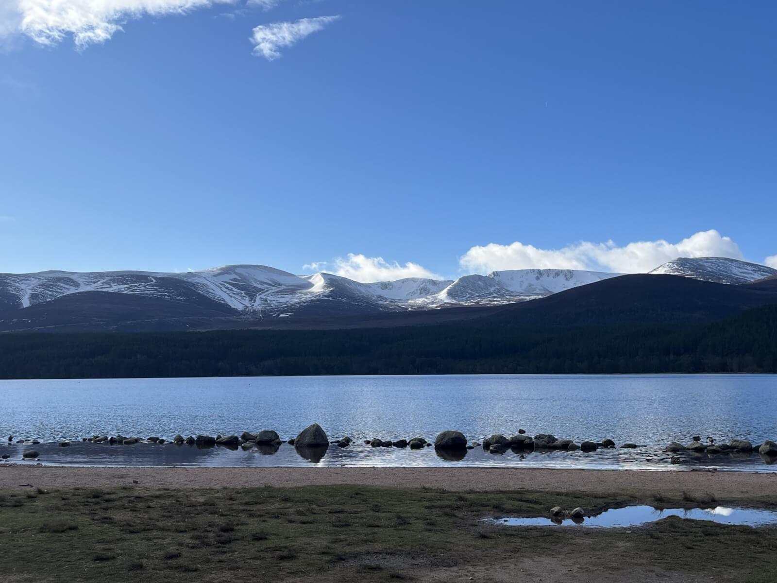
Morning view of Northern Coires.
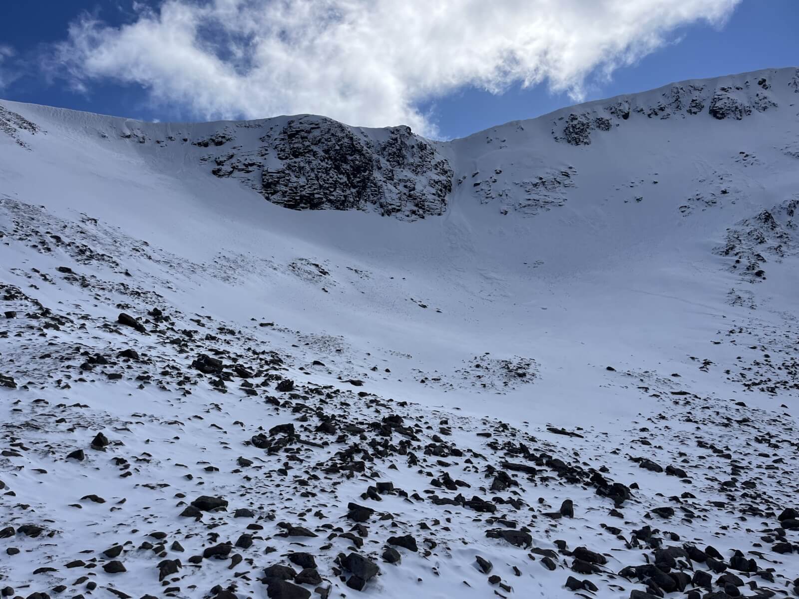
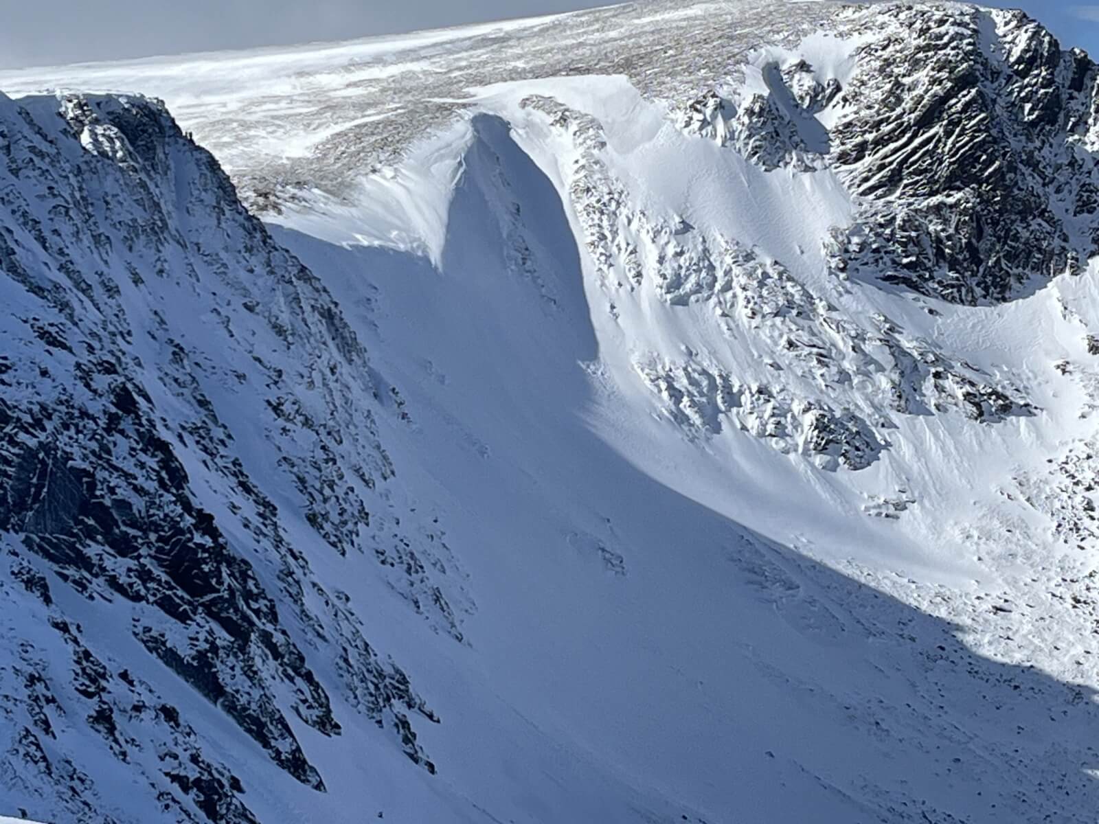
Avalanche debris from the weekend below Jacobs Ladder gully.
Closer look. There were some larger blocks of debris just out of shot which would suggest there had been a rapid accumulation of snow and then some cornice collapse either Saturday or Sunday.
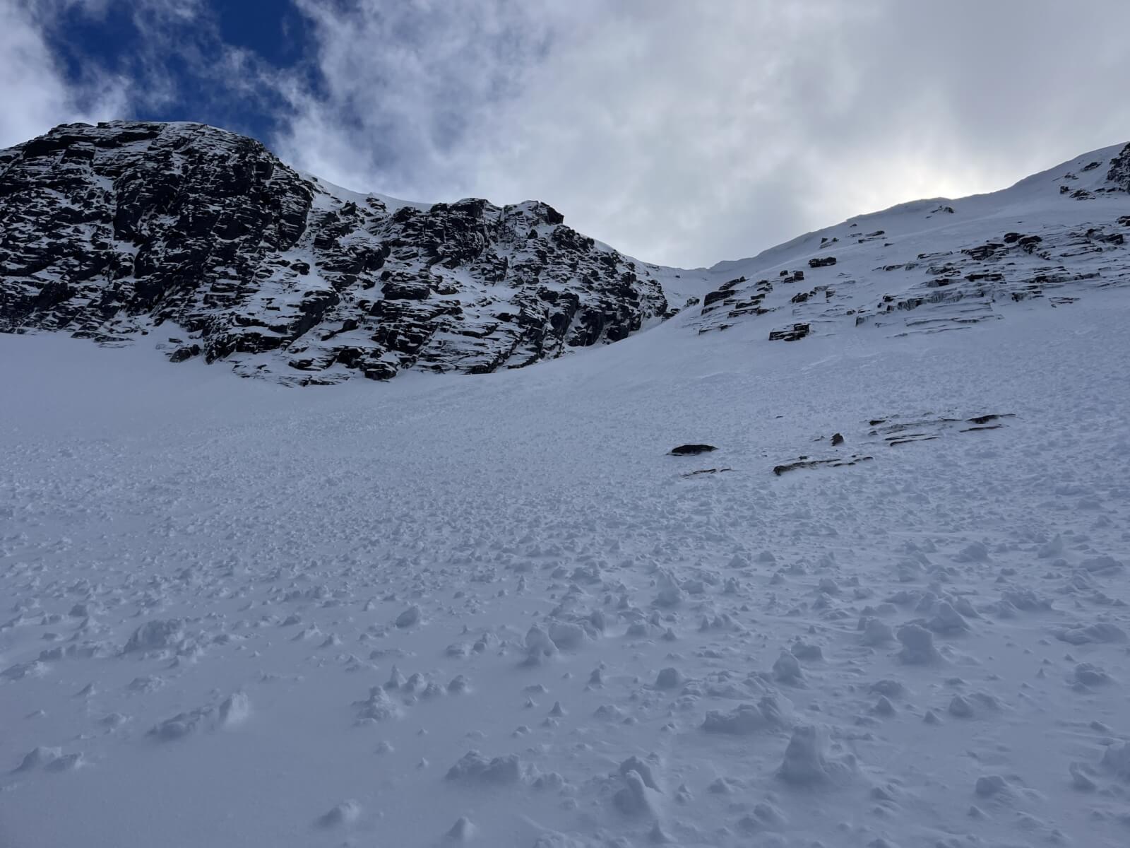
Alladins Buttress and a very snowy goat track.
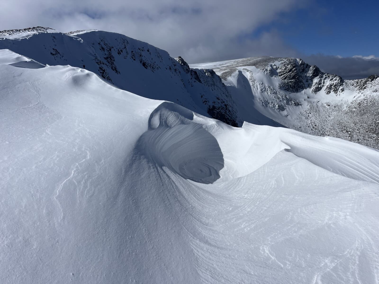
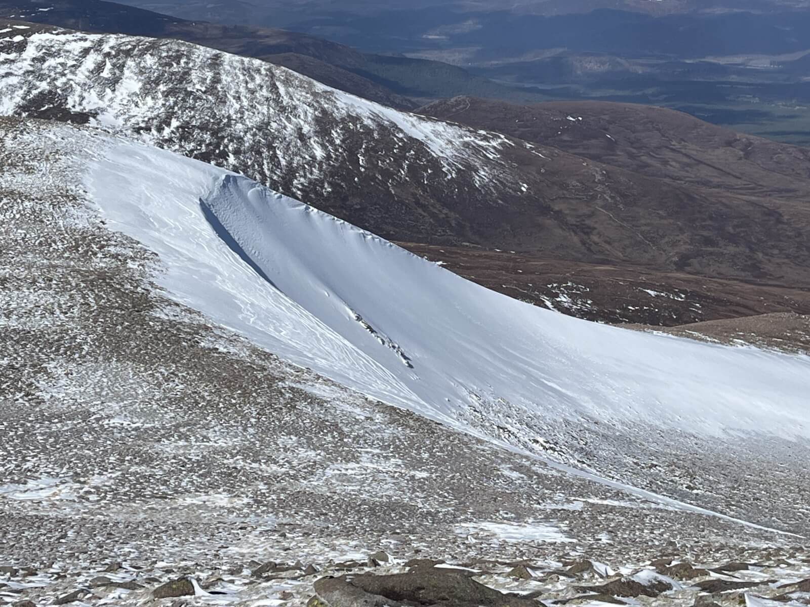
Wind sculpted features on a large snow drift.
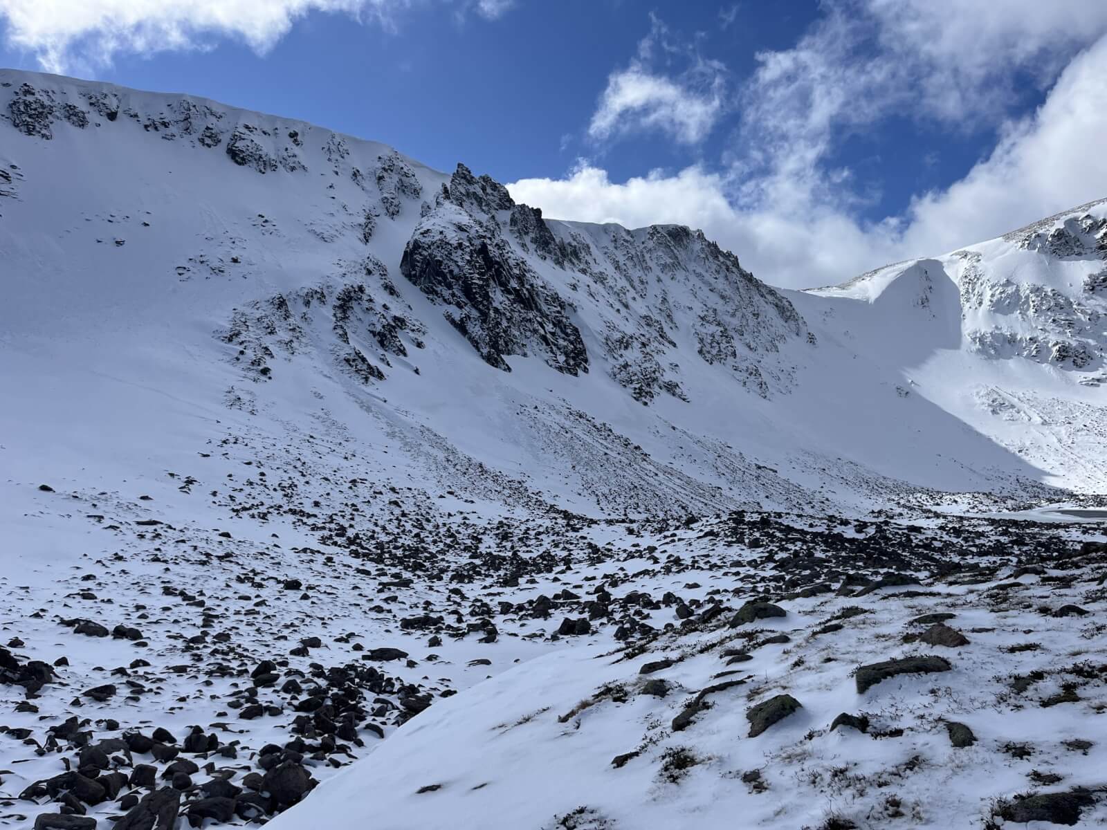
Goat track showing some of the recent accumulations of windslab.
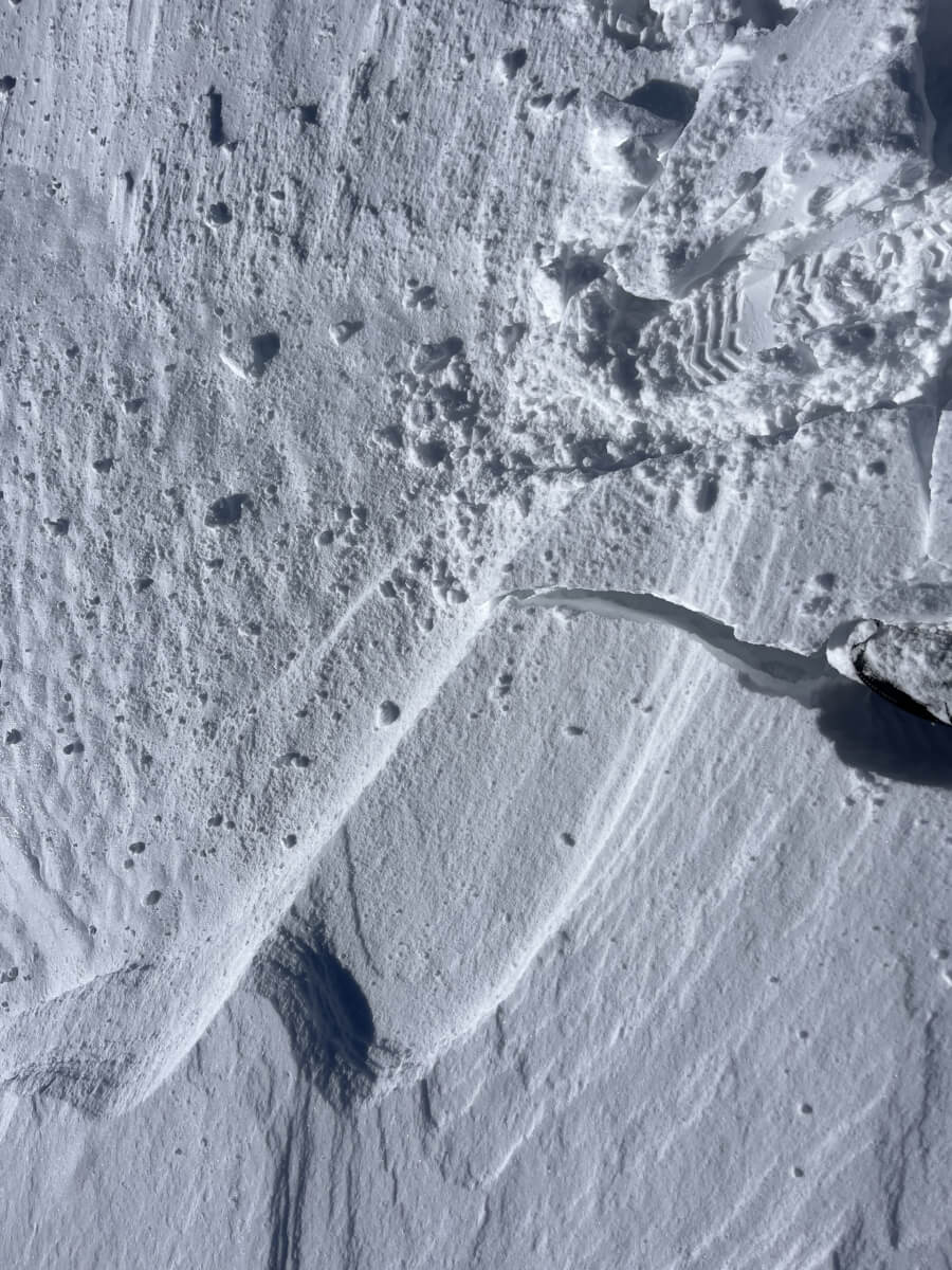
Unstable cracking snow around 1100 metres.
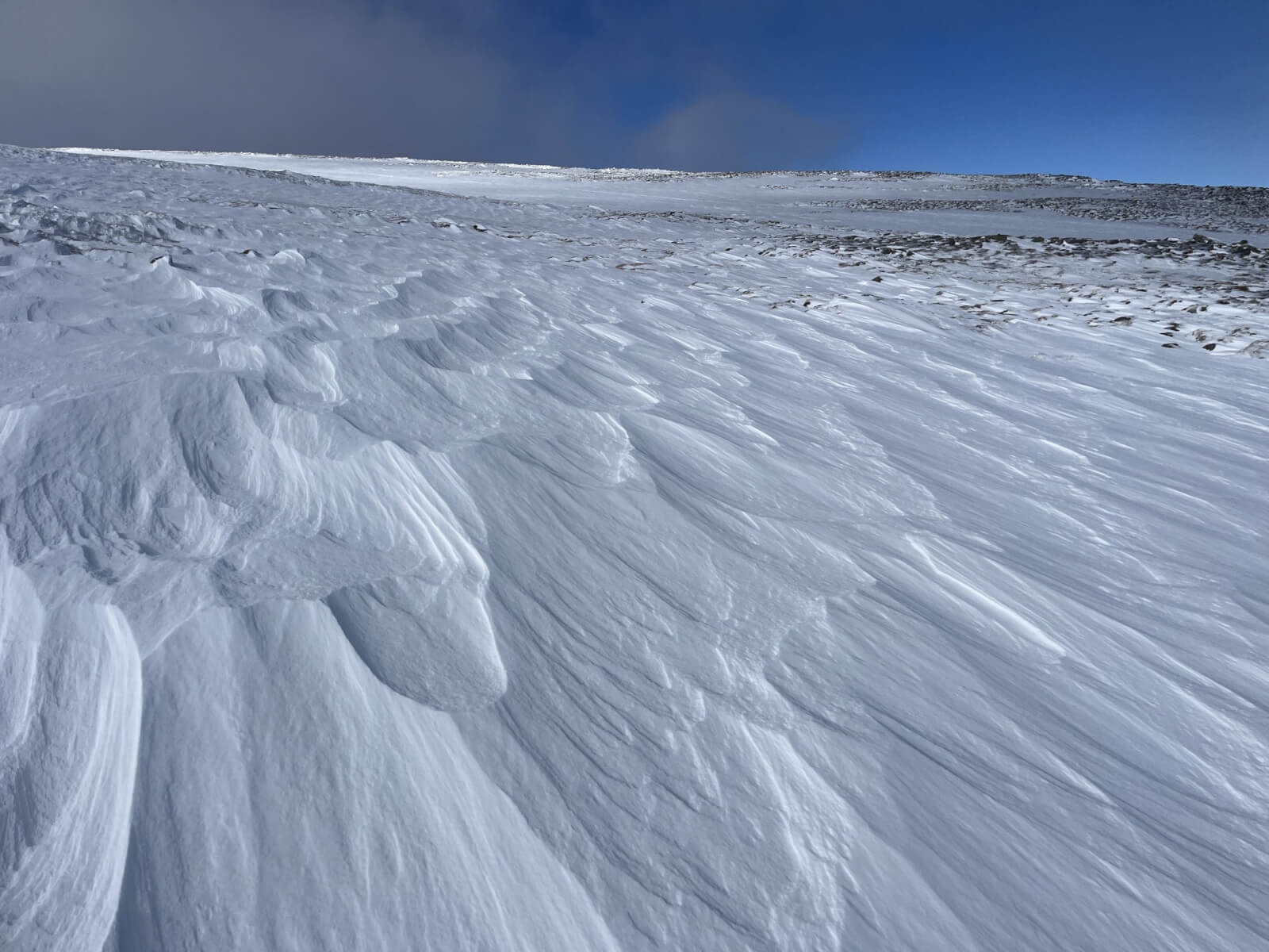
Signs of the recent gale force winds.
Coire Cas from Cairngorm.
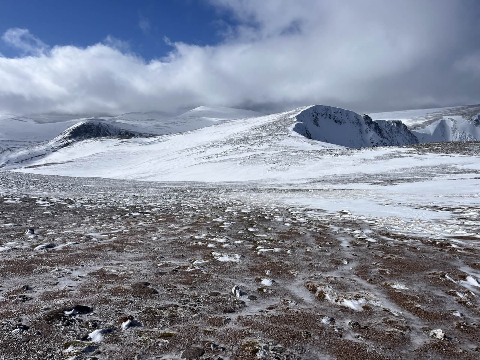
Snow cover on the plateau.
Comments on this post
Got something to say? Leave a comment


