Wet snow and Rain…
4th February 2024
Yesterdays forecast snow amounts did not really materialise in the Northern Cairngorms, with just a trace of new snow above 900 metres. It appears the Cairngorms are receiving less snow than the areas further to the west.
We face the same challenges tomorrow with different model runs showing some variation. Thanks to the Met Office team in Aberdeen, wet snow is expected to be isolated to the highest summits tomorrow. Lower elevations are expected to receive rain.
At the end of this post you will find the ten day trend from the Met Office which was issued on the 31st. Although now slightly dated there is an excellent piece at 5:13 that explains the ‘Multi-model Forecast Confidence Index’. The variation in the model runs usually increases further into the future, but at the moment the reverse is true. Colder weather is expected in the days to come with reasonable confidence, how and just when that transition will take place is still subject to change.
In the mean time a wet and windy day is expected tomorrow, which will present challenging conditions in the mountains.
Remaining cornices, particularly further west in the Northern Cairngorms area, will be prone to collapse. The freezing level is anticipated to drop considerably on Tuesday and Wednesday.

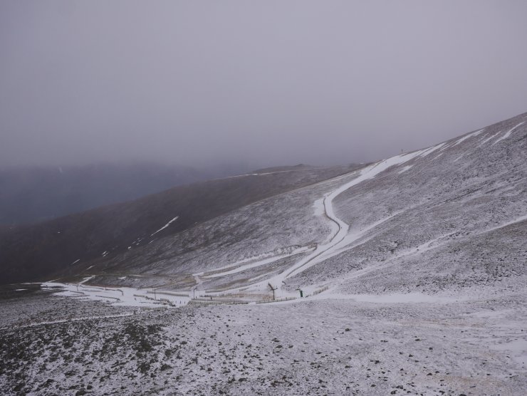
Snow hanging in around the snow fences. Cairngorm Mountain have done a good job moving snow around where they can. Note the trace of new snow above 900 metres.

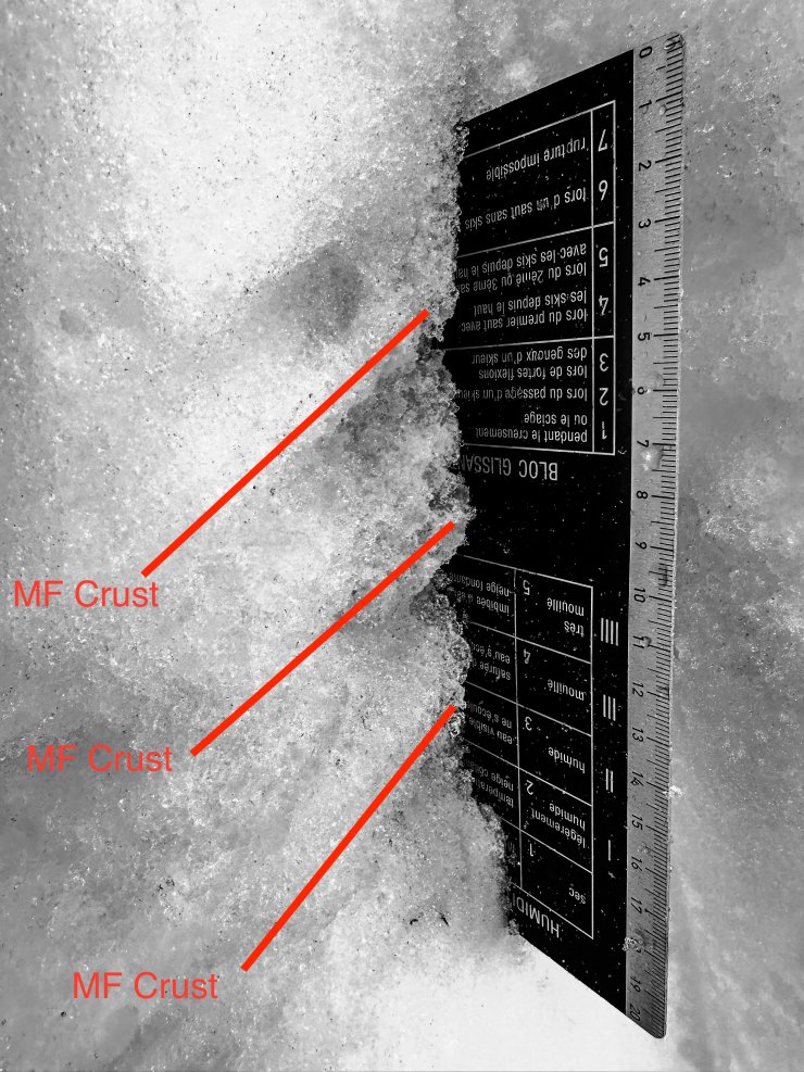
The snowpack at the moment provides a good example of an stable and isothermal profile. The snow temperatures were zero degrees Celsius throughout, indicating that recent rain has percolated through the snowpack. Despite this between 34 and 44cm depth three Melt-freeze crusts are stubbornly hanging in there with soft clustered grains in between. This has little impact on stability at the moment, but is very much in contrast to the firm and sometimes icy snow surface.

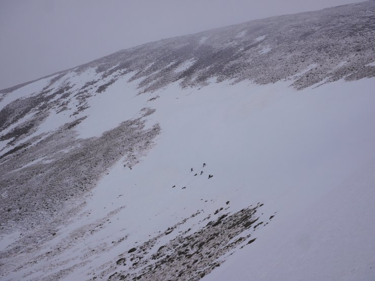
A winter skills party in Coire Cas making use of the firm snow to practice ‘bucket seat belays’ and pitched ascent using a rope.

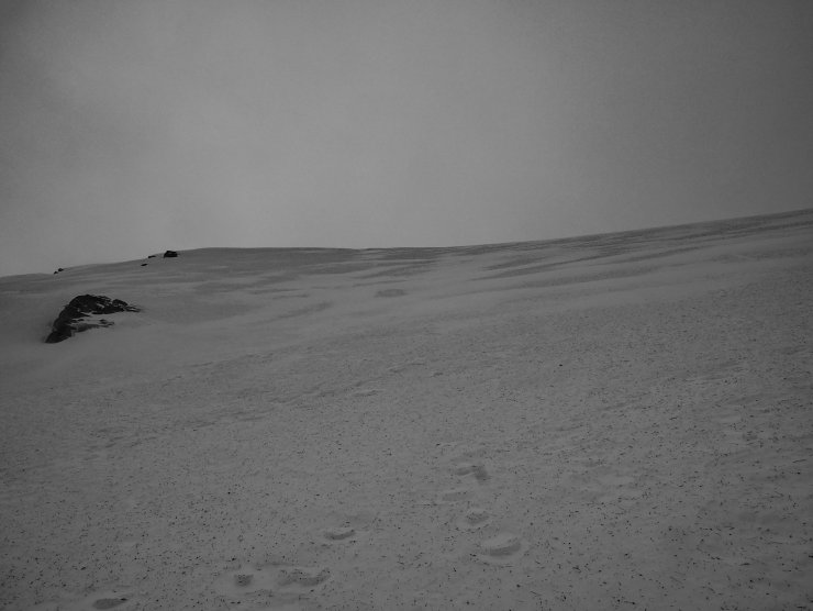
The forecast snow amounts were a little uncertain yesterday, the resulting accumulations on this East aspect were minimal. But that is after all why we go to check…
Comments on this post
Got something to say? Leave a comment


