The ‘Full Monty’
3rd February 2026
The South-Easterly winds continue. Locally known as the ‘Full Monty’ here in the Northern Cairngorms as the wind rips across the plateau areas and accelerates down into the Northern Corries. Often proving windier at mid-elevation than on the high tops. The ‘tell tail’ cloud cap holding over the mountain tops is a sure sign the ‘Full Monty’ is making its presence felt.
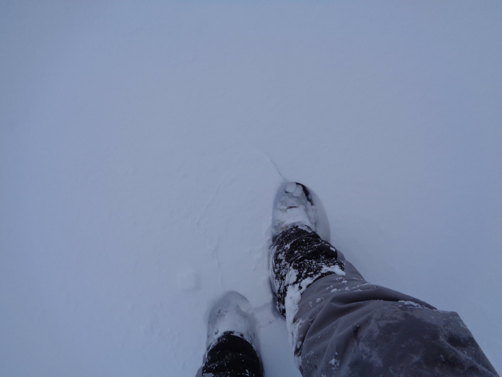
Cairngorm Mountain was stormbound today; snow gates closed all day at the Hayfield. Frequent, light snow showers, winds gusting 50mph at 500m and a freezing level of around 400m. Underfoot conditions at mid-elevation ranged from deep, soft windslab to hard/icy then breakable crust in places. This combined with the gale force winds made getting anywhere slow and tedious.
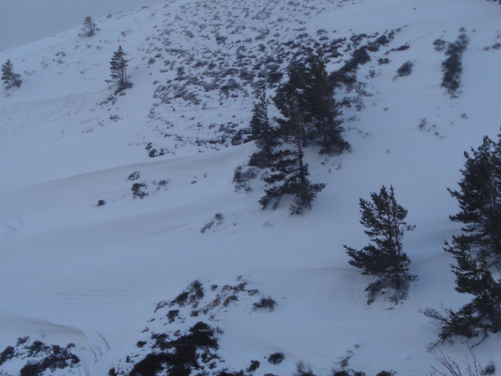
There is a lot of drifting snow, which continued throughout the day. Accumulating in every leeward depression below 800m. Burn lines, gully lines, depressions, convexities, glacial overflow channels (such as the Chalamain Gap) particularly affected. Above 800m West to North aspects will be building considerable amounts of windslab, here avalanches are likely. North-East and South-West aspects are also affected due to cross-loading.
The ‘Full Monty’ continues into Wednesday (and beyond), expect similar conditions.
Fresh wind blown snow, here in the Ciste Gully around 550 meters.
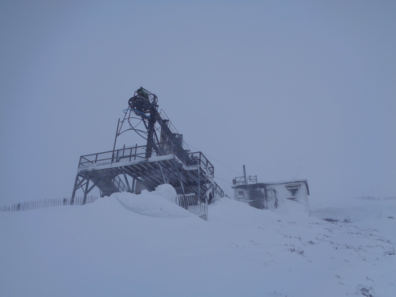
Deep drifts on the leeward side of ski infrastructure. Here the West Wall Poma at 720m.
Propagation (cracking) in the fresh windslab on flat terrain around 600m. A sure sign of instabilities within the snowpack.
Looking across to the west facing Ciste Crag (c650m). A lot of drifting snow here.
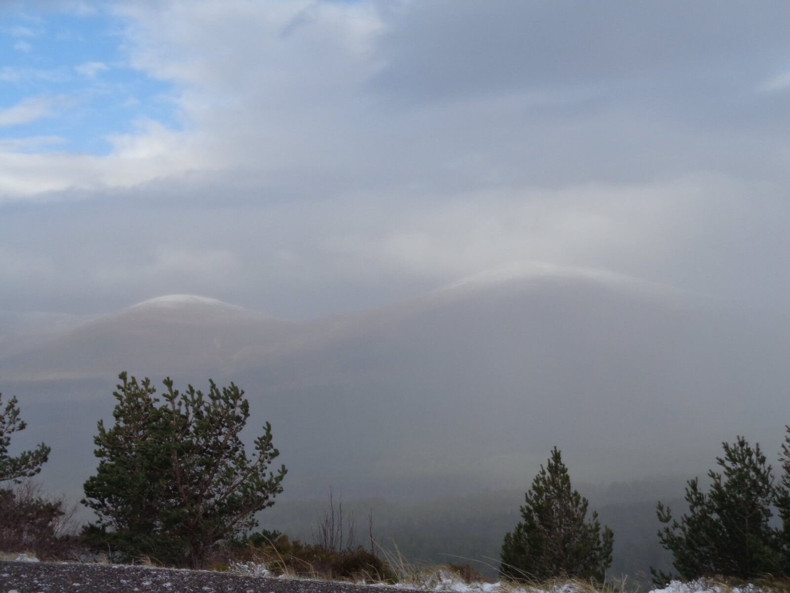
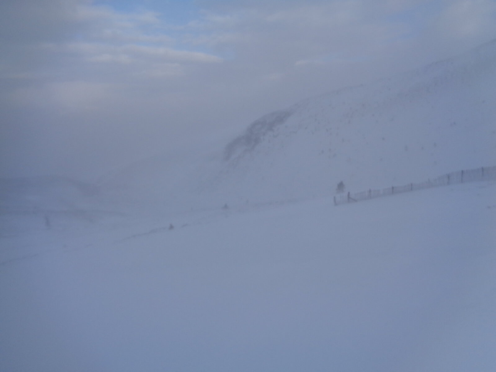
Looking across to Meall a’ Bhuachaille (810m) just visible through the stormy sky.
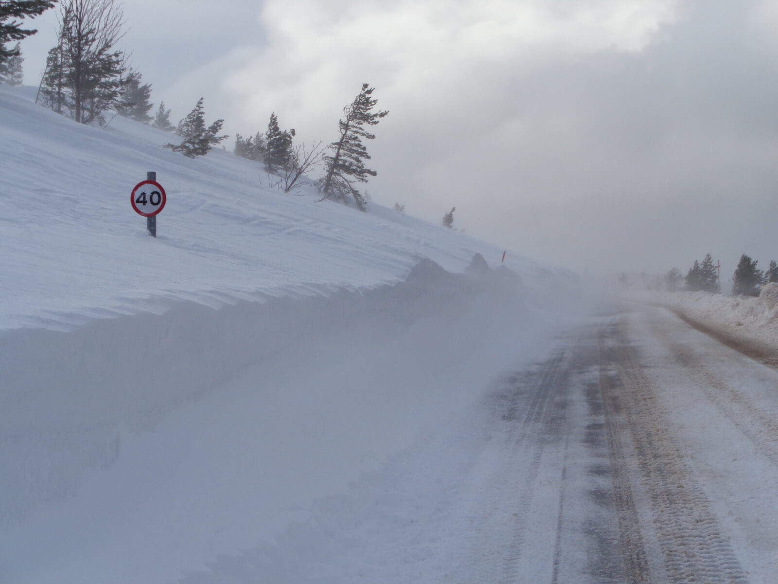
Is that road sign for traffic speed or wind speed?! Photo taken on the ‘link road’ NW aspect 550m. The snow plough had literally just passed and the road was filling in again.
Comments on this post
Got something to say? Leave a comment