Cold with new snow
25th March 2026
Very much a return to winter today. Heavy snow showers overnight and this morning brought new snow to lower levels.
There was around 5 centimetres at Glenmore and most likely a bit more higher on the mountain. Strong West-North-Westerly winds caused plenty of drifting on the mountain and some of the accumulations were knee to thigh deep! The cold temperatures meant stability was not good in the new snow. These windslab accumulations will be unstable, particularly in steep areas where the new snow gains depth and overlies the firm older snow. If the wind backs more southerly as forecast during the afternoon there will be a redistribution of snow, increasing the hazard on Northerly slopes. (see report for more detail.)
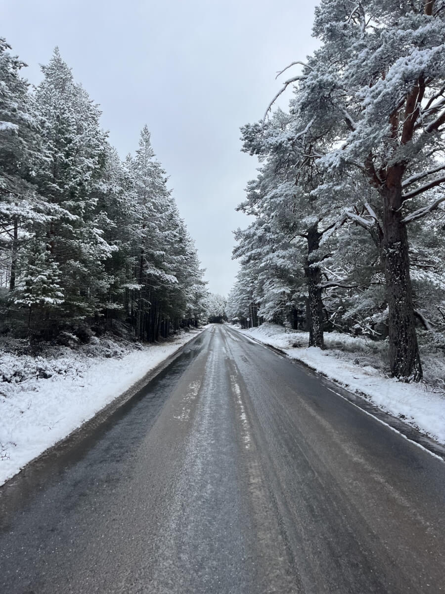
Snow to low levels on the way to Glenmore.
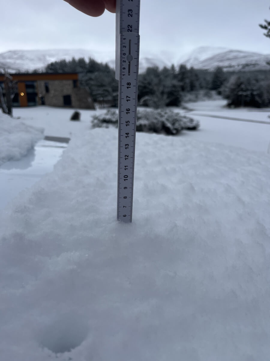
Around 5cm of new snow overnight and first thing this morning.

Thin covering of new snow mostly on bare ground at lower altitudes. Isolated patches of old firm snow still present above around 500 metres.
New soft windslab accumulations showed multiple layers of weakness.
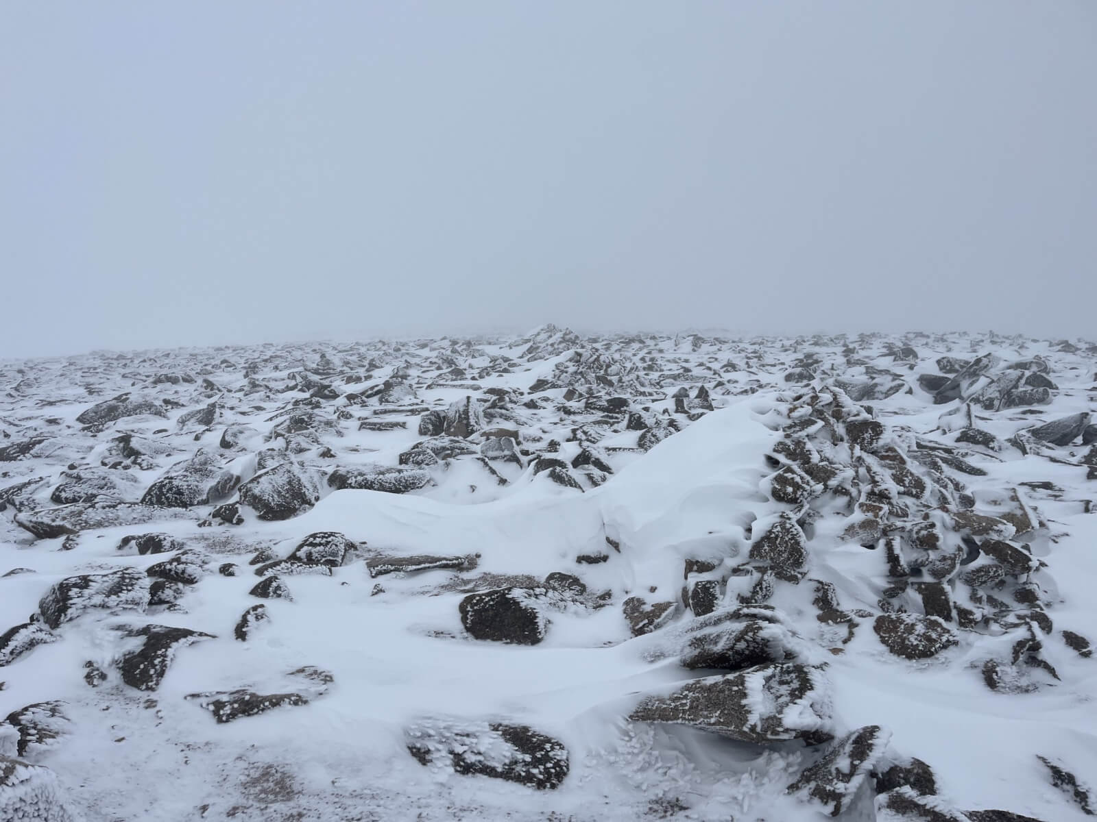
The above hillside is the northerly slopes of Cairngorm. The wind blowing from right to left across the slope has cross-loaded the sheltered side of the cairn, depositing fresh snow. A useful observation which can be representative of similar slope aspects in steep terrain.
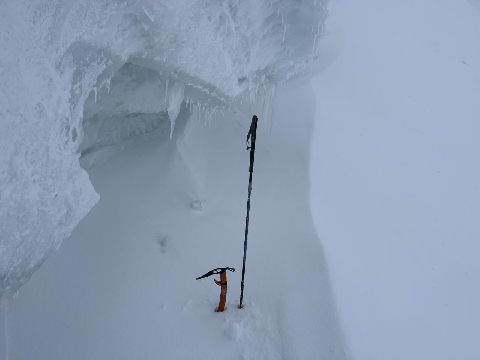
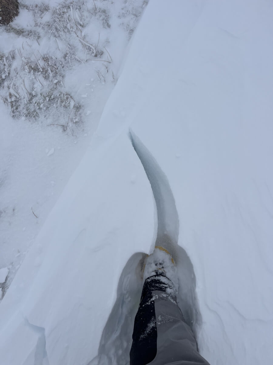
Overhanging icy wind feature at Ciste Mhearad.
Comments on this post
Got something to say? Leave a comment