Fresh snow
12th March 2021
Covid -19
The Scottish Avalanche Information Service issues information to support permitted activity under current Scottish Government guidance.
Please be aware of current mandatory travel restrictions in Local Authority areas within Scotland and respect local communities by referring to Scottish Government guidance and safe route choices for exercise. For further guidance please refer to the following information for hillwalkers and climbers and snowsports on ski and board.
This blog is intended to provide hazard and mountain condition information to help plan safer mountain trips.
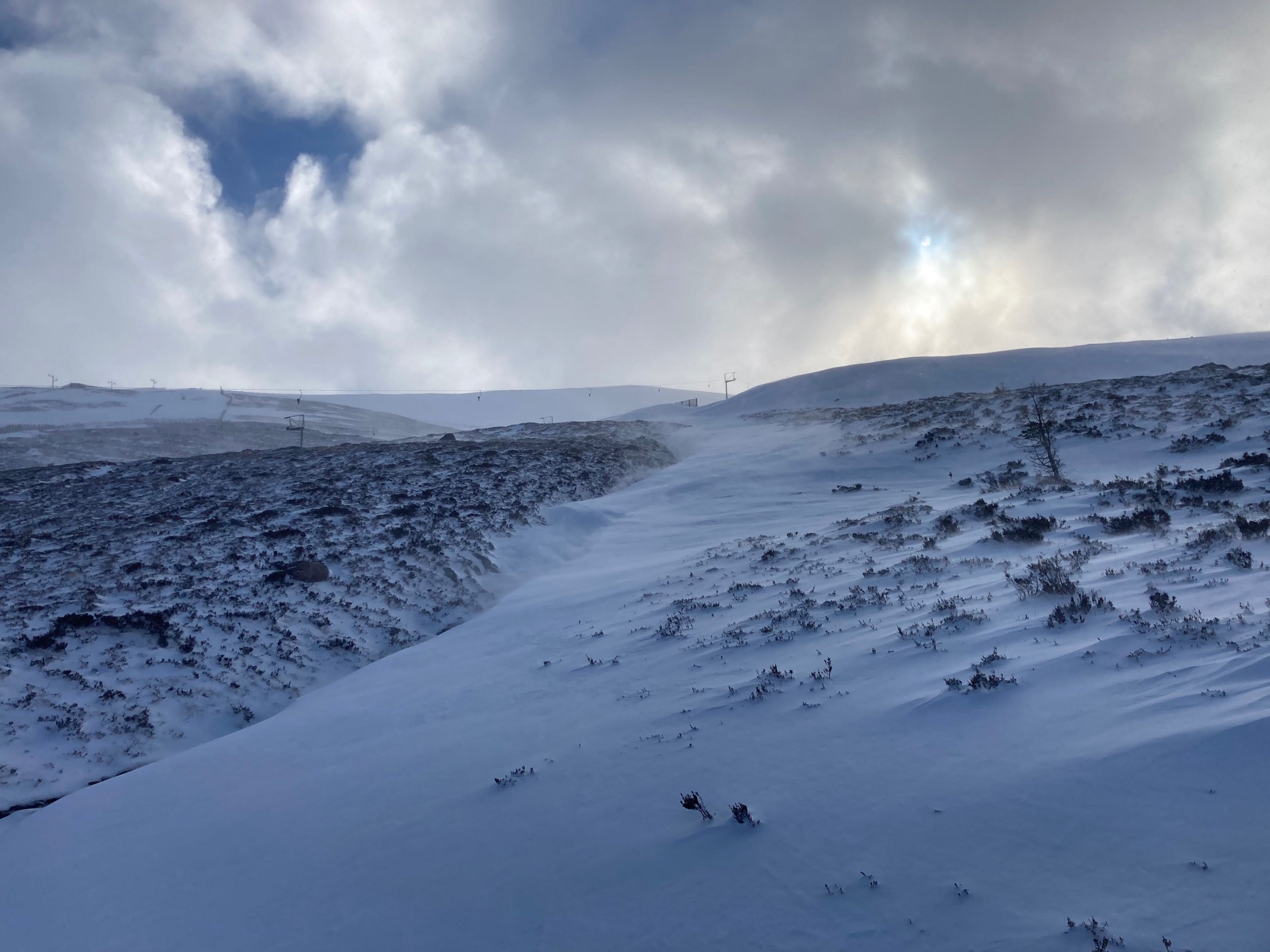
Today was cold and very windy. Fresh snow on strong winds overnight and early this morning have created localised accumulations of windslab in wind sheltered areas on North through East to South-East aspects above 900 metres. As often happens with very strong winds snow has also been blown into hollows and stream beds at lower elevations, many other areas remain firm and icy.

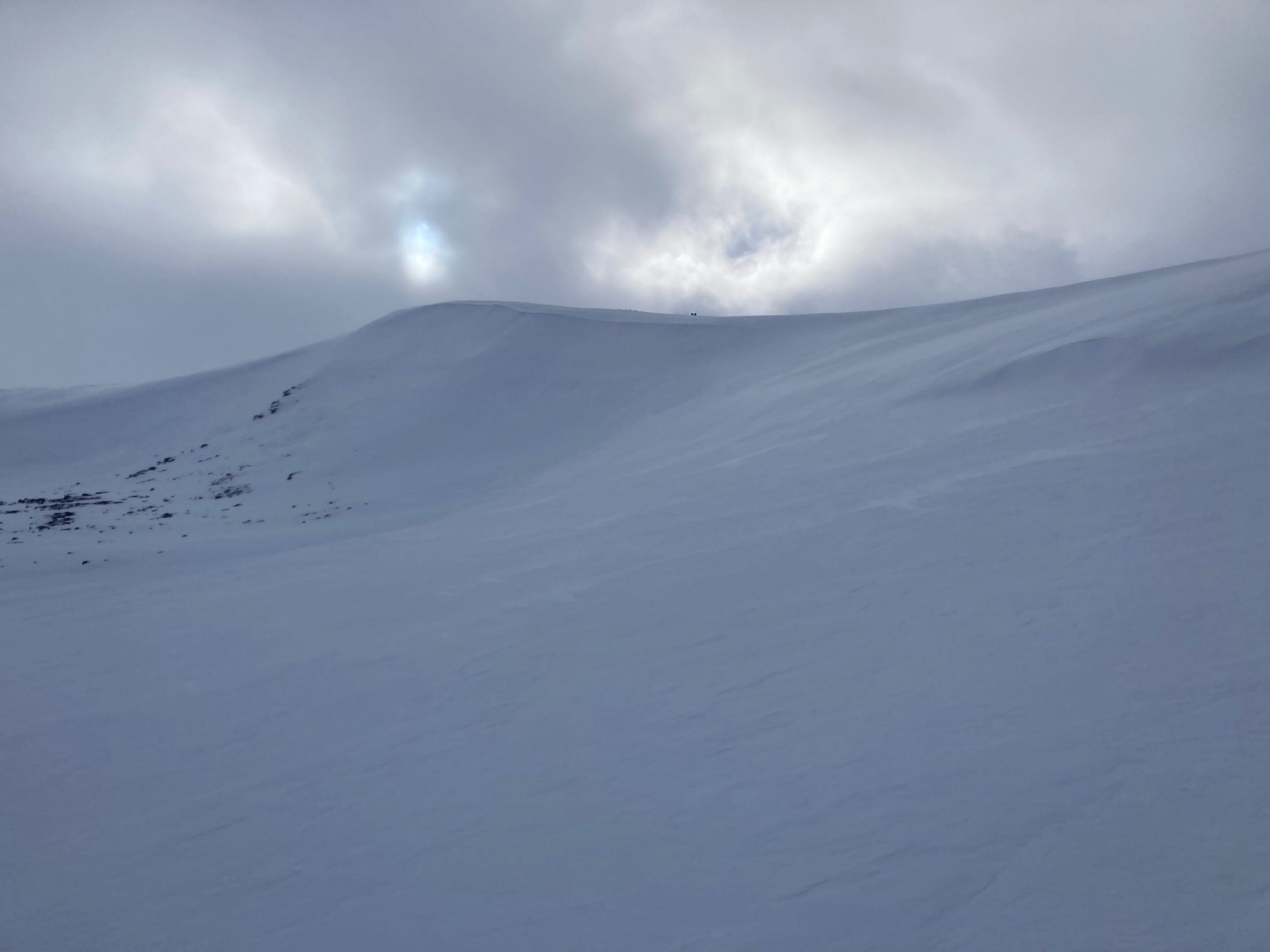
Looking up Fiacaill Coire Cas on a North-East aspect. Accumulations of windslab are present in the foreground, further up windslab accumulations are only present below the ridge line. Lower down the slope above the rocks remains firm and icy.

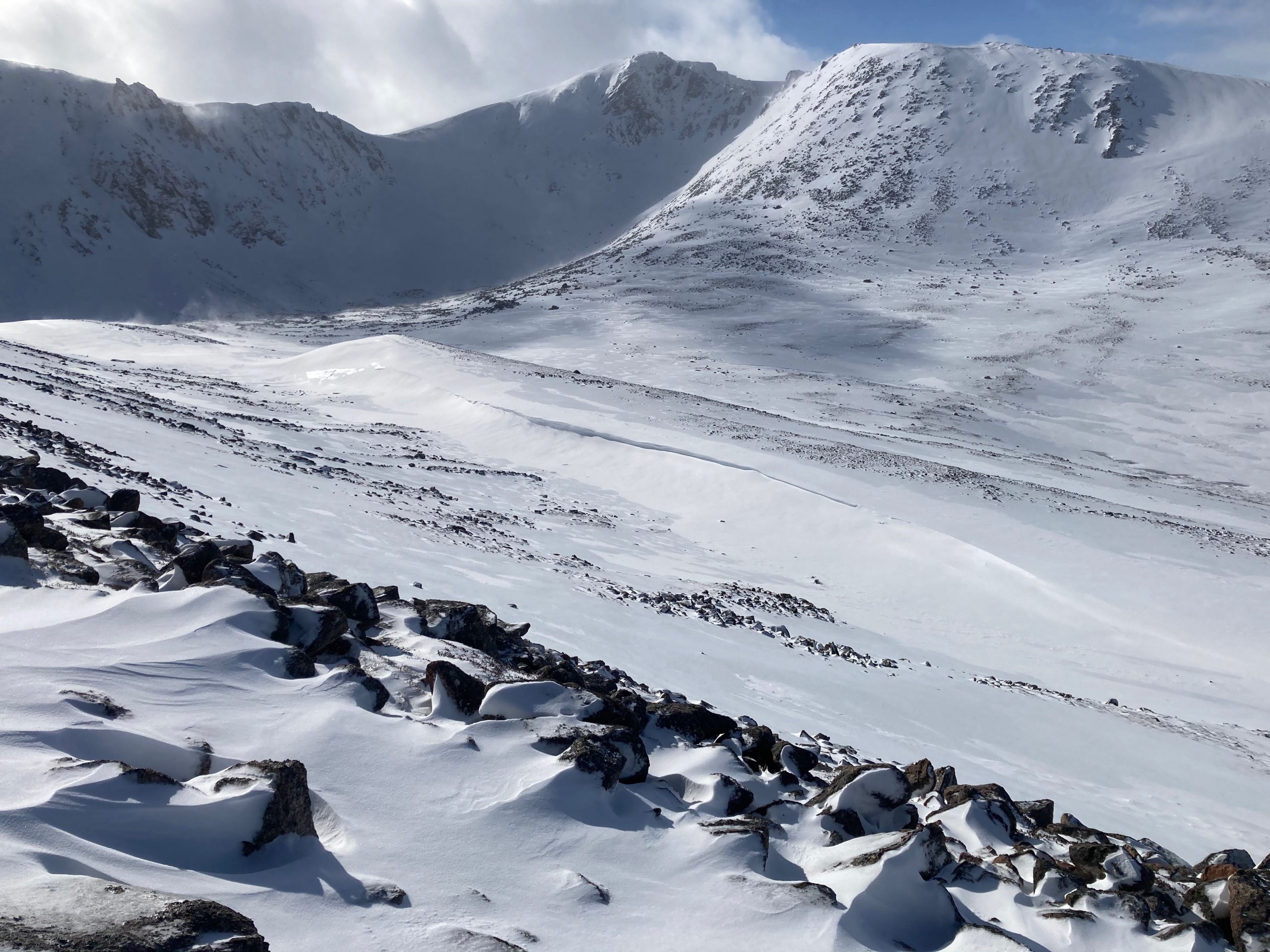
Looking into Coire an t-Schneachda, fresh windslab has been deposited on an Easterly aspect behind the moraines.
Comments on this post
Got something to say? Leave a comment


