WINTER continues. SAIS Weeekend Forecasts issued 29 April -1 May
28th April 2016
Winter continues with significant snow cover above 900 metres in many mountain areas. There will be May weekend forecasts issued in Lochaber and Northern Cairngorms.
Stability is generally good today with moderate instabilities in the most recent accumulations which have formed in wind sheltered places. This is mostly unstable in the surface layers until shortly after deposition has stopped ( either wind or snowfall ceases ),  during dynamic periods newly depositing snow does not get the chance to stabilise because new grains continue to accumulate, have not bonded to each other or to differing surface layers. At this time of year though, due to the increased solar radiation as the sun is higher in the spring sky, the snowpack will usually start the bonding process in hours rather than days, which is is the case mid winter.  Any potential instabilities therefore will be in steep high places above 1000 metres where the snow has recently drifted and formed convex shapes or where the angle is above 30 degrees. Any triggered avalanches are not expected to be generally large but they have the potential to carry a person over and into rocky terrain, or into confines lower down the slope, all these features are known as terrain traps and unfortunately will amplify the effect of an avalanche.
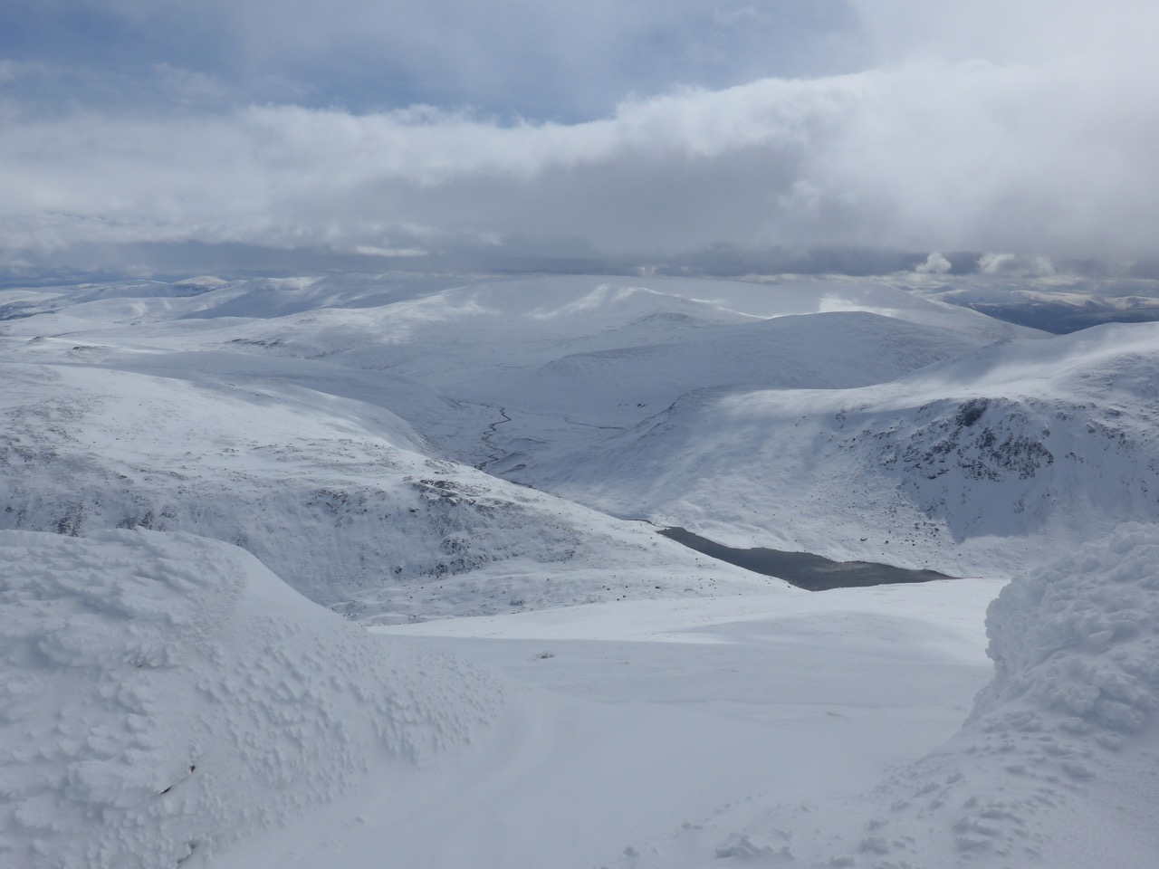
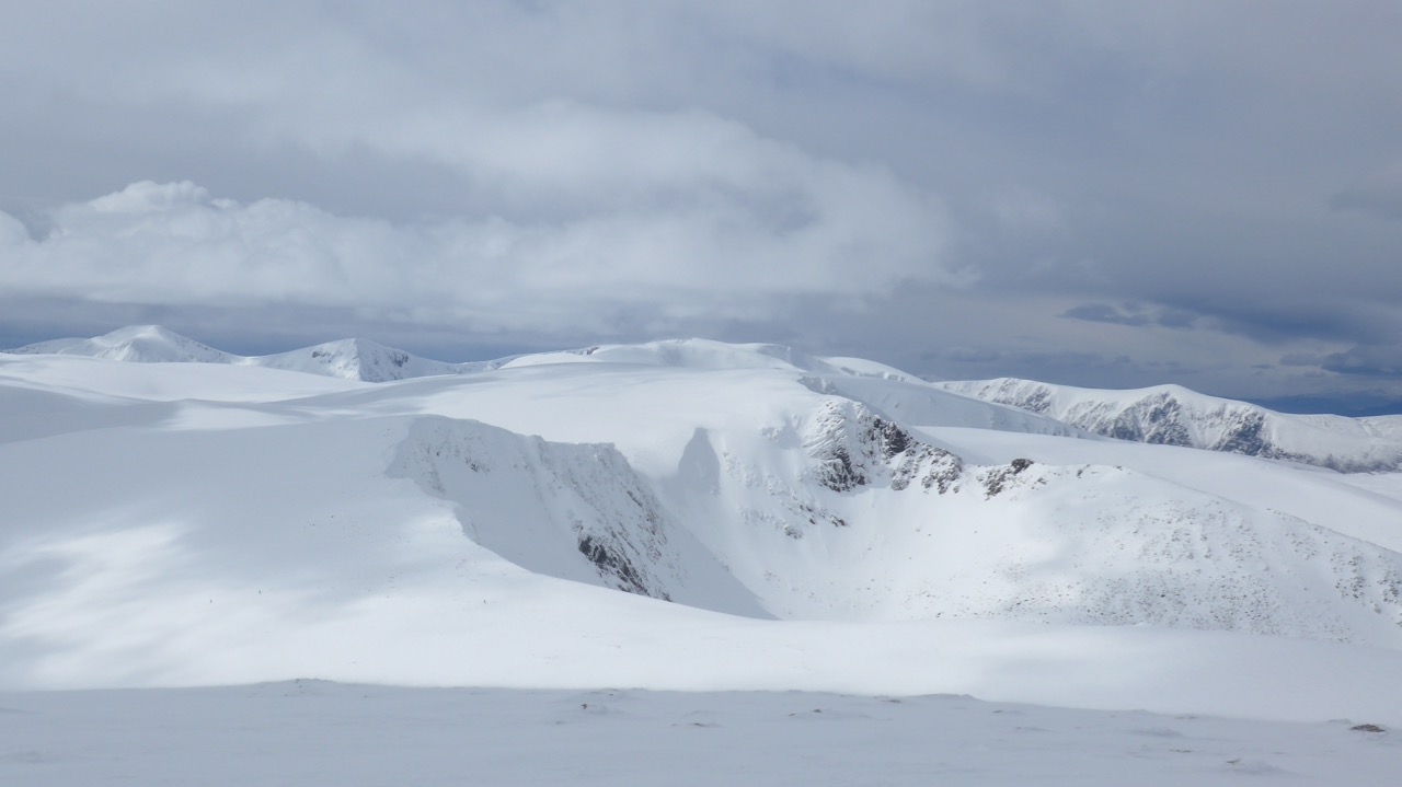
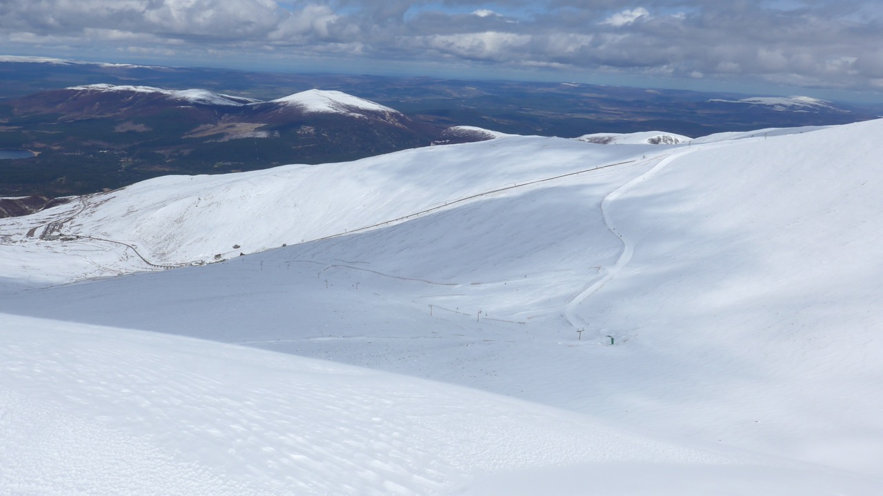
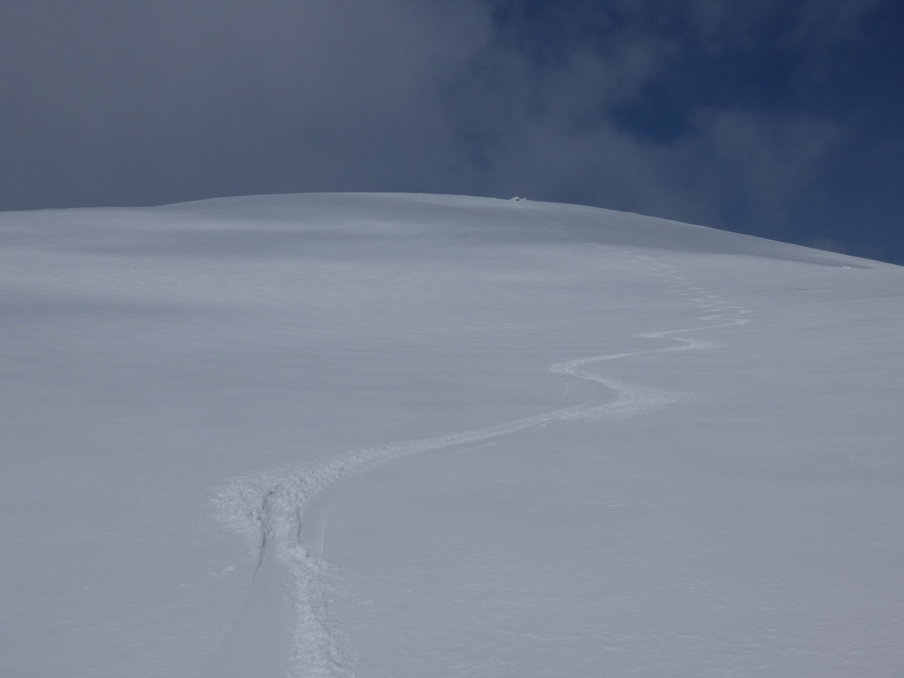
So even though it is spring and any avalanche hazard will be moderate and in very limited places  it is still worth keeping on your winter head! having said this, the snow cover is truly amazing, with soft powdery snow on a firm base and extensive snowfields above 1000m as the pics below will show you. So, get out into the hills over the weekend these conditions are rare !

Cairngorm Panorama, with Beinn Mheadhoin on the L. Derry Cairngorm, Ben Macdui, Cairntoul, Braeriach beyond the Cairngorm plateau and the Northern Corries.
Comments on this post
Got something to say? Leave a comment


