A Refreeze with New Windslab developing
20th February 2020
A refreeze after rain to summits which wetted the snowpack has resulted in many areas becoming very firm and icy. Reasonable visibility for a time in the morning provided some dramatic views.  Very stormy with heavy drifting started to develop new unstable windslab accumulations, becoming more  significant in the afternoon with  the  heavy snowfall.

looking toward Bheinn Mheadhoin from Cairngorm

Changing light on Bhein Mheadhoin
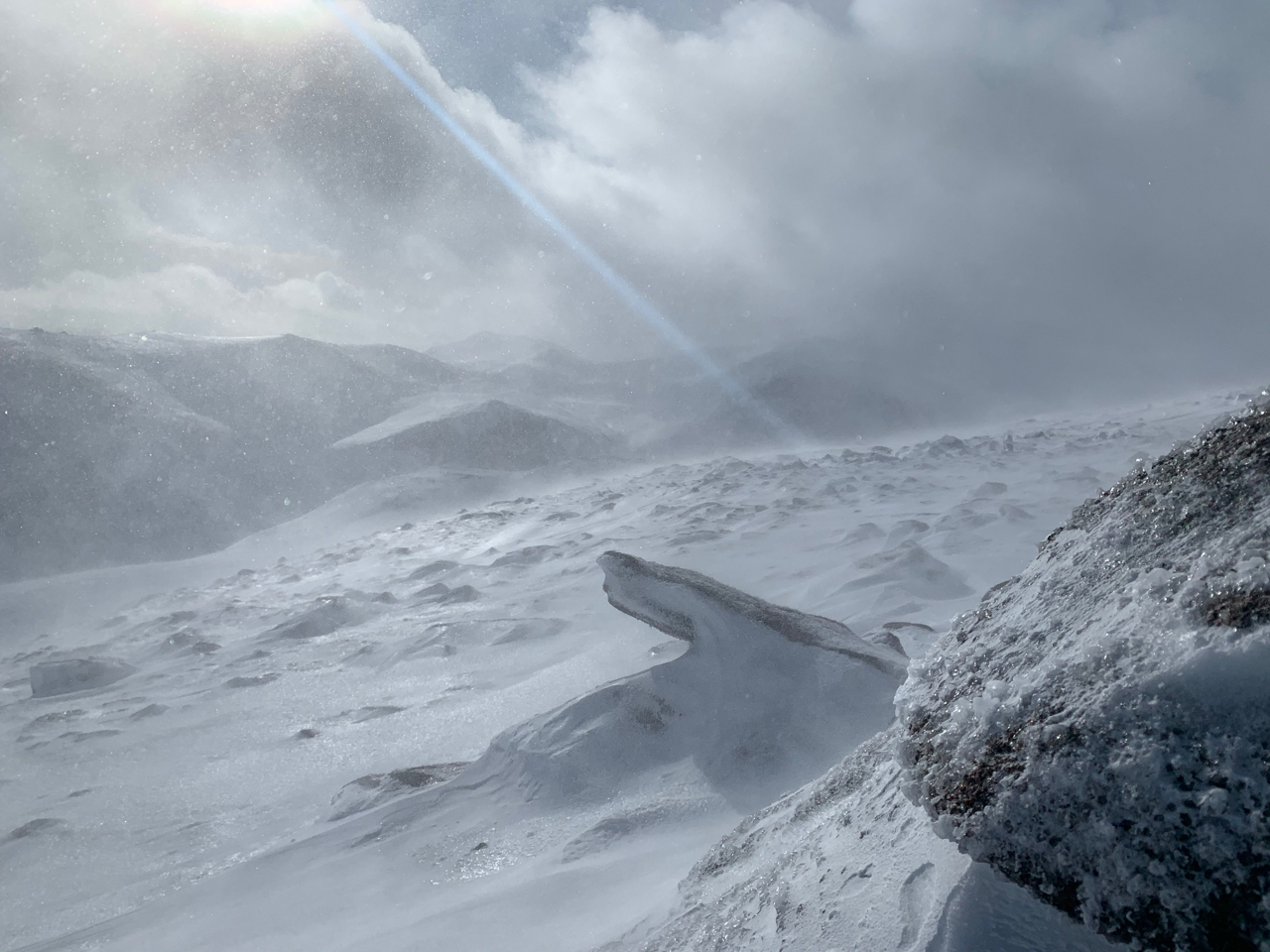
Looking toward Carn Etchachan

An afternoon view of the Cairngorms from Loch Morlich before the onset of heavy snow.
Comments on this post
Got something to say? Leave a comment


