A promising start
3rd November 2020
A standby avalanche forecast service will be provided for the Northern Cairngorms and Lochaber regions during the months of November and early December. When significant winter conditions are present, SAIS avalanche forecasters will carry out field observations and produce avalanche hazard reports for publication on the SAIS website. Daily Avalanche Information Reports for the 6 operational areas of Lochaber, Glencoe, Creag Meagaidh, Southern Cairngorms , Northern Cairngorms and Torridon regions will be issued from Friday 11th Dec 2020.
A dusting of snow overnight has left the mountains looking white down to around 750 metres. This is largely superficial here in the Northern Cairngorms, although deeper drifts were described at higher elevations on Cairngorm itself.
It looks like the western fringes of the Northern Cairngorms forecast area around Glen Feshie have most likely caught a bit more snow. Creag Mhigeachaidh looked particularly white from the A9 (with snow down to ~700m).
Winter may however be short lived with a gradual warming in temperatures into the weekend.

A good start – The Northern Corries from Loch Morlich
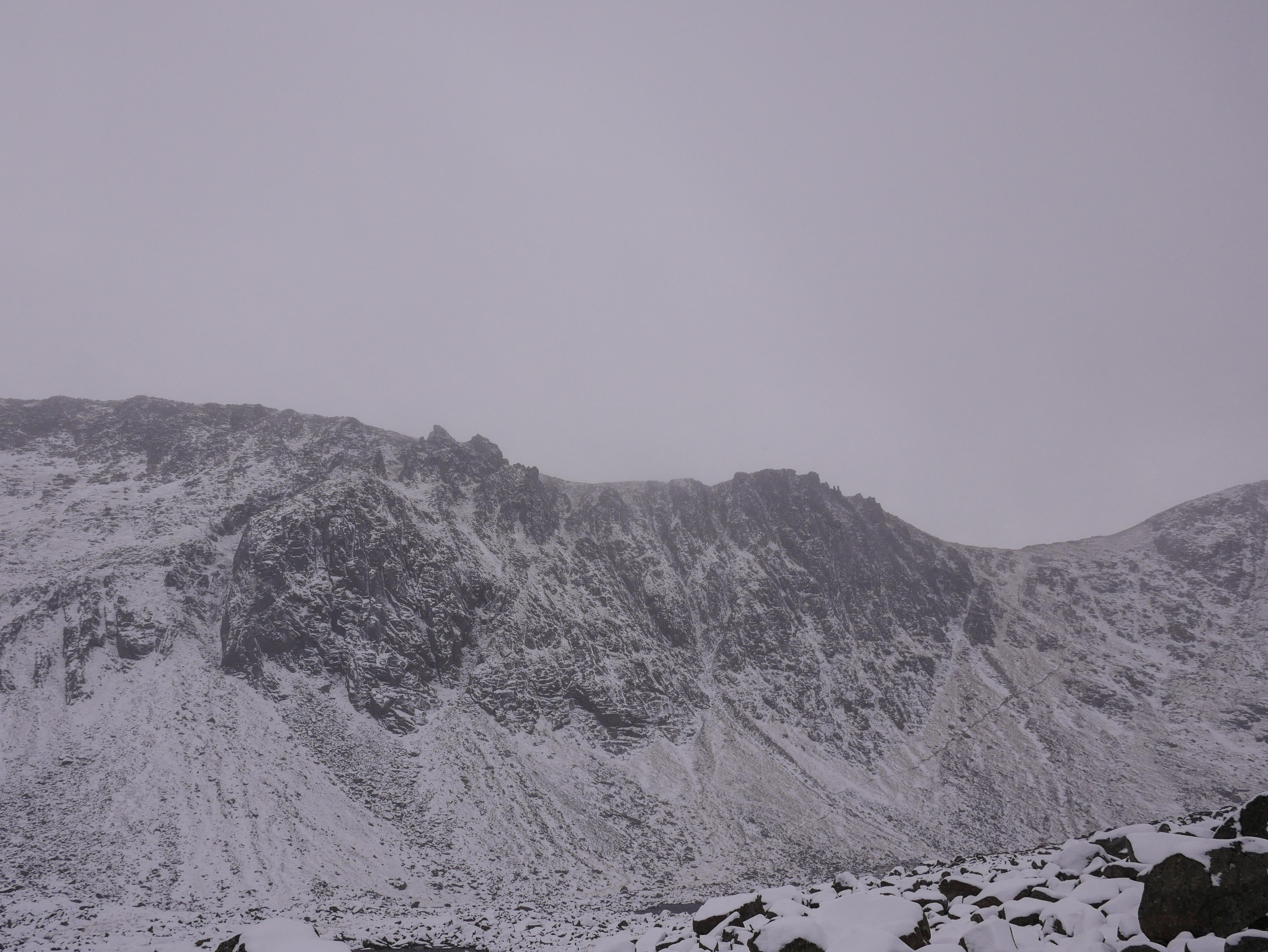
The cliffs of Coire an t-Sneachda – A superficial covering of snow at the moment but nice to see in November.
View into Coire Cas from the bottom of the tows. The snow fencing doing its job in todays westerly winds.
Comments on this post
Got something to say? Leave a comment


