Infernal today calmer tomorrow
26th December 2021
The day started with storm force South-South-Easterly winds again today, although they did ease slightly later. The gentle glacially scoured curves of the Cairngorm plateau result in a shape well designed to accelerate the winds to infernal speeds. Today was no exception, the car park at Coire Cas resembling a rather uncomfortable wind bowl.
The high winds have extensively scoured any snow, even on the downslopes that are normally considered lee aspects. This has resulted in isolated accumulations of windslab in the most sheltered of locations, such as the tops of gullies, scarp slopes and coire rims.
Although isolated, the windslab is weak and fails easily, and looks and behaves remarkably like that experienced on the 24th December and seen here in this short video. Northern Cairngorms 24-12-21. 1100m, W aspect 1230hrs.
With cold temperatures aloft, this situation is unlikely to change much, so it is worth being cautious in steep locations as we enter a spell of improving weather tomorrow.
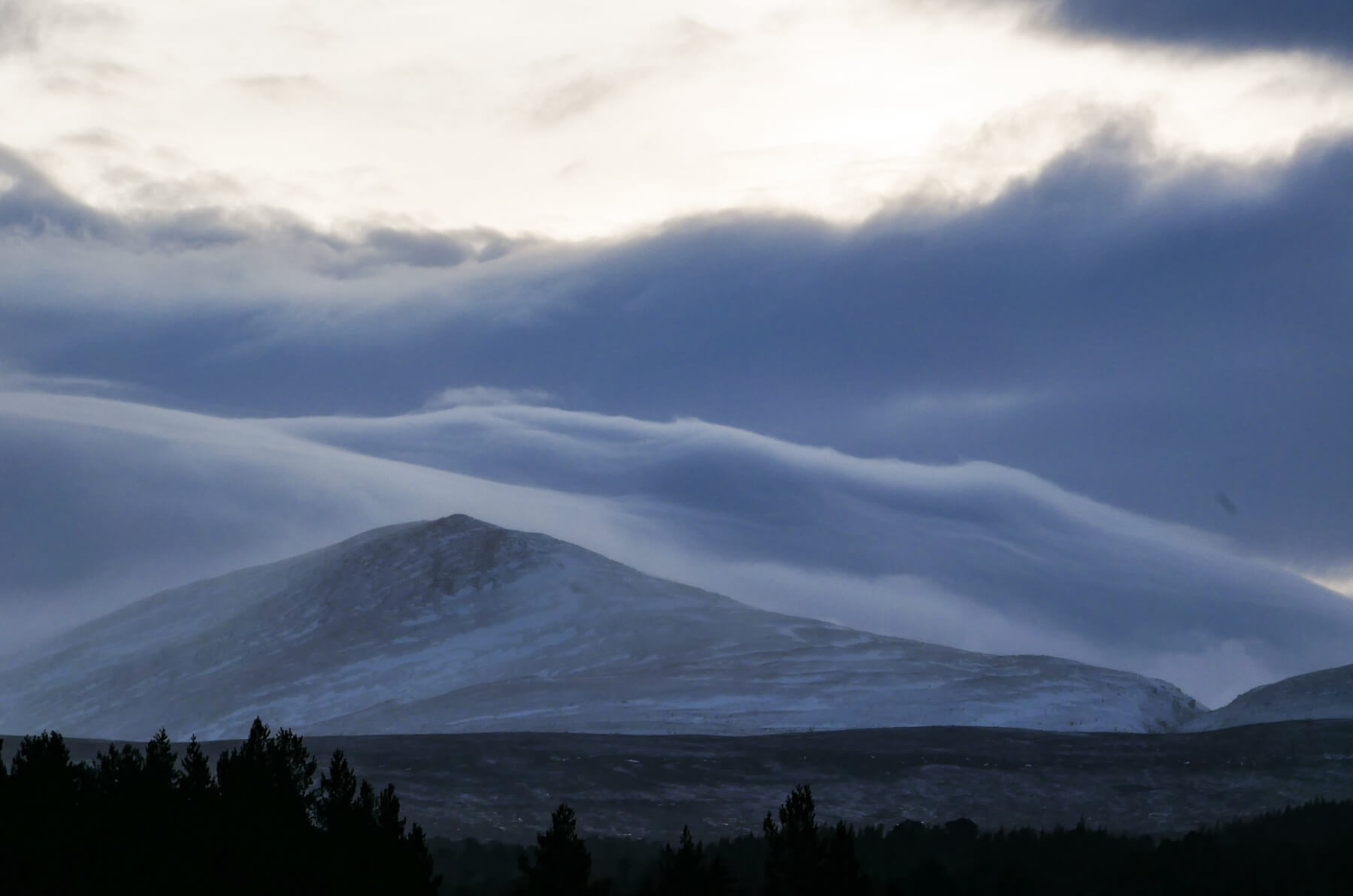
Cloud flowing down over the flanks of Creag Leith-choin. The Chalamain Gap visible on the far right of the image.
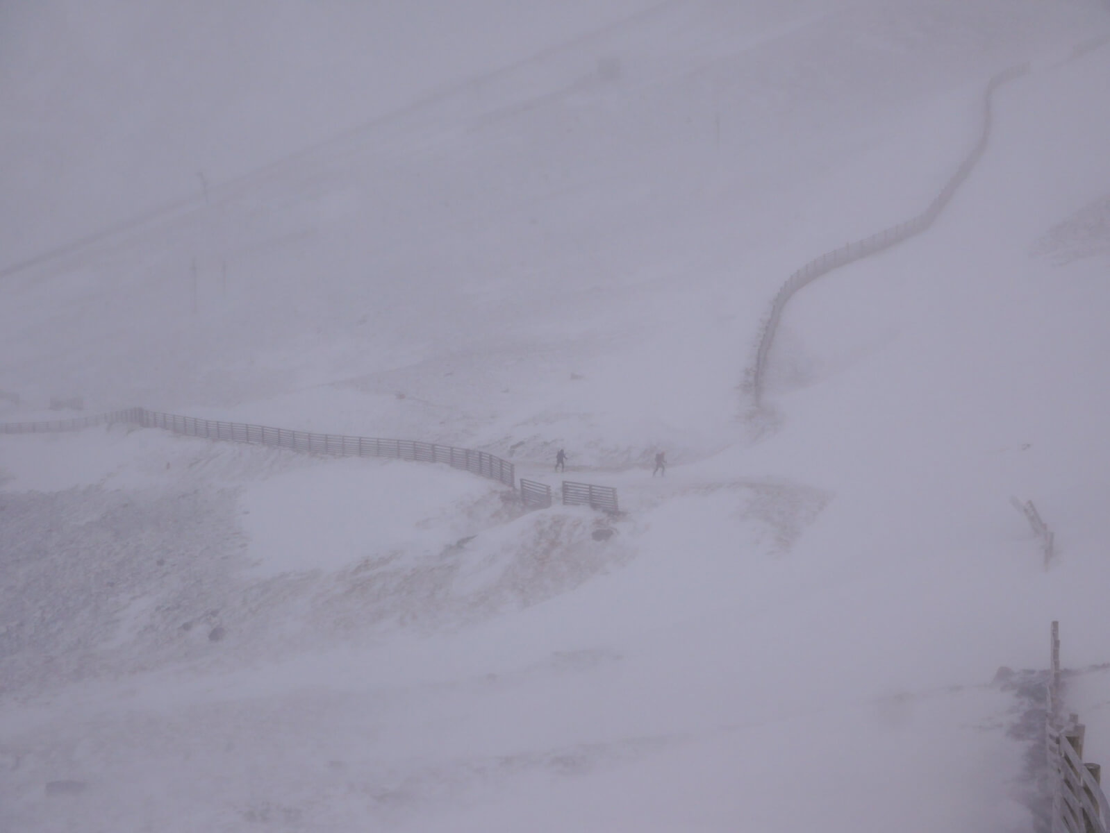
Some skiers braving the conditions. A good Boxing Day work out bracing against the wind.
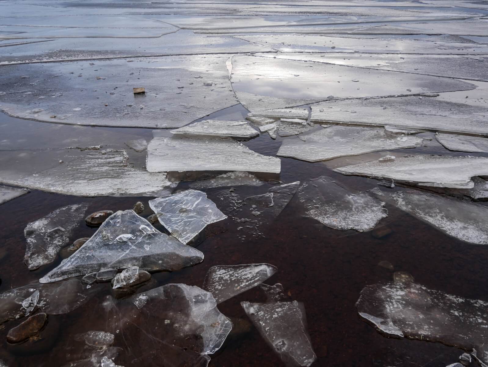
Ice on Loch Morlich
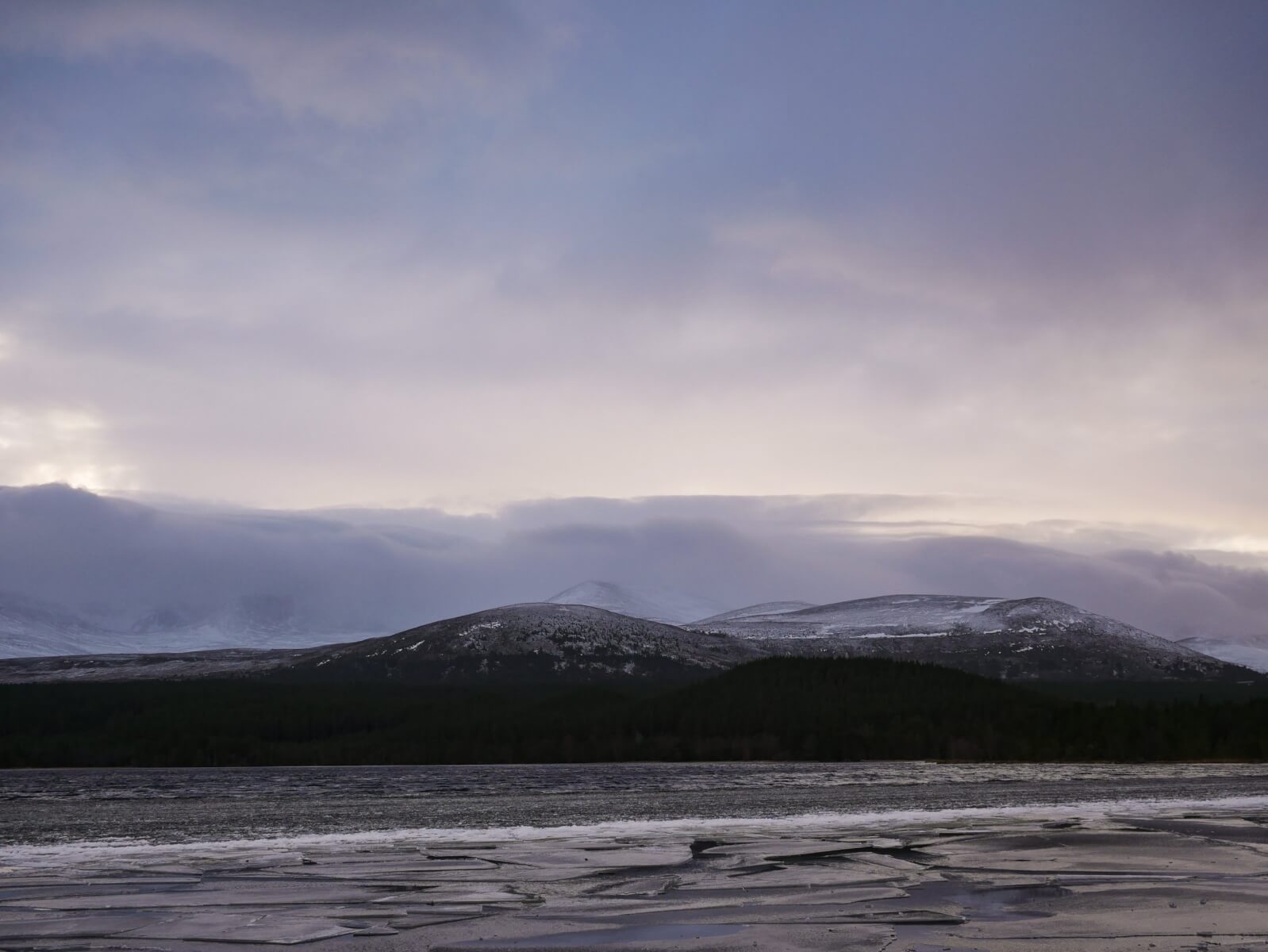
Capping cloud over the Northern Cairngorms – indicative of the windspeed.
Comments on this post
Got something to say? Leave a comment


