Drifting snow and unstable windslab
7th January 2022
Today was a clearer day with moderate Westerly winds and drifting snow. There is significantly more snow than when we could last see the hills and windslab has formed in wind sheltered locations. Â The fresh windslab is very weak due to cold temperatures and there is a soft layer underneath. Cracking in the snowpack also indicates instability as shown in the pictures. Further snowfall is due on strong Southerly winds in the early morning, which will add to the existing windslab.

A crack from the footsteps of a walking party near the edge of the ridge of Fiacaill Cas  today. The crack extended about 20m up the hill from the footsteps. A sign of significant instability, luckily the slope below didn’t avalanche.Â
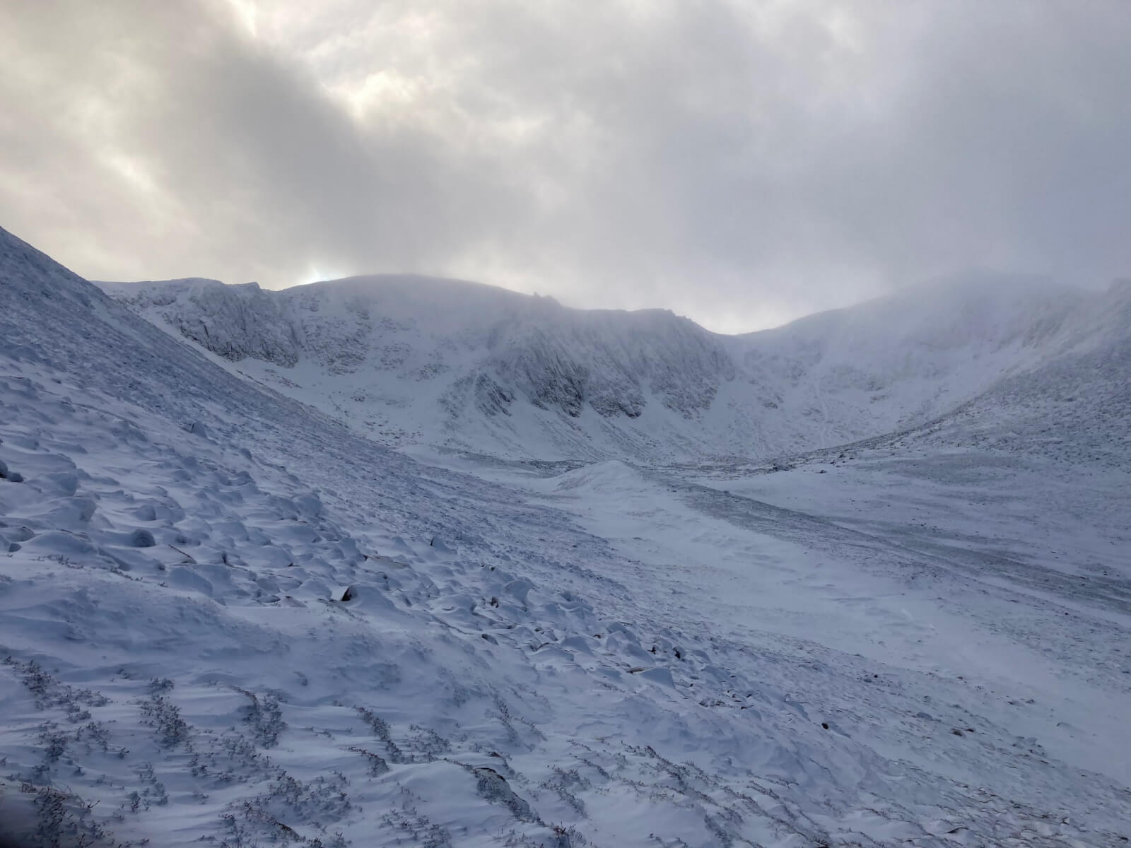
Looking into Coire an t-Sneachda, some areas are scoured, however windslab in gullies, around coire rims and some crag aprons is all very weak.
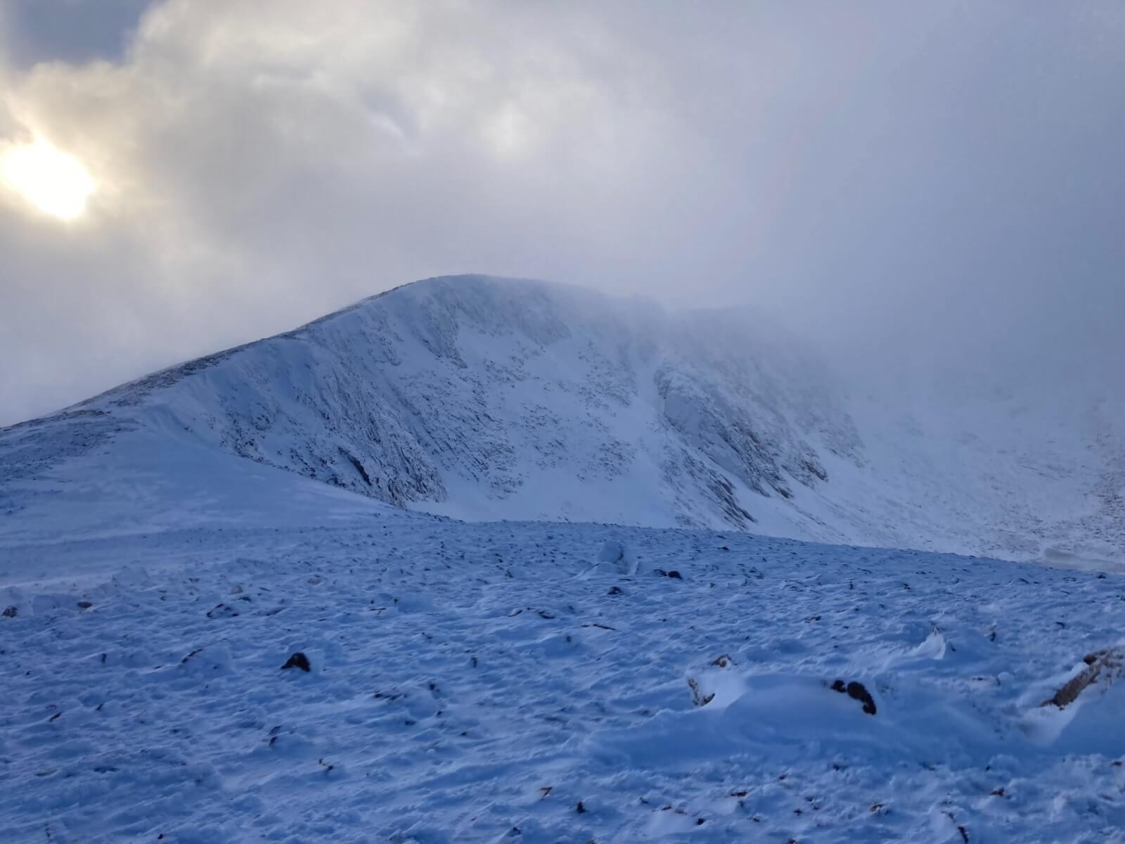
Looking at the tops of some of the Schneada crags.

Fiacaill cas with significantly more snow than 2 days ago.
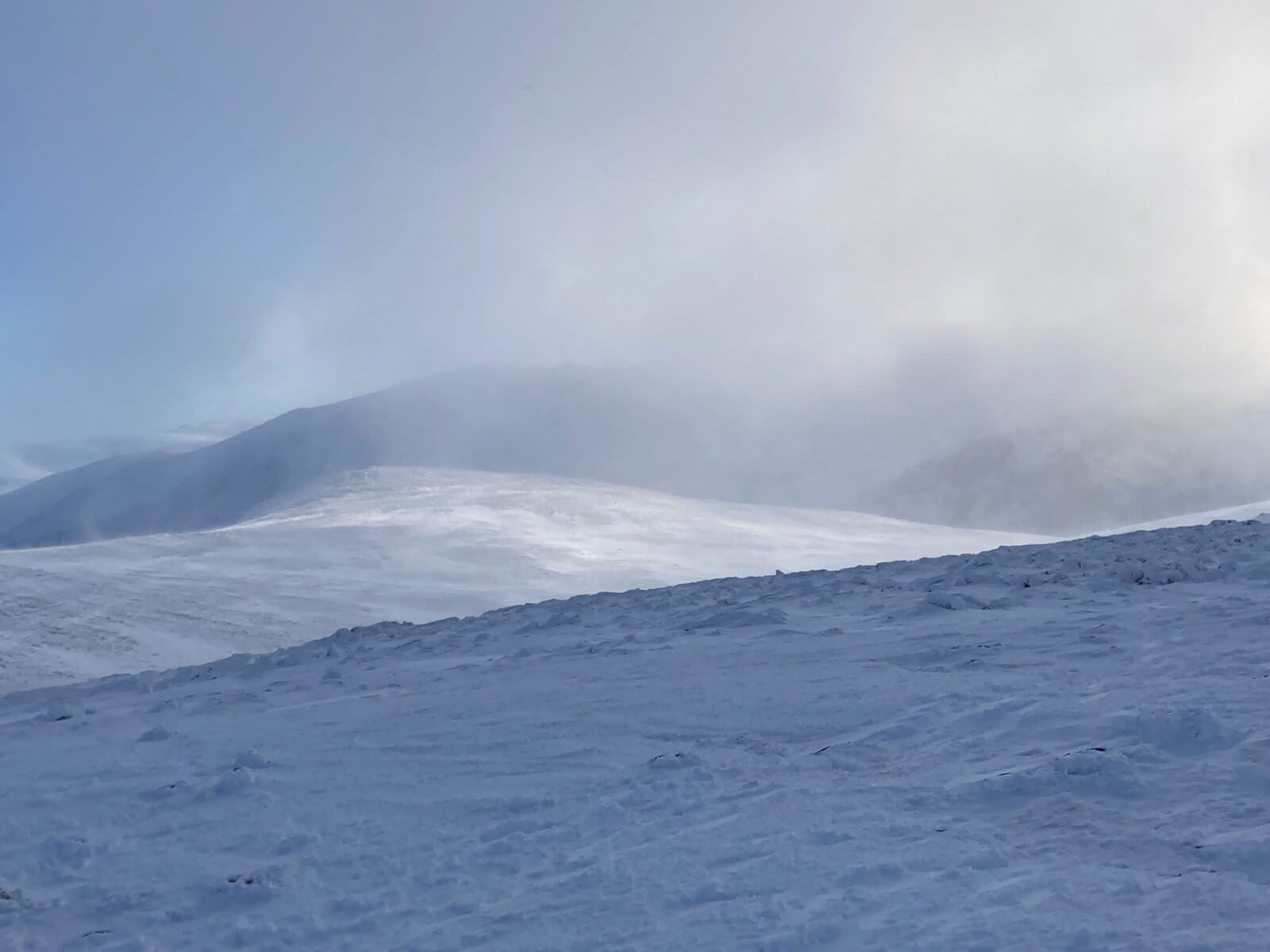
Looking across the plateau towards Beinn Mheadhoin, snow on the plateau is drifting in the strong westerly winds, this will only increase as the winds turn southerly and strengthen early tomorrow.
Comments on this post
Got something to say? Leave a comment


ncairngormsadmin
10th January 2022 12:27 pm
Hi there
we don’t forecast in Kintail, so your best bet is to have a look at the Torrid Blog for general snow conditions as thats the nearest forecasting area.