Soft today firm tomorrow…
21st March 2023
Today was generally dry after some rain overnight, the cloud breaking up early to give good visibility.
The snow cover is still pretty good above 900 metres in the north facing coires and in plateau areas. Over the last few days the snow pack has been moist and slowly consolidating. It cannot really be described as a spring snowpack (i.e. melt-freeze snowpack). As the current snow exhibits the melt without the freeze.
That said, the freezing level is due to fall below the summits tomorrow (Wednesday) and will be around 900 metres early in the morning. This will result in the moist snowpack rapidly freezing to become firm and icy.
There will be implications for travel around the mountains tomorrow, whether on foot or on ski. Especially given the paucity of the runouts. Bare ground and boulders abound on the easier angled slopes and coire floors.
There were quite a few skiers out enjoying the southern side of Cairn Gorm, Coire Raibert and Coire an t-Sneachda today. Good to see them making the most of it, as there will be a brief return to winter tomorrow. Storm force southerly winds and precipitation (rain then snow above 900 metres) are anticipated throughout the forecast period.
Some windslab is likely to be deposited in steep wind sheltered locations on North to East aspects above 900 metres. However, this will most likely to limited in extent and therefore isolated and avoidable. Given the storm force winds there will be ablation of snow into the atmosphere, and softer deposits will be stripped as the windspeed increases. The picture will be a bit more wintery, but the avalanche hazard will remain Low.
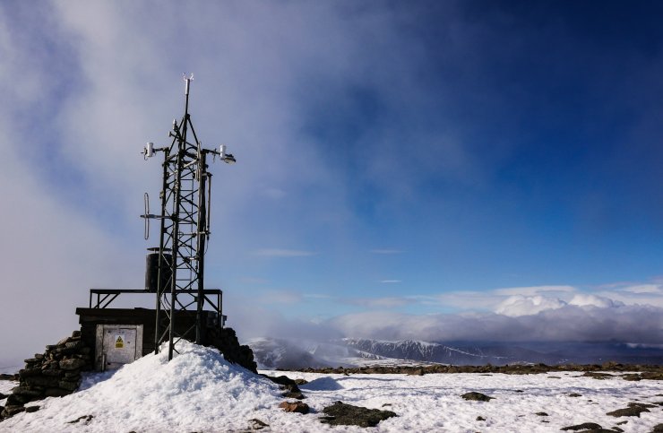
The Cairn Gorm summit weather station, Sron na Lairig and Sgoran Dubh Mor visible in the background.

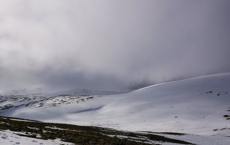
Looking down Coire Raibeirt towards Stacan Dubha and Carn Etchachan. Ice was still visible on Loch Etchachan. For those looking for ice that might be hanging in there, ‘Red Chimney’ on Creagan a’Choire Etchachan forms ice readily. Although this is technically in the SAIS Southern Cairngorms patch I have it on good authority that it is not there at the moment. [Information from a keen suitor who made an early fact finding raid from the north yesterday].
Better cover in Coire Domhain. As usual snow holes are visible due to the areas ability to catch and hold onto snow throughout the season.
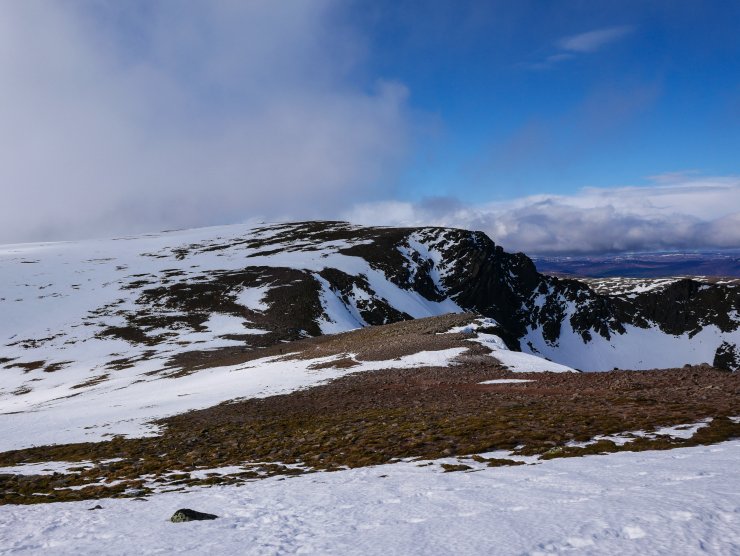
Looking west towards the Fiacaill Ridge from near the top of ‘Alladdin’s Couloir’ and the top of Coire an t-Sneachda. Generally good cover on the plateau, but with the odd bare patch visible.
Comments on this post
Got something to say? Leave a comment


