Windslab/Persistent Weak Layers
28th March 2023
Today, the freezing level rose throughout the day and is expected to be above the summits by early this evening. During the morning, the snow was still drifting high up on the strong, generally Southerly winds. This windslab overlays persistent weak layers resulting in a very fragile snowpack. Steep North-West to North-East aspects are particularly affected. Even though the thaw will start to stabilise things, these weaknesses will persist for a little longer.
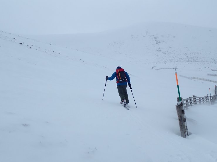
The photo below is heading into Coire Chais this morning illustrating that there was still plenty of drifting snow high up on these Northerly aspects.
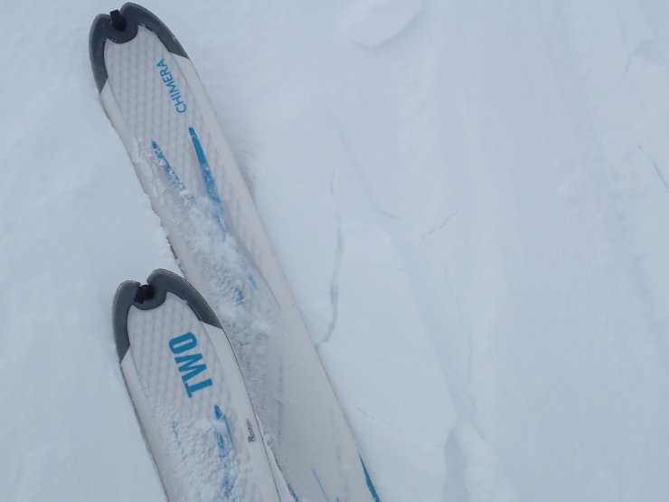
There was evidence of instabilities within the new windslab accumulations.
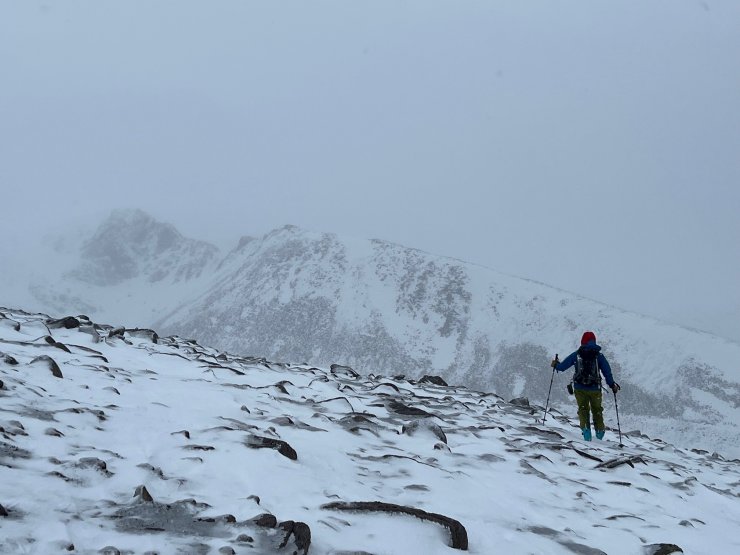
Below a view looking up the Fiachaill a Coire Chais. Clearly showing the contrast between the scoured West aspect and deposition of windslab on the East aspect of the ridge.
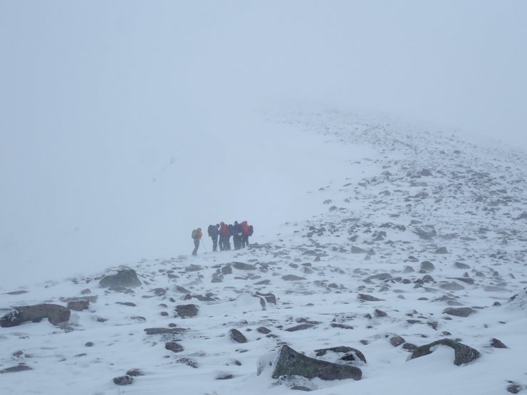
A view into Coire an’t Sneachda.
Comments on this post
Got something to say? Leave a comment


