The day after storm Gerrit.
28th December 2023
Today was a little less wild than during Gerrit’s visit but with challenging conditions continuing in the mountains. Keeping mainly to sheltered aspects, there were frequent snow showers above 850 metres with strong to gale South Westerly winds resulting in blizzard conditions and drifts forming. Wind slab was present on North to East aspects with other sheltered aspects affected by cross loading. Not feeling quite as cold today, the freezing level was around 1000 metres. Areas exposed to the wind were being scoured.

Good overview of wind deposited snow and scouring. Northern Corries.

Looking into Coire na Ciste and Coire Laogh Mor

From notable drifting to thawing conditions at 500 metres.
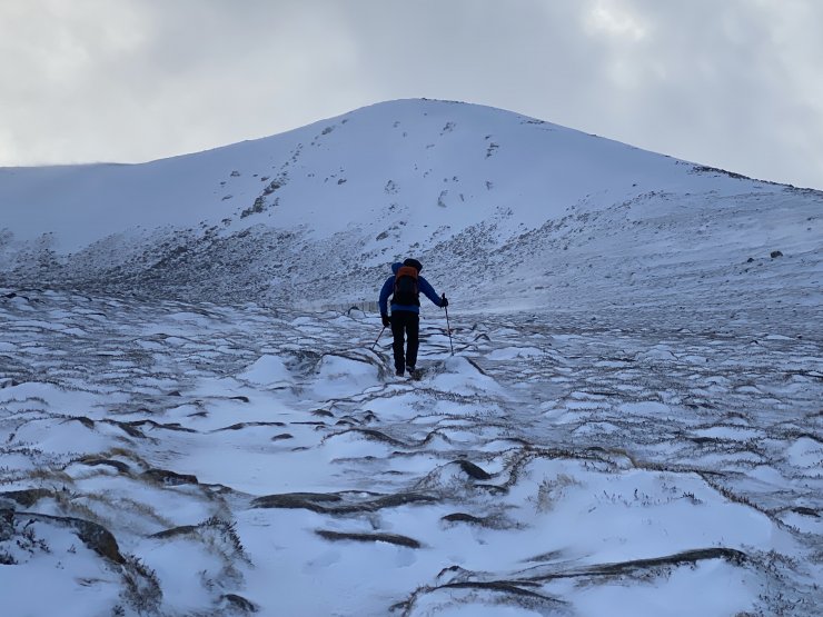
A brighter spell between the showers heading for the Cas Ridge.

Strong buffeting, and whilst not clear in the image, blizzard conditions during showers. Cas Ridge at 1000 metres.
Further snow showers overnight with continuing wind slab deposits. Dryer tomorrow with occasional showers and the strong Westerly winds easing only slightly.
Comments on this post
Got something to say? Leave a comment


