Sensitive snowpack
18th January 2024
Another cold day in the Cairngorms with signs of snowpack instability being obvious at multiple locations. At higher levels, the snow is continuing to drift resulting in the continuing development of some very sensitive windslab. There are still great amounts of unconsolidated snow patiently waiting for the winds to increase where it will be transported once again. Combined with fresh amounts of snowfall arriving over the next 24 hour forecast period, avalanche are likely to occur.
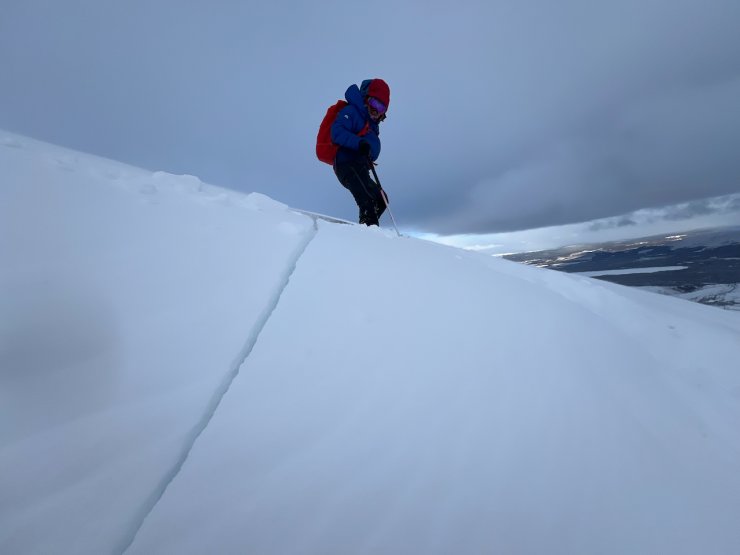
A classic sign of snowpack instability – cracking/shooting cracks.

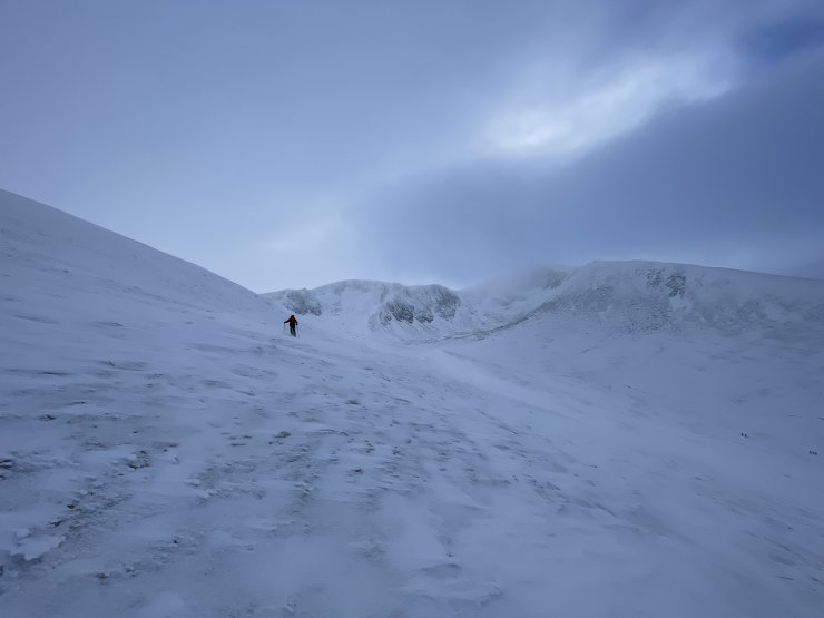
A new location but a similar theme on snowpack stability.
Where exposed to the wind, the ground remains icy and firm.
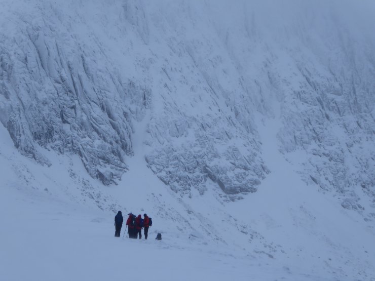
Contemplating decisions.
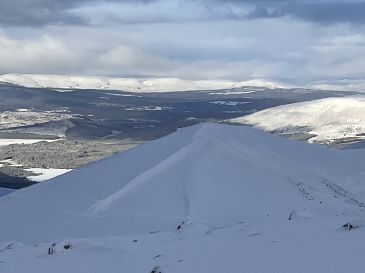
Looking North down to the Strath with wind shaped features catching the afternoon light.
Comments on this post
Got something to say? Leave a comment