A day of two halves…
26th February 2024
It was a day of two halves: the first was mainly cloudy and the second was sunny with stunning views across the Cairngorm plateau.
Strong North-Westerly winds during the morning brought hill fog and low cloud to the Northern side of the Cairngorms. This eventually burnt off during the late morning to give a sunny and pleasant afternoon. There has been some further new snowfall overnight, which was on the ground this morning from around 400 metres – much of this new snow at these low altitudes has melted off during the day.
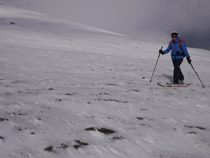
Evidence of the snow being redistributed by the strong North-Westerly winds was observed as we made our way up through the ski area towards there East side of Cairngorm. Localised and unstable windslab is continuing to build, gaining depth on North through East to South-East aspects above 900 metres. Elsewhere the new snow overlies bare ground with the older snow remaining firm and icy. Many snow slopes and crag aprons end abruptly in boulders or rocks.
Further snow and storm force winds forecast for the next day, with more wind transportation of snow to be expected.
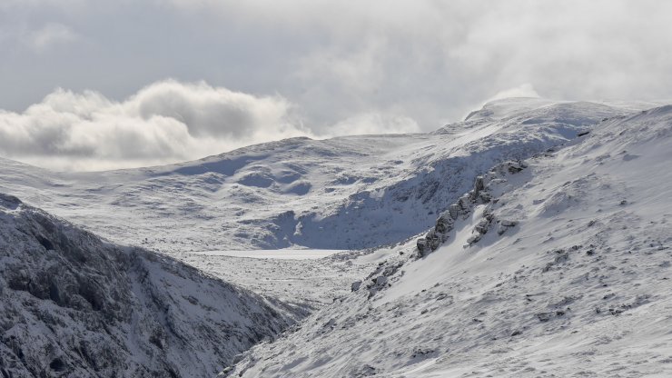
A view across Glen Avon towards the snow covered Loch Etchachan
StacanDubha 1013m
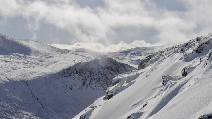
A view to Being Mheadhoin from above Coire Raibert
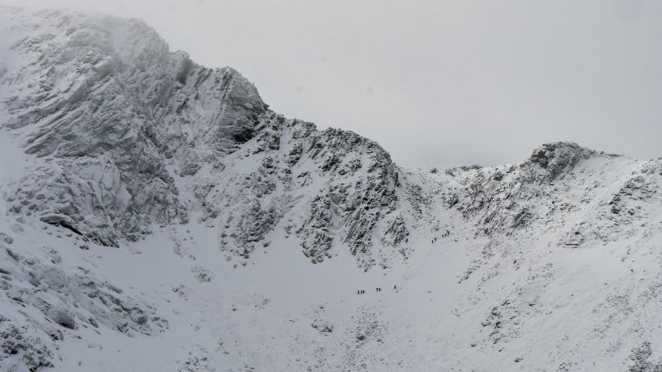
Fiacaill Buttress and Col – spot the groups of winter mountaineers.
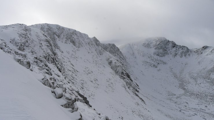
Coire an t-Sneachda
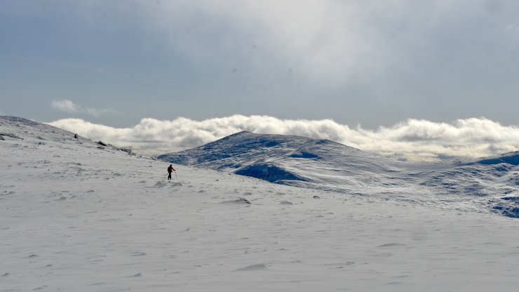
A view up the South and South-East aspects on Cairngorm.
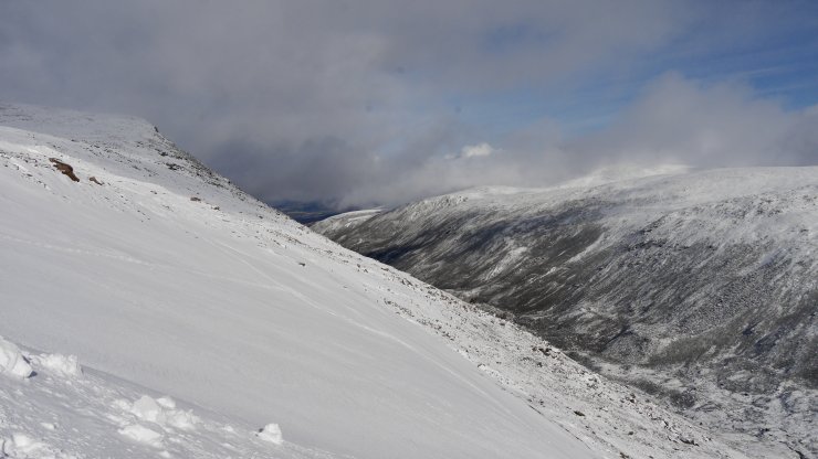
A view North up Strath Nether, windslab accumulations on the South-East aspect around 1000 metres
Comments on this post
Got something to say? Leave a comment


