Firm
3rd February 2024
There has been significant snow loss over the last few days. What snow remains has now become firm in all locations.
Overnight, and throughout tomorrow, fresh unstable windslab will build on North-East to South-East aspects above 900 metres. The avalanche hazard will be moderate. However, there is uncertainty in the forecast as to the snow amounts and the avalanche hazard may reduce if the snow quantities are at the lower end of what is forecast.
The hazard from run outs remains serious, as in all other areas the old snowpack will remain firm and icy.
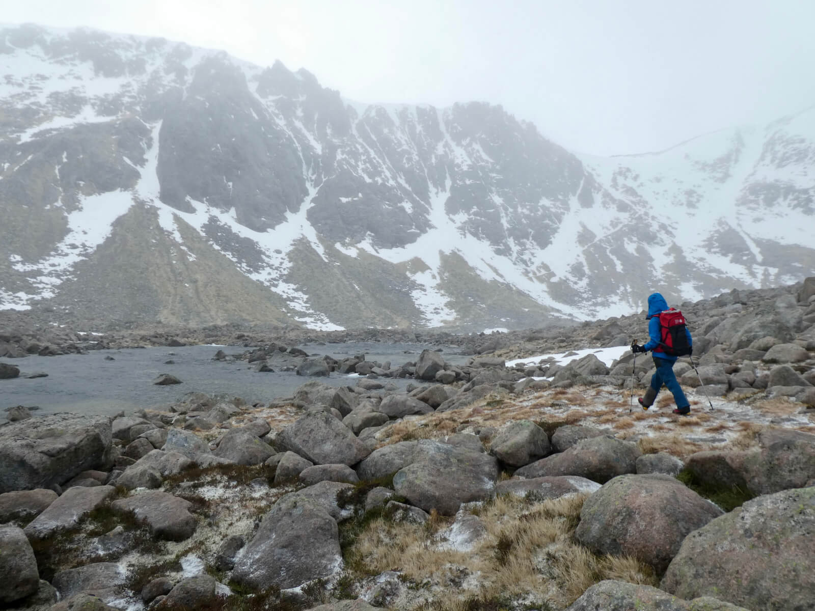
Walking into Coire an t-Sneachda. The extent of today’s fresh snow can be seen in the foreground of the picture in amongst the rocks – it was not extensive!
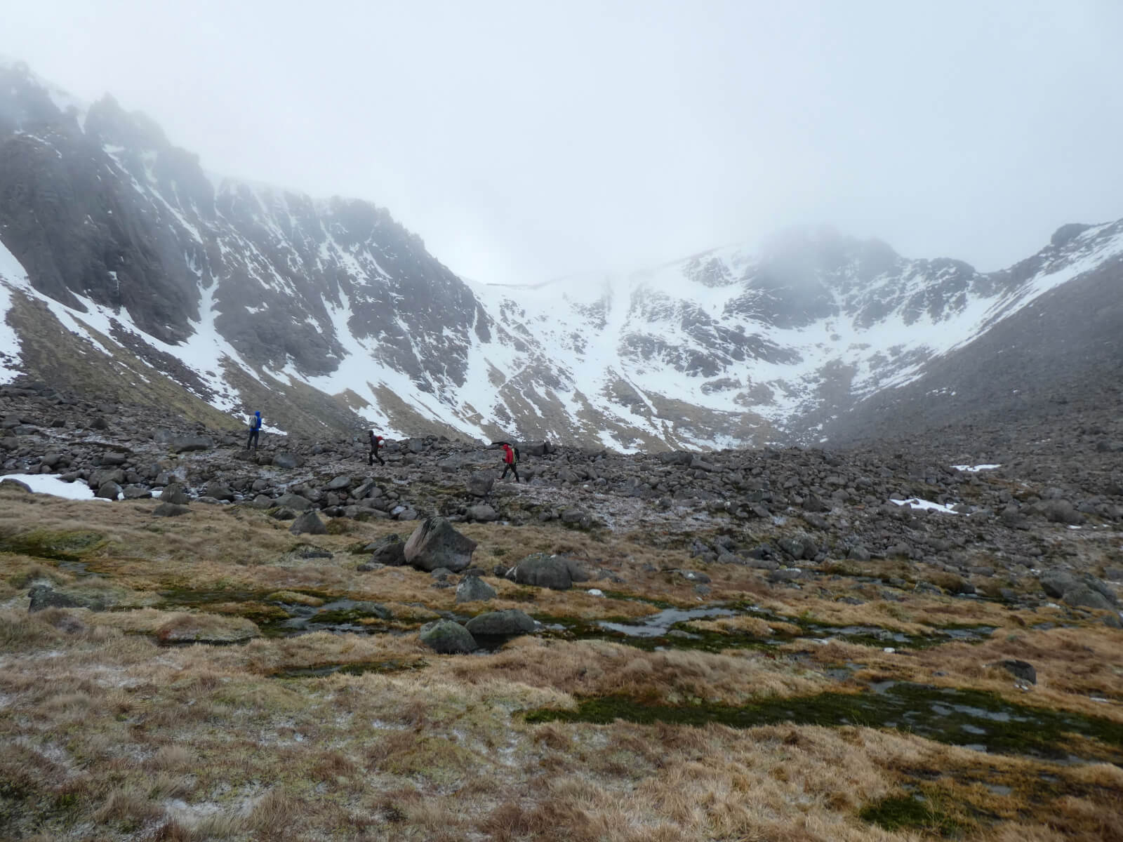
Looking across at Fiacaill Butress.
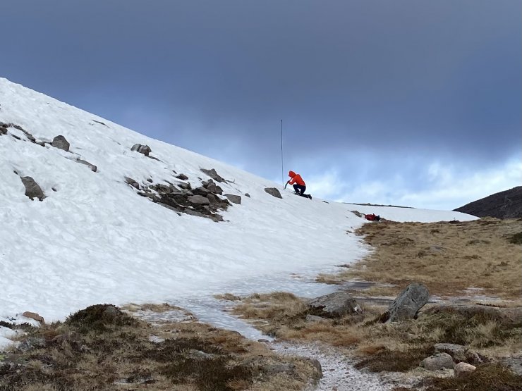
Hiding out of the gale force Westerly winds for today’s snow profile.
Comments on this post
Got something to say? Leave a comment


