Returning home
23rd January 2025
It’s been good exploring the lesser known areas of the Northern Cairngorms patch but with Storm Eowyn about to make landfall with a very large bang, it’s time to return home as some might say.
We are expecting a significant amount of persistent fresh snowfall from a few hours before dawn, through the remainder of the forecast period – that’s about 13 hours in real money. This new snow will be accompanied with potentially hurricane force winds on the plateau for a few hours. Therefore, having gone from a very benign situation this will change very dramatically. Any hazard will not be limited to the high tops, since much of the snow will get blown down to mid middle level on the strong winds. For more information about tomorrow’s dynamic situation, please refer to the main SAIS Report Page.
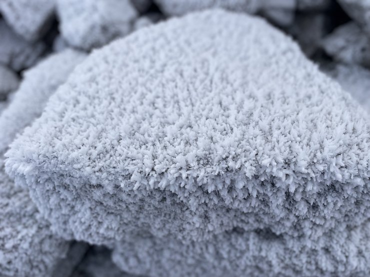
Above: initially it felt that we had some fresh snowfall overnight, but no, just a good covering of frost above 950 metres.
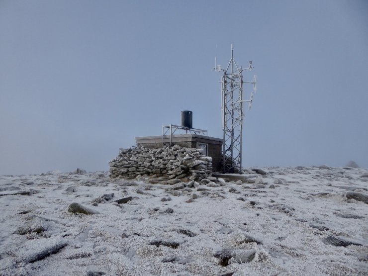
Above: Cairn Gorm weather station. The highest wind speed ever recorded by the Met Office in the UK was 173 mph on March 20th 1986. Maybe this long standing record will be broken?
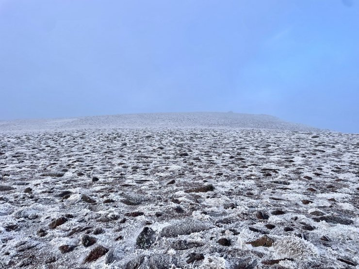
Above: SH 1141m in the distance.
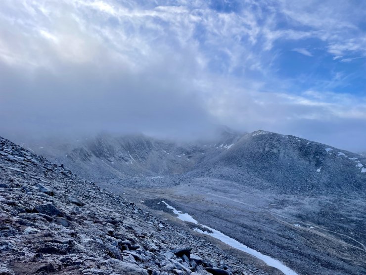
Above: Coire an t-Sneachda
Comments on this post
Got something to say? Leave a comment


Roger Baer
23rd January 2025 5:02 pm
SH 1141m
Can’t find that on the map. What does it stand for? Thanks
ncairngormsadmin
24th January 2025 1:00 pm
Hi there
it’s the spot height of the Cairn at 1141m top of the Fiacaill a Choire Chais ridge.
ncairngormsadmin
24th January 2025 3:13 pm
SH is a commonly used mountain abbreviation for Spot Height. 1141 m is the height of the Choire Chais ridge.