Cooler temperatures
5th February 2025
Much cooler temperatures than of late. After overnight snowfall new windslab accumulations developed. These are most widespread in wind sheltered locations above 1000 metres. Although shallow they trigger easily and could potentially knock you off your feet, elsewhere the old snowpack is stable and firm. See SAIS report for more details.

Windslab on a 33 degree North-East aspect at 1000 metres.
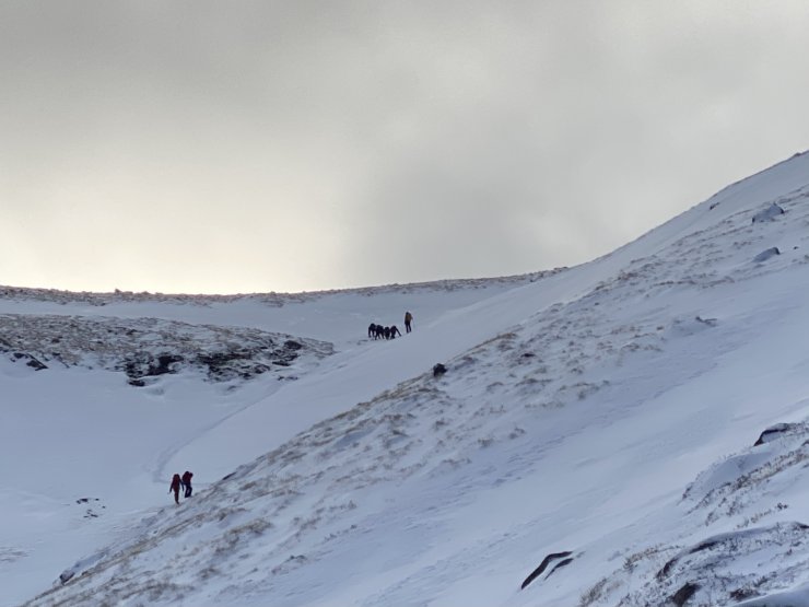
A group above the twin burns.
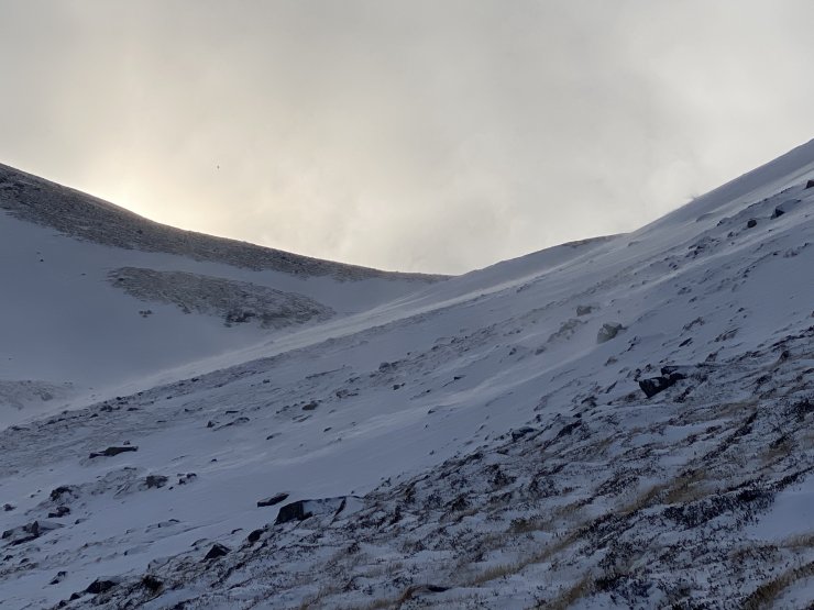
Looking up towards the twin burns area Lochain, where drifting can be seen at the top of the slope.

Coire and Lochain. The old snow has become very firm with serious run out potential on steeper slopes.
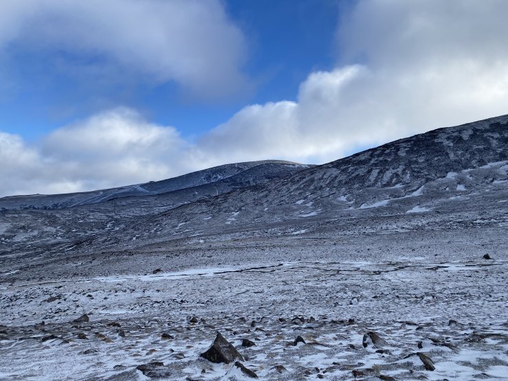
Looking across towards the summit of Cairngorm.
Comments on this post
Got something to say? Leave a comment


